-
work /
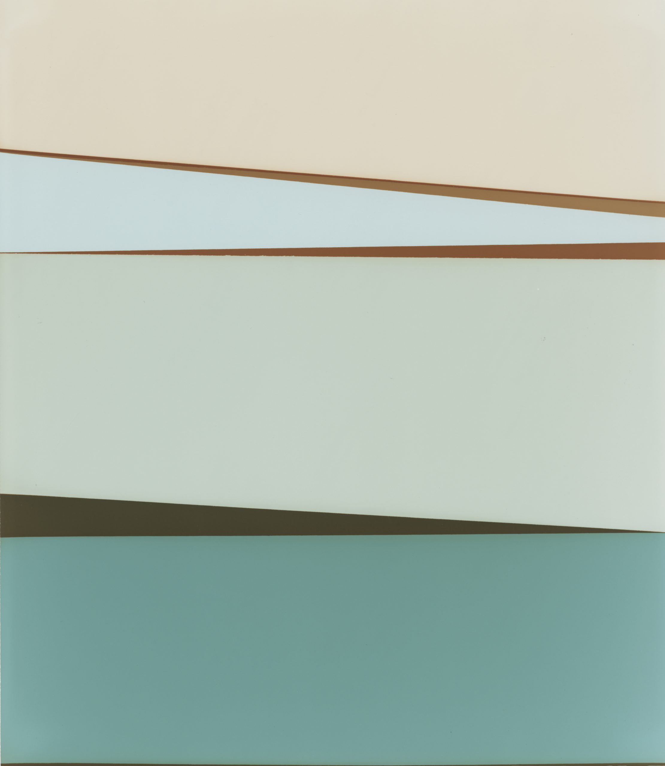
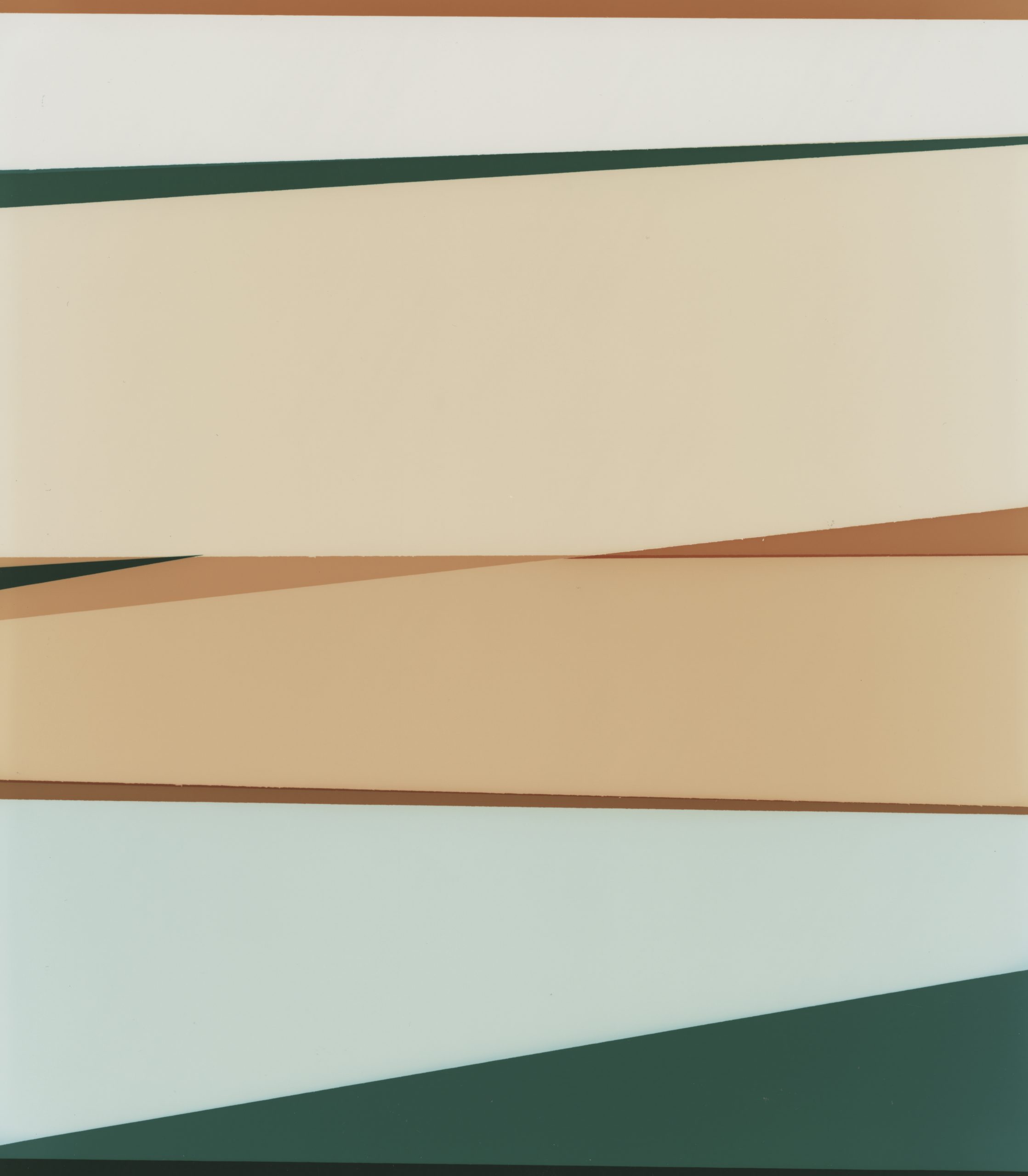
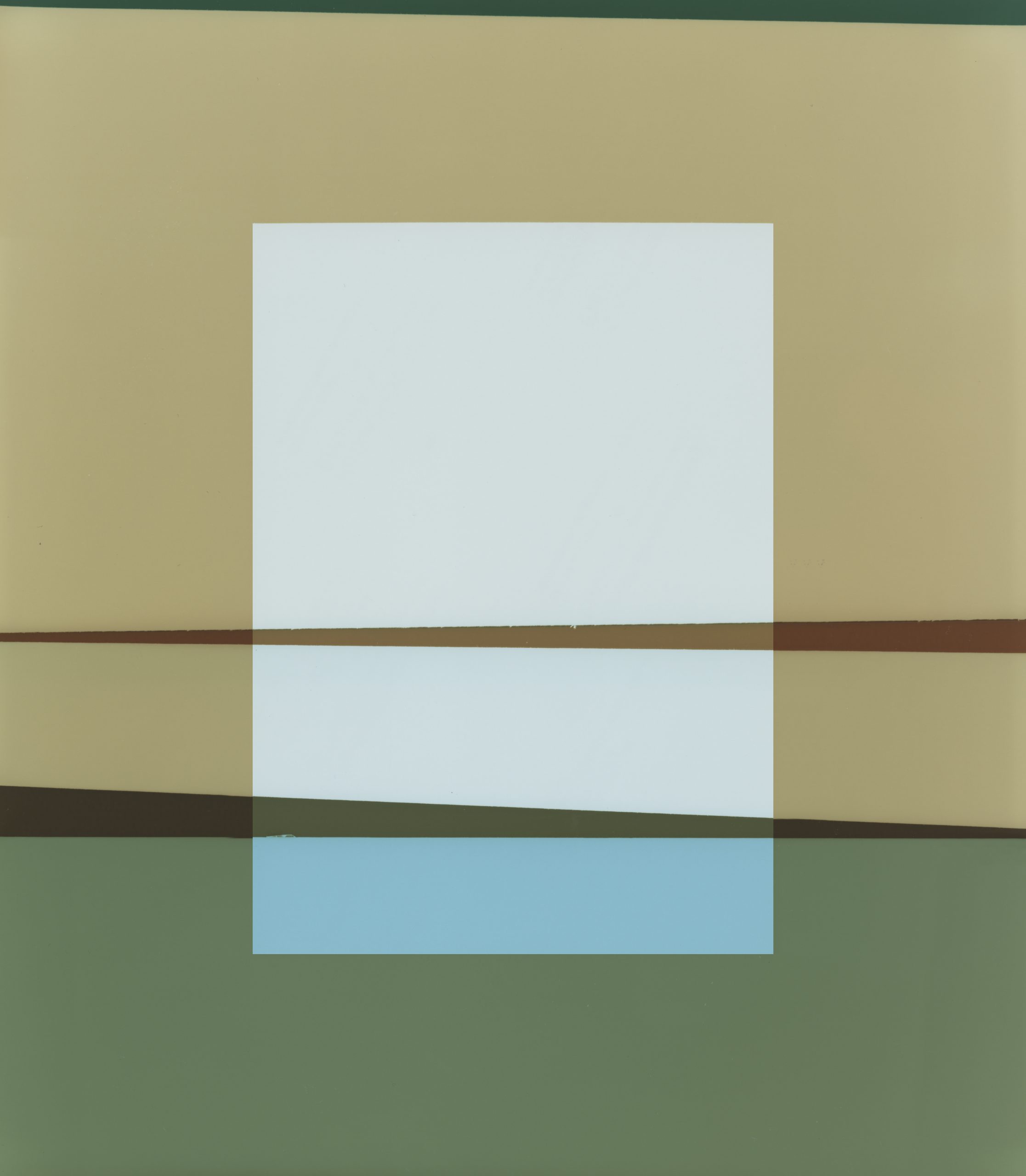
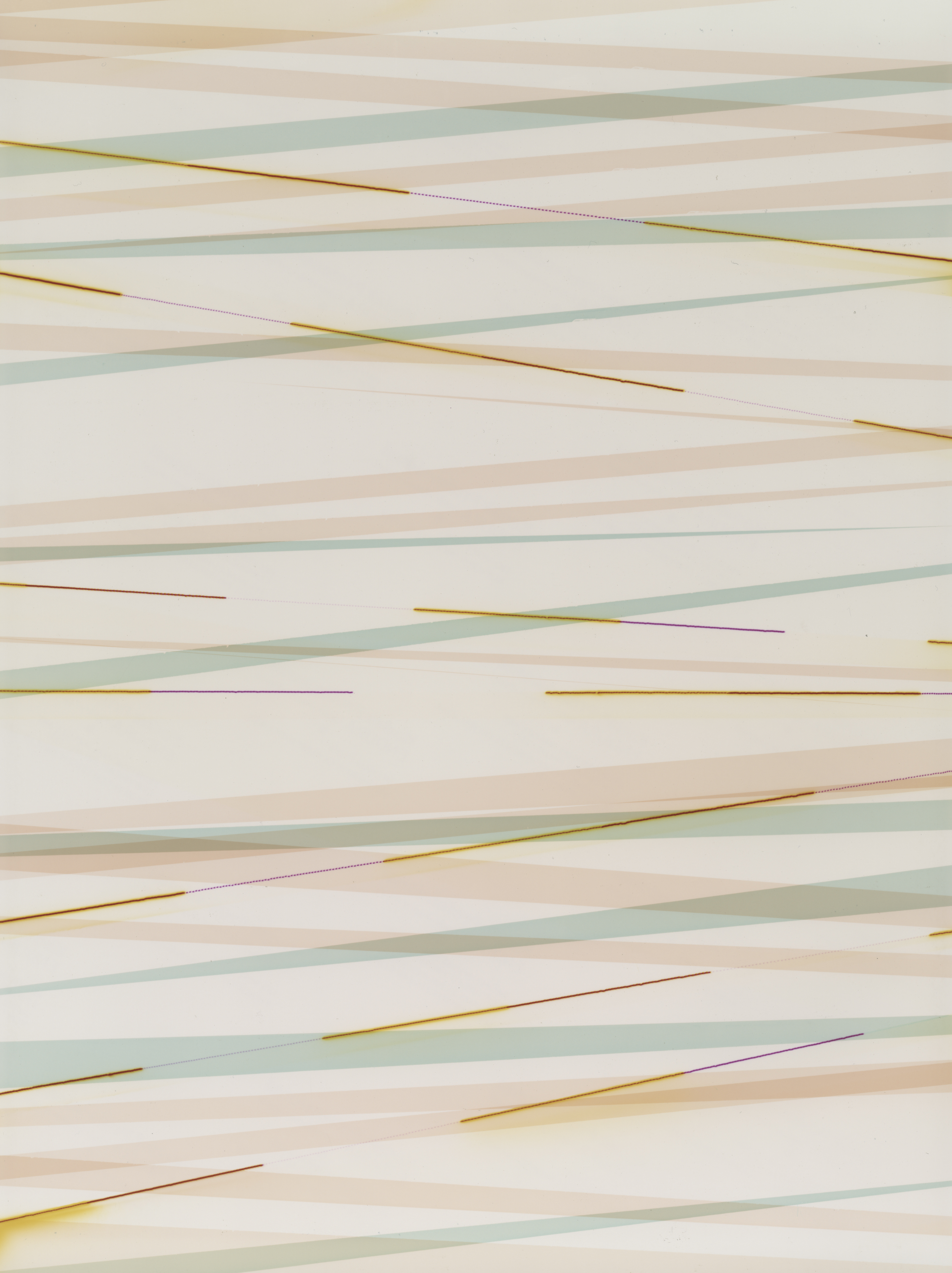
Lipographic Light Studies, 2022
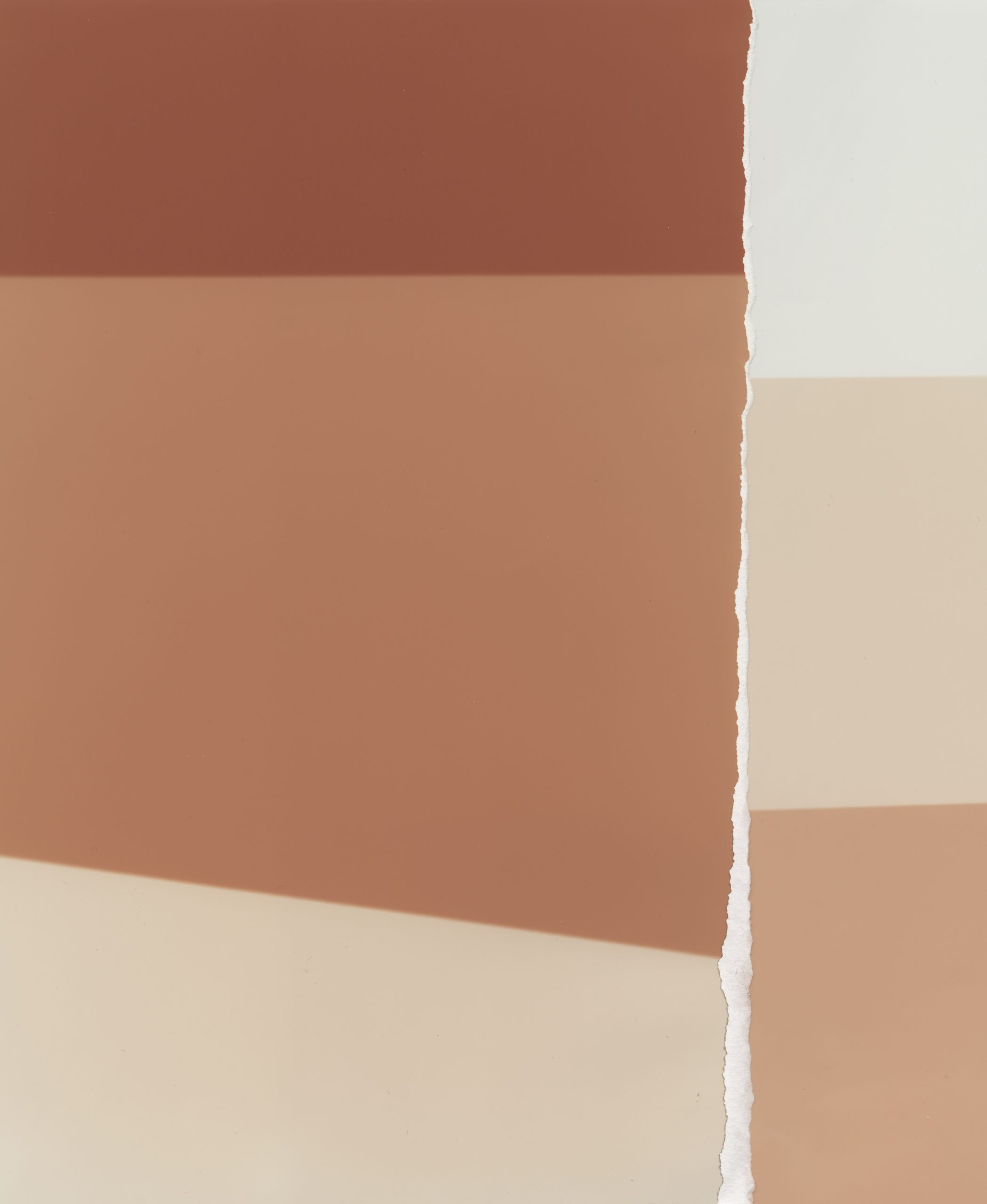
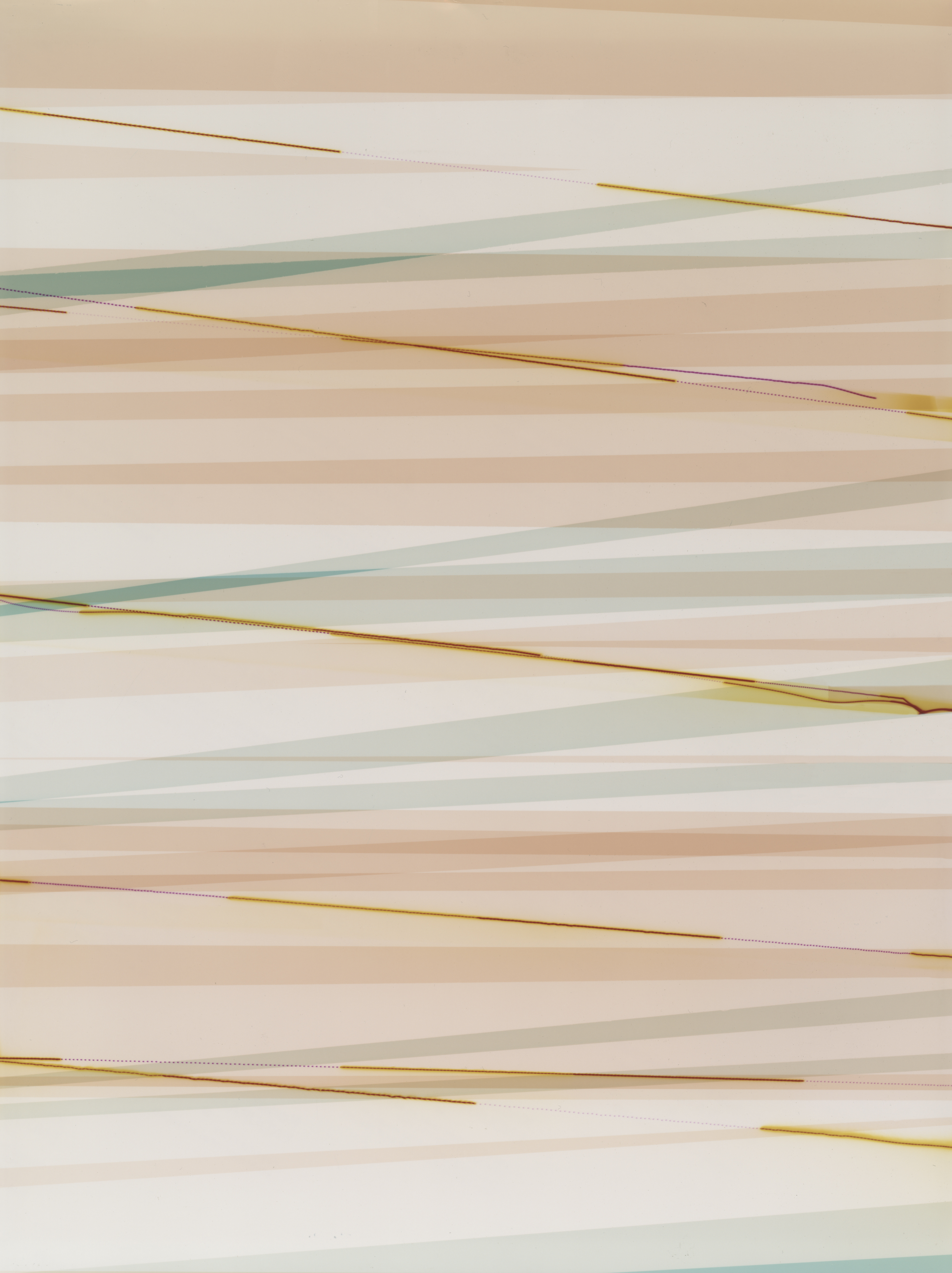
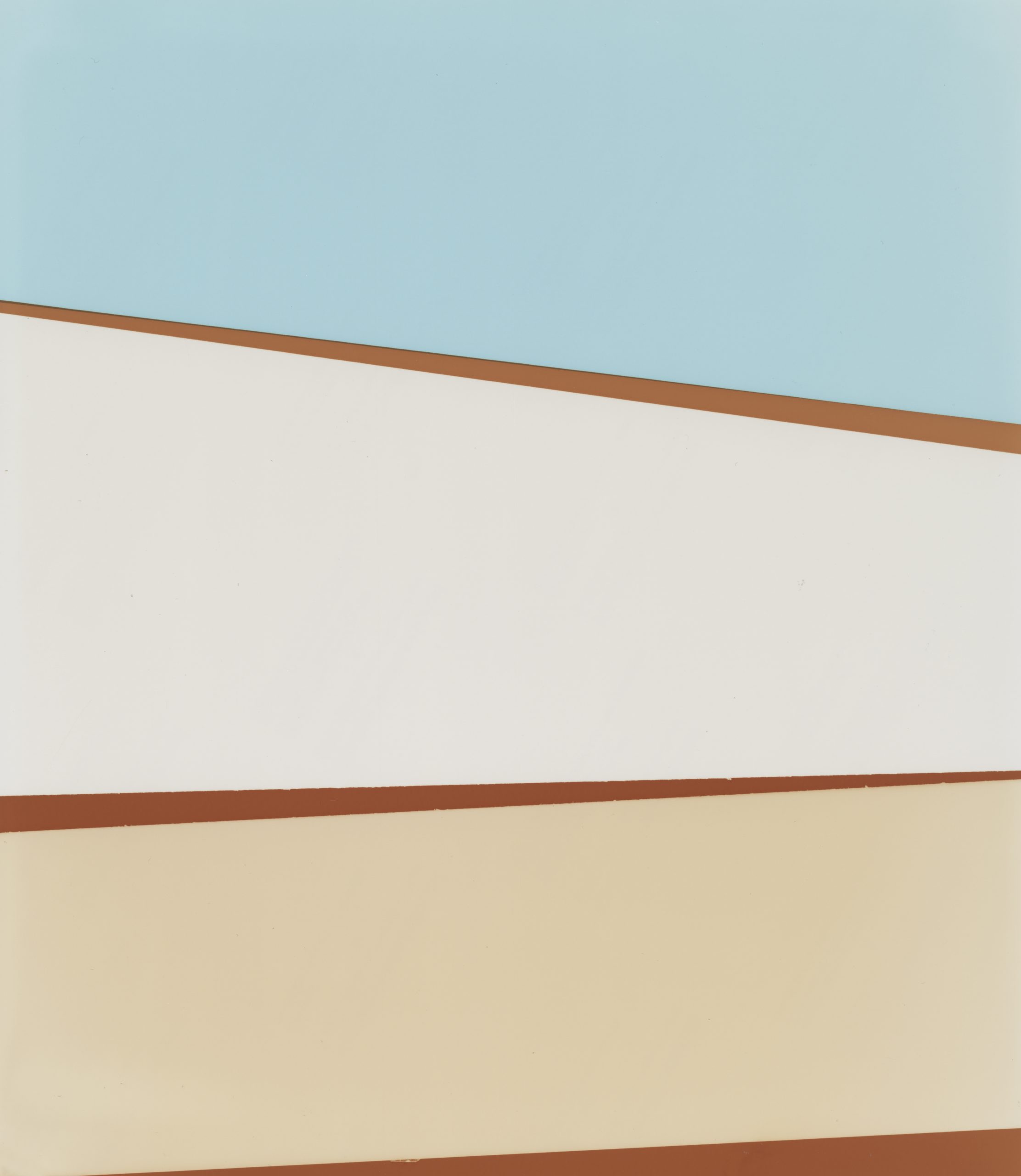
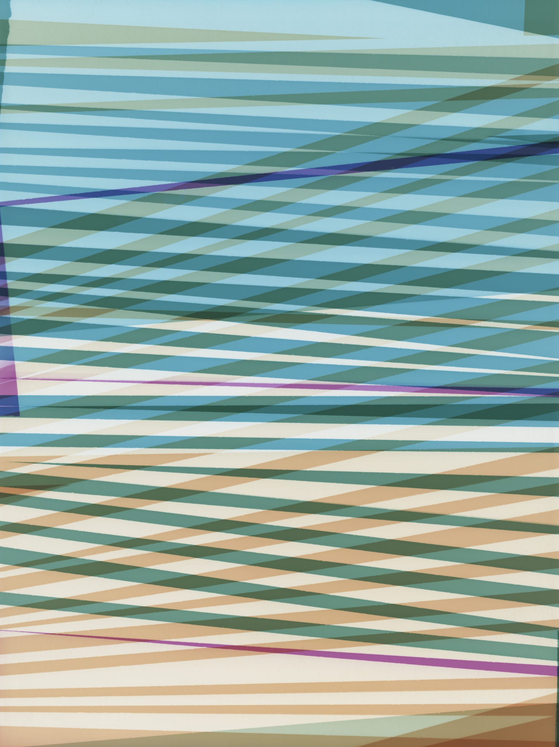
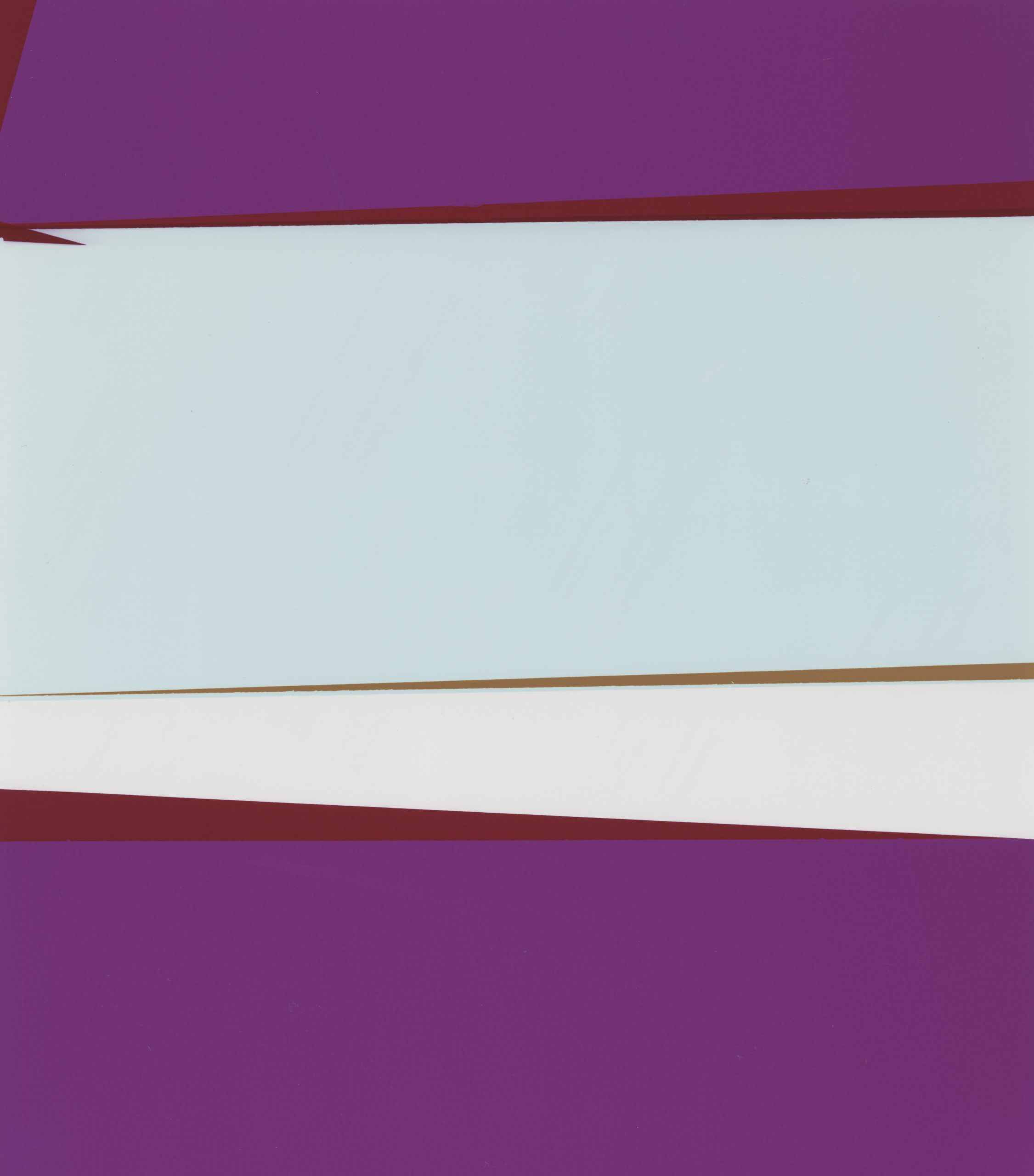
The term “lipograph” was coined by Martins, inspired by Georges Perec’s lipogrammatic practice. A lipogram is a literary device in which a self-imposed constraint is applied to written language in order to open new and unexpected possibilities of expression. Perec, who spearheaded the Oulipo movement and did most to popularise the form, believed that literary constraint was essential when approaching the most difficult of subjects. In La Disparition, he famously excised the most common vowel in both English and French — the letter ‘e’ — while in Les Revenants, he built a monovocalism based solely on it. For many, that absent letter carries a biographical weight beyond the purely formal: without ‘e’, there can be no mère, no père, no Perec — the letter read as an elegy for his parents, who died in the Holocaust.
It is this understanding of constraint as a form of address — a way of approaching what cannot be broached directly — that Martins brings to bear on Lipographic Light Studies. The series forms part of a larger body of work inspired by the death and disappearance of his close friend, the photojournalist Anton Hammerl, during the Libyan war of 2011.
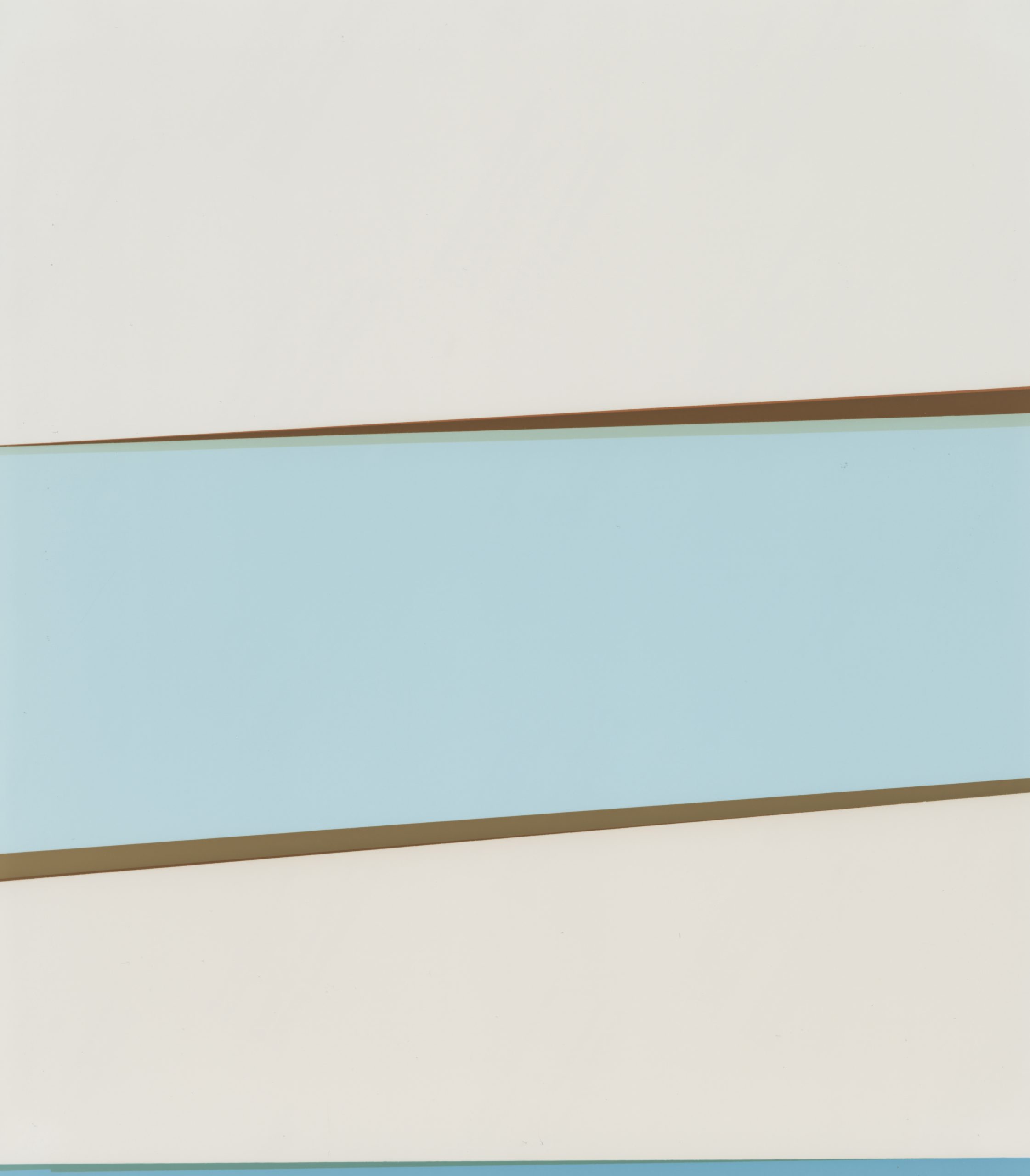
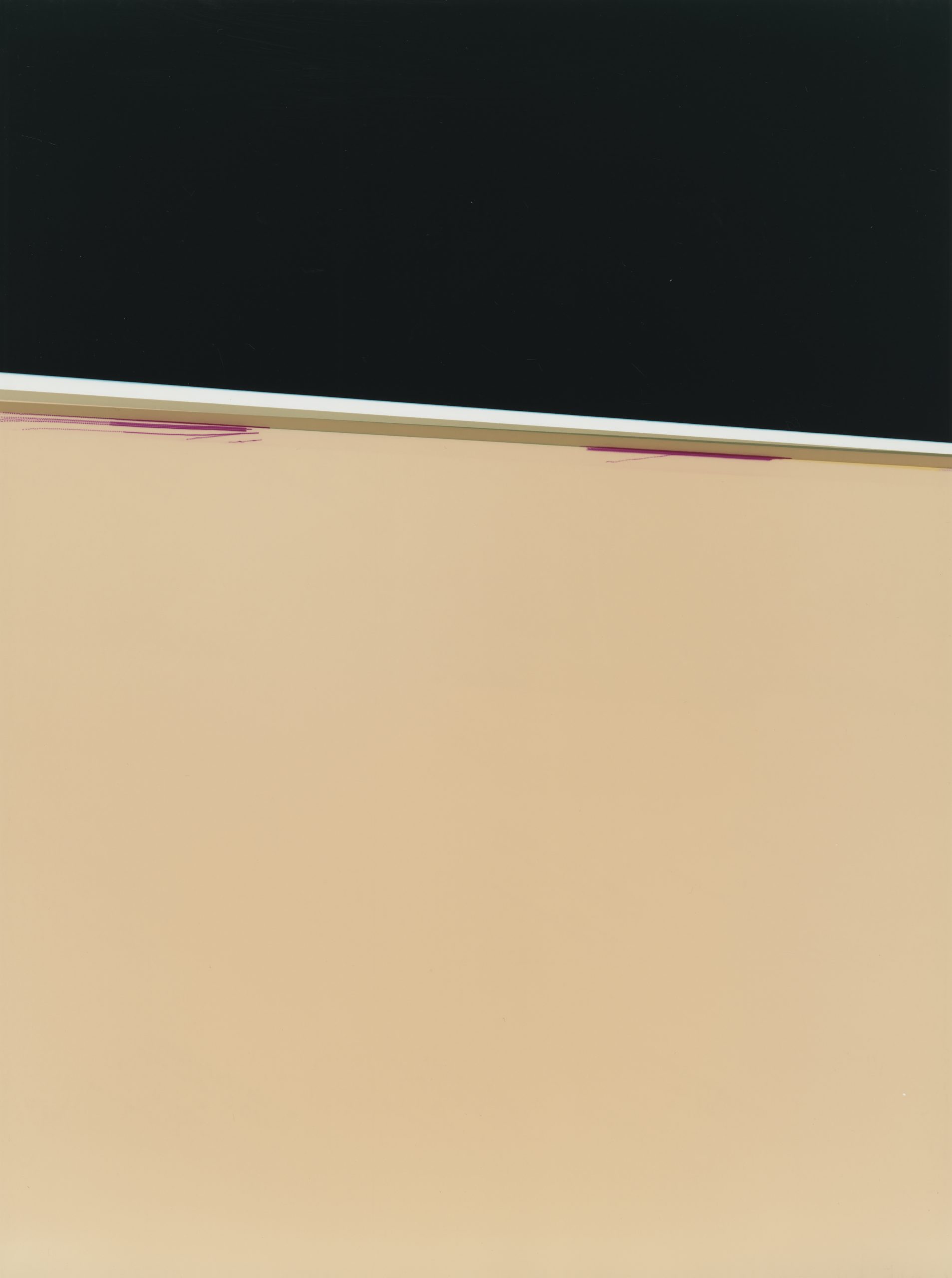
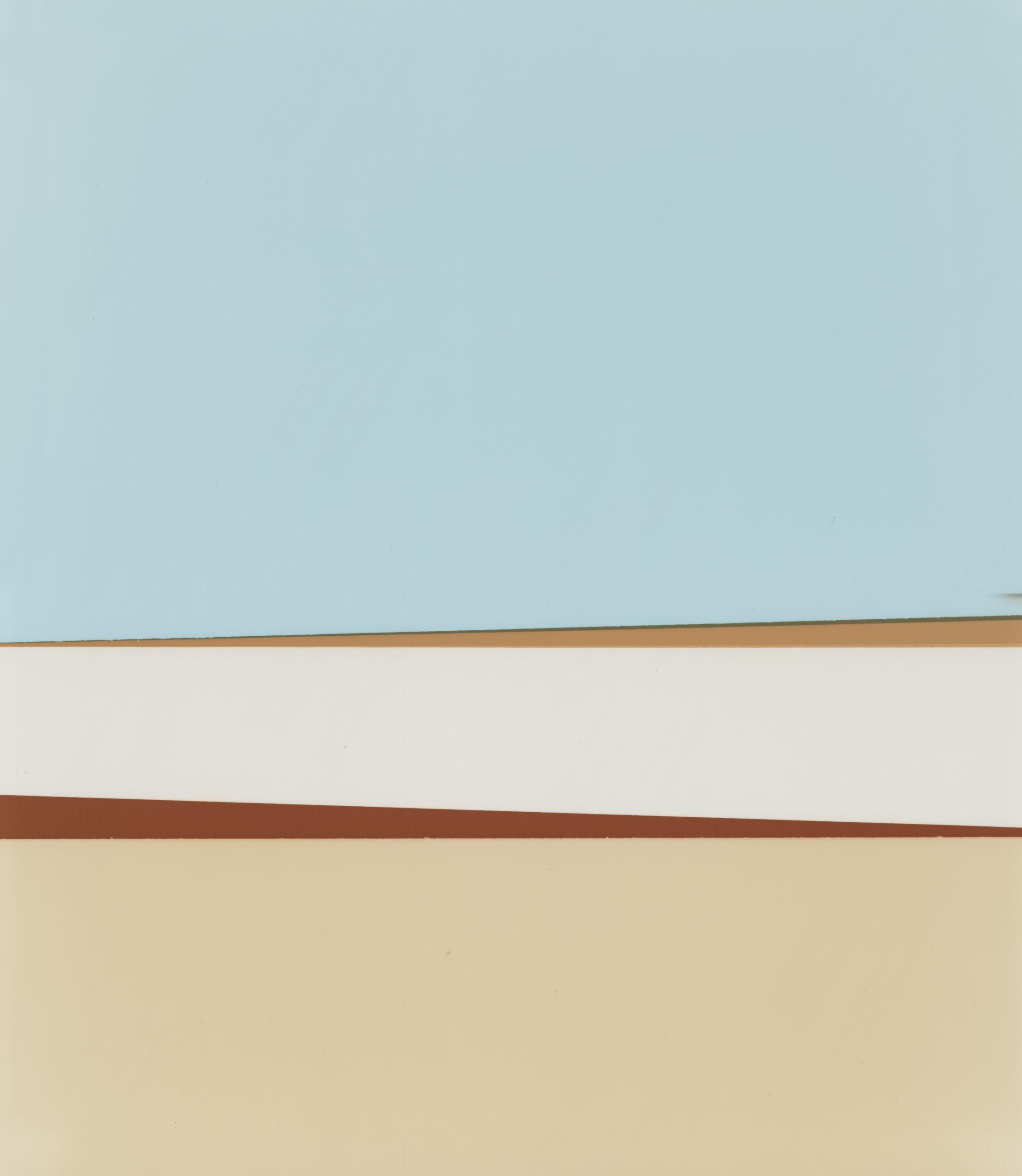
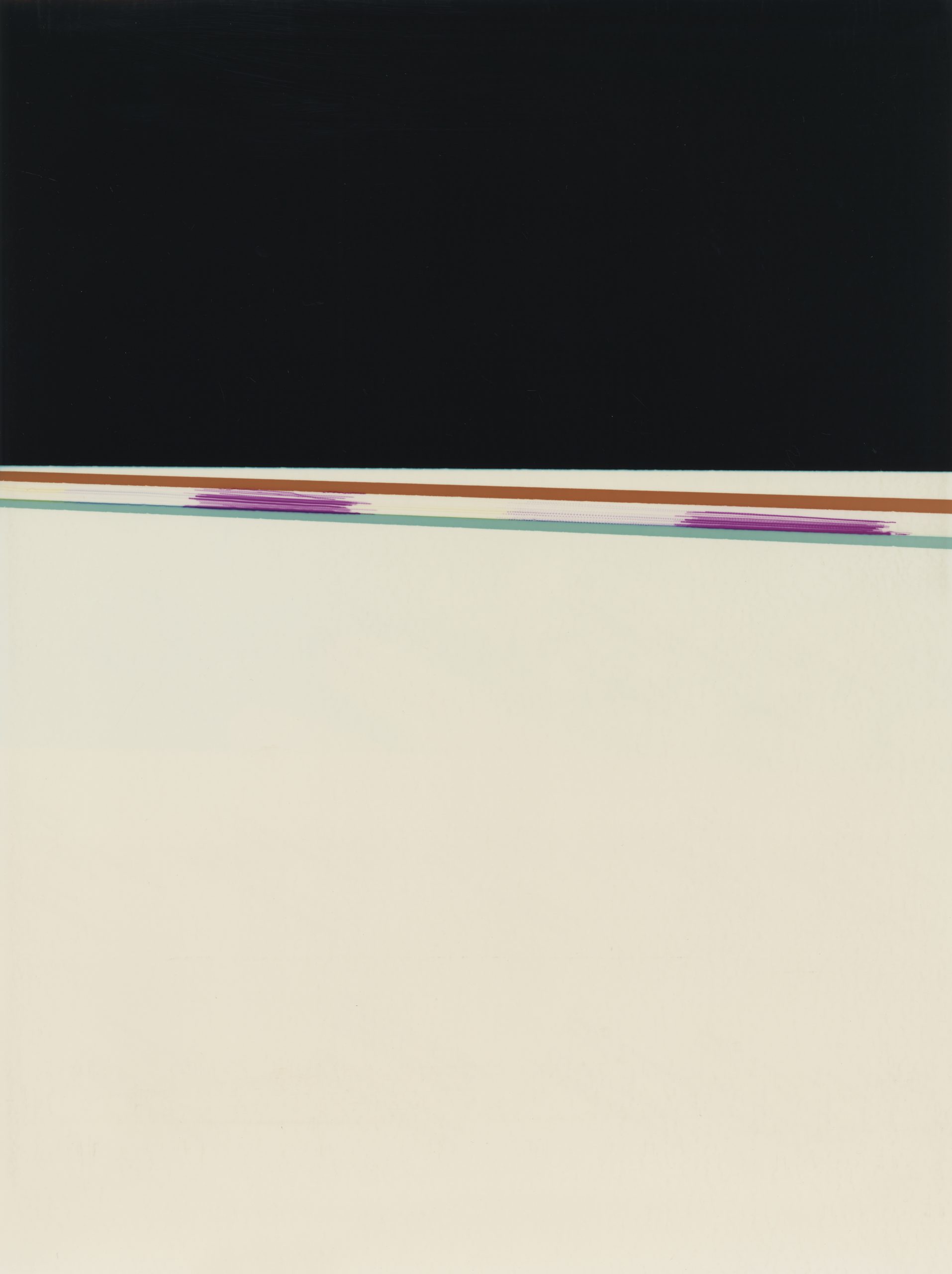
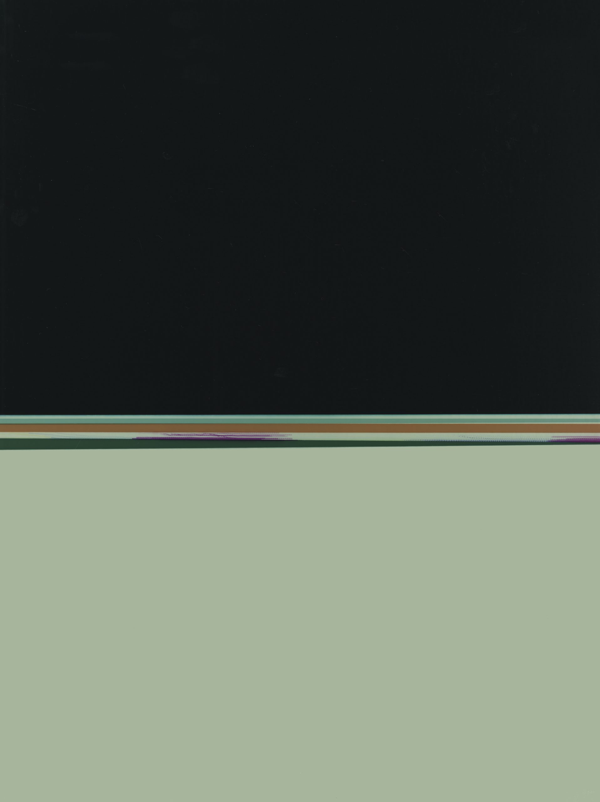
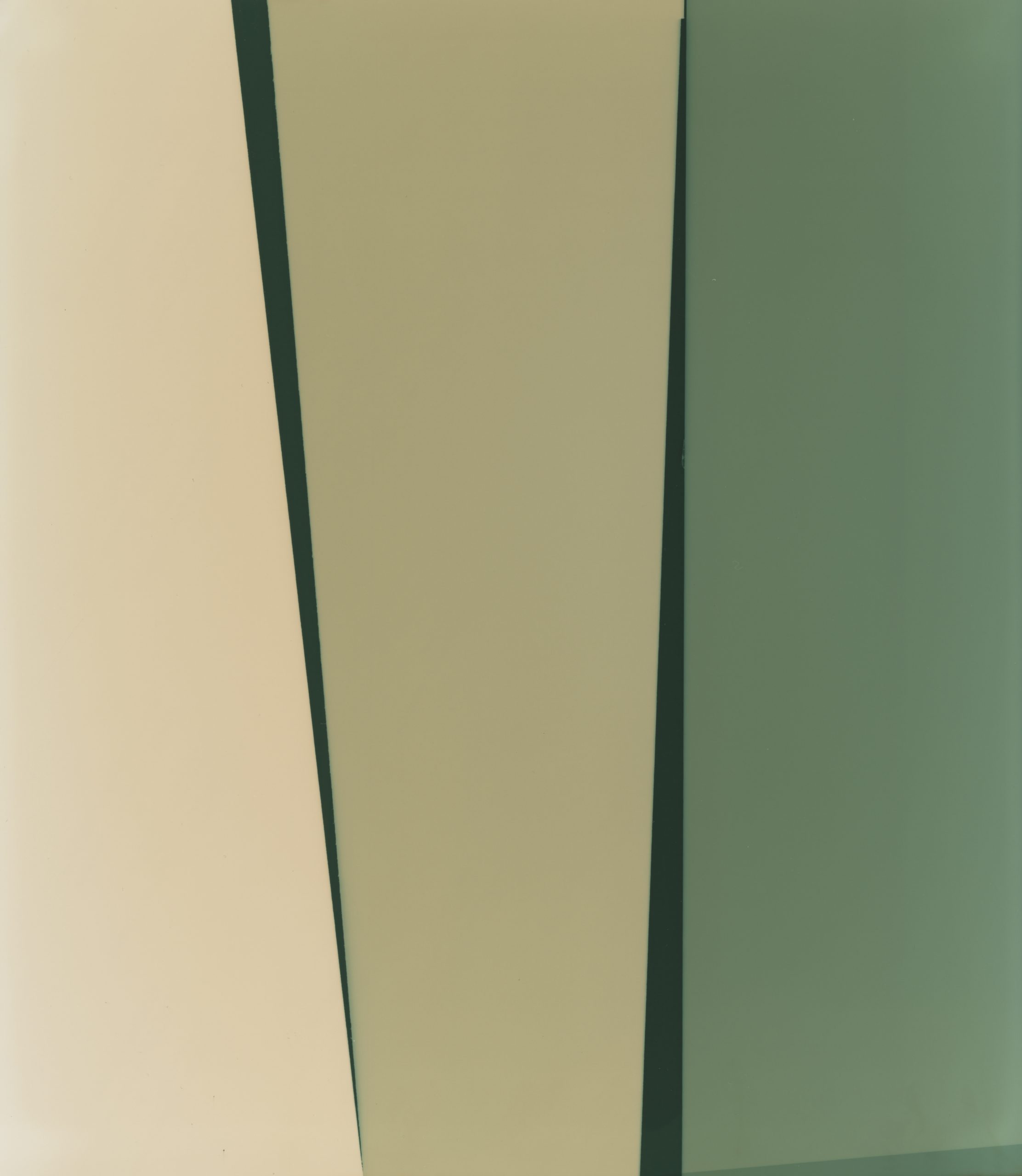
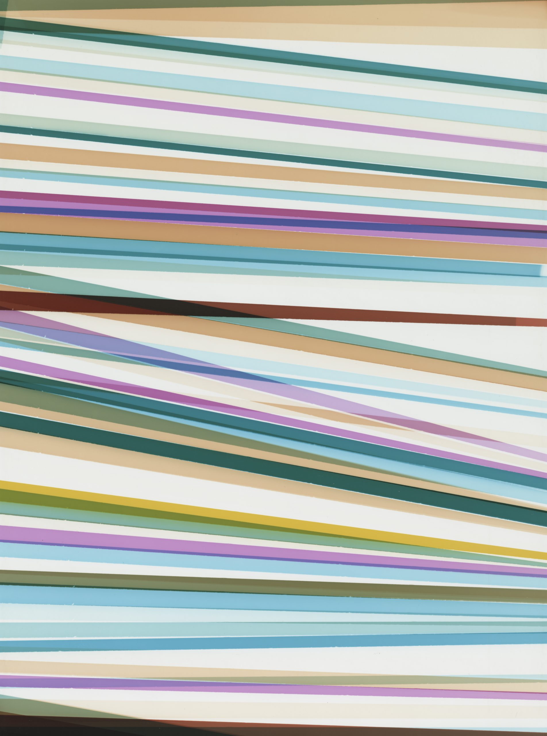
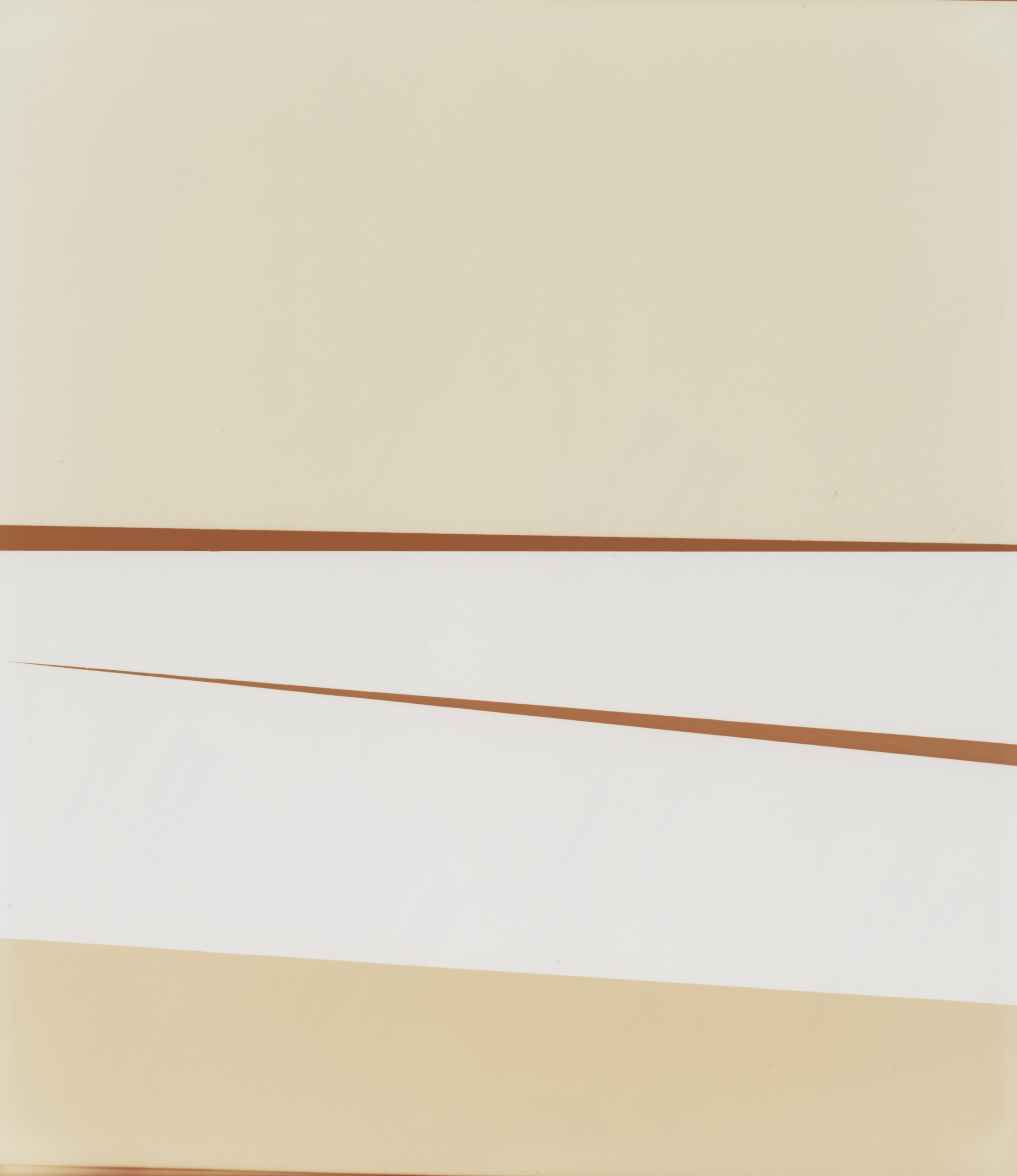
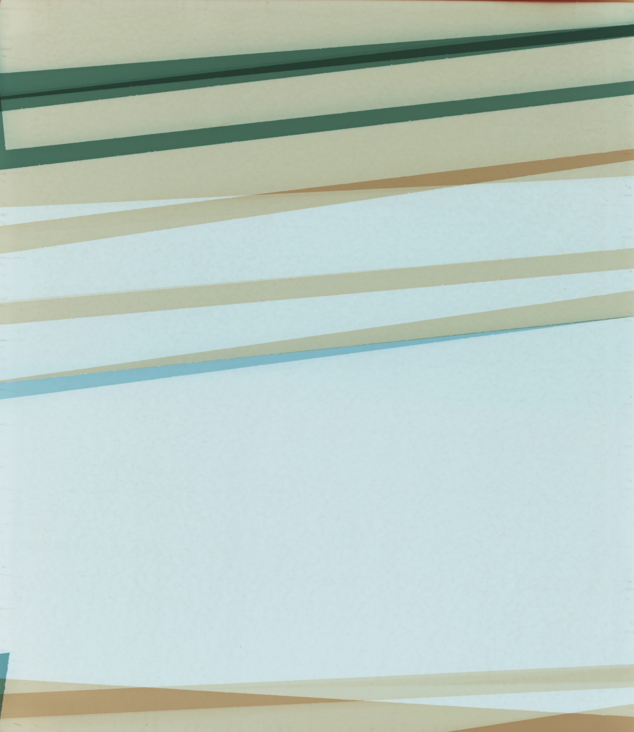
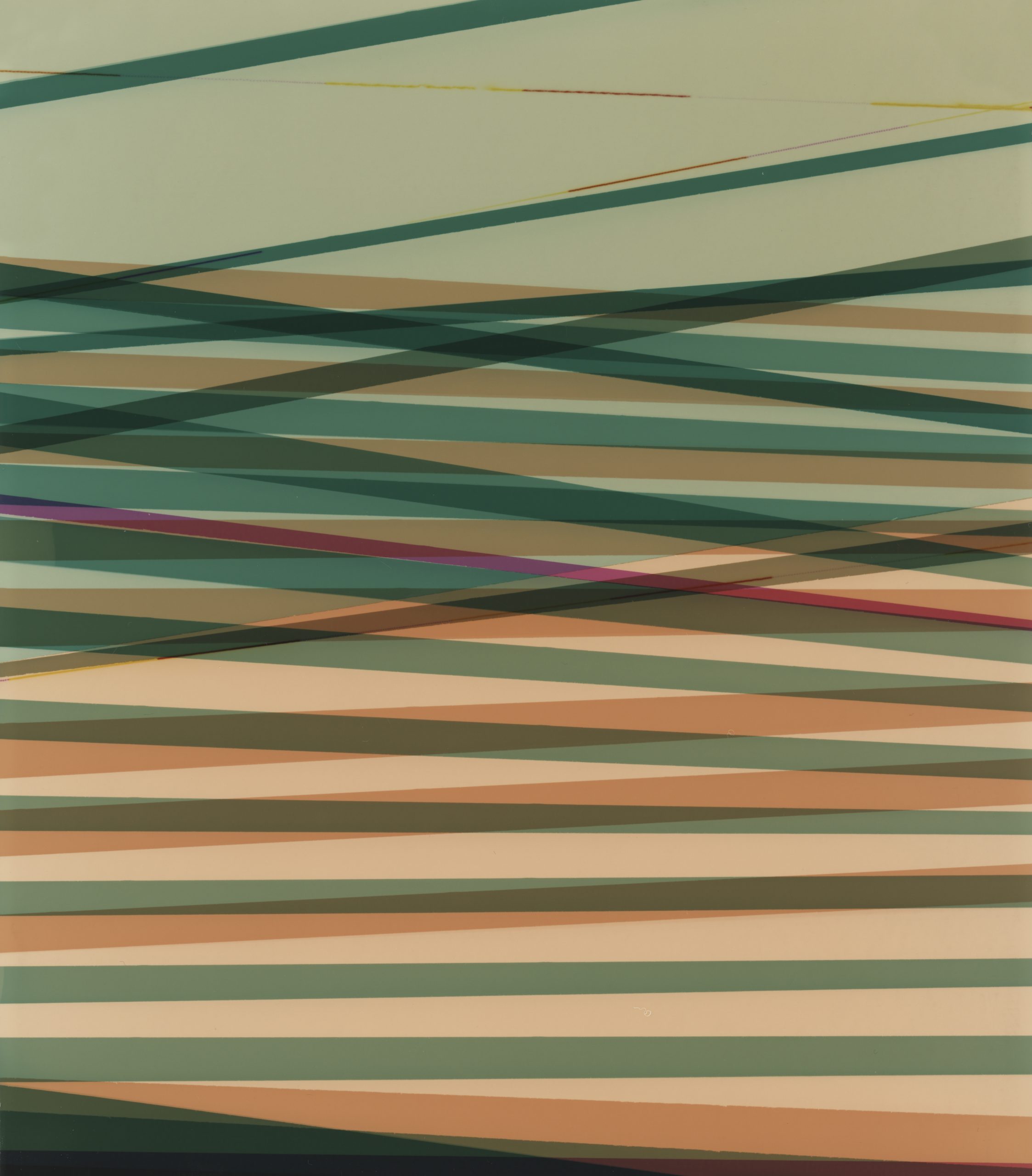
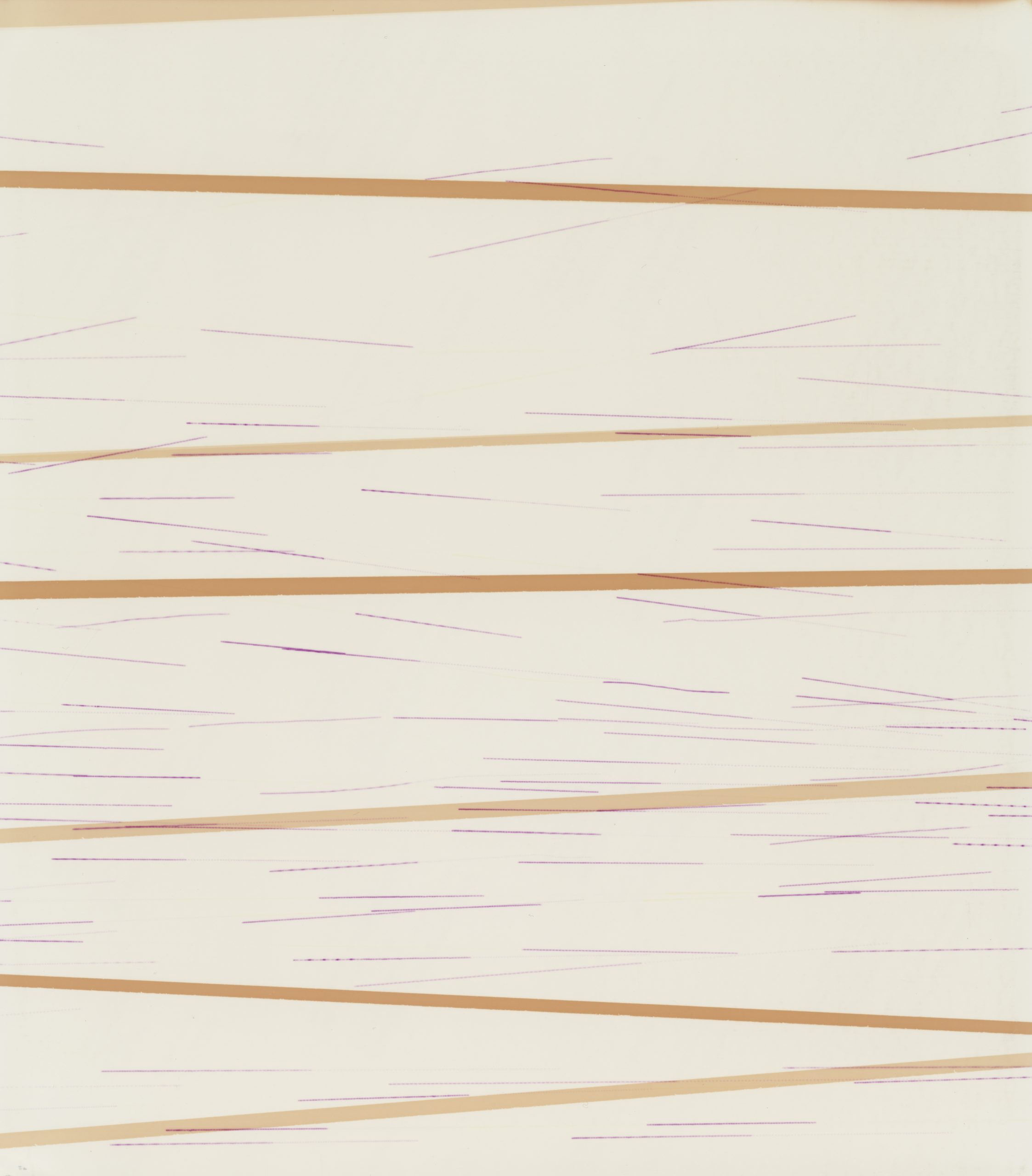
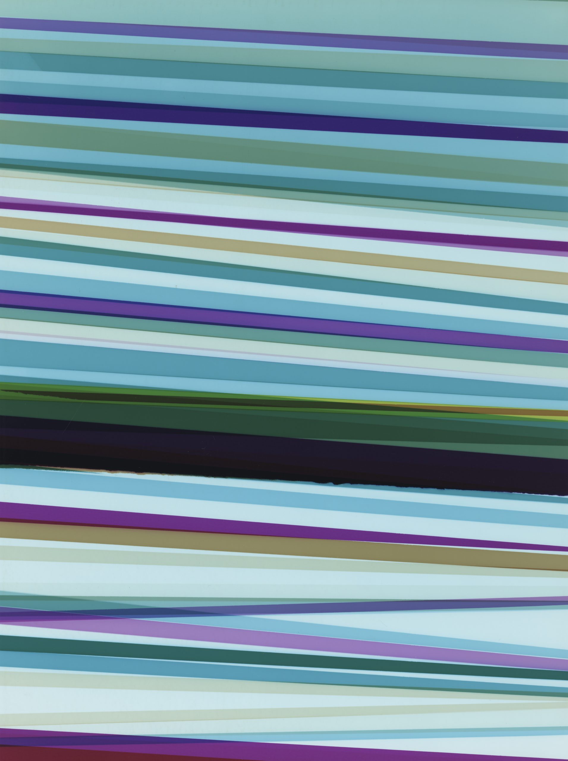
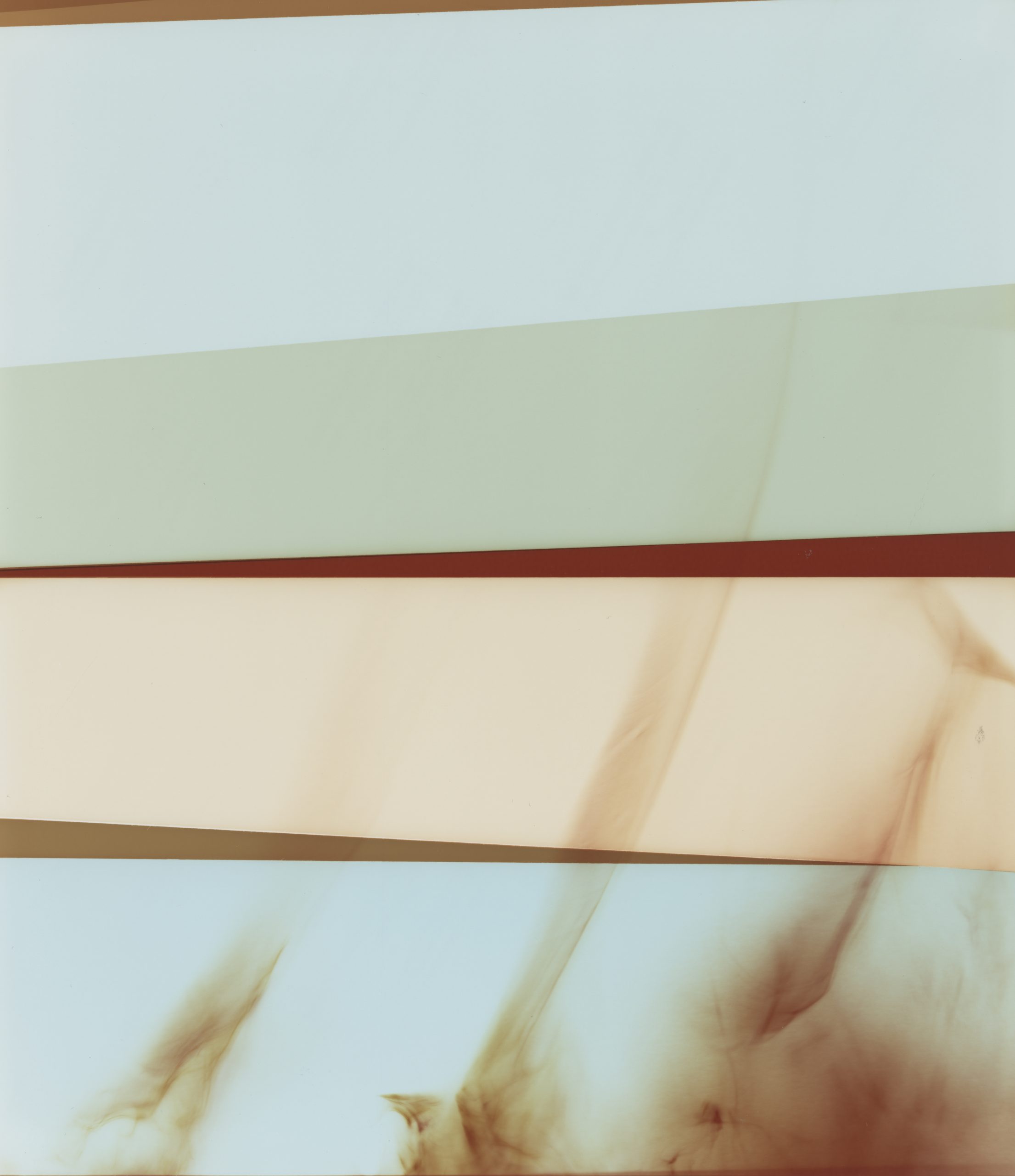
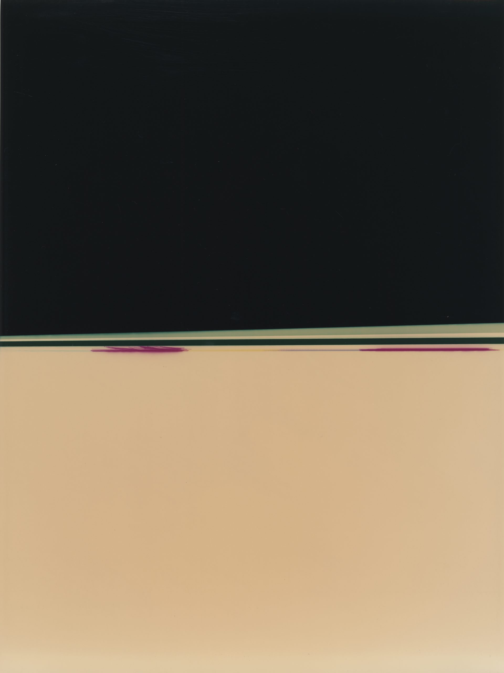
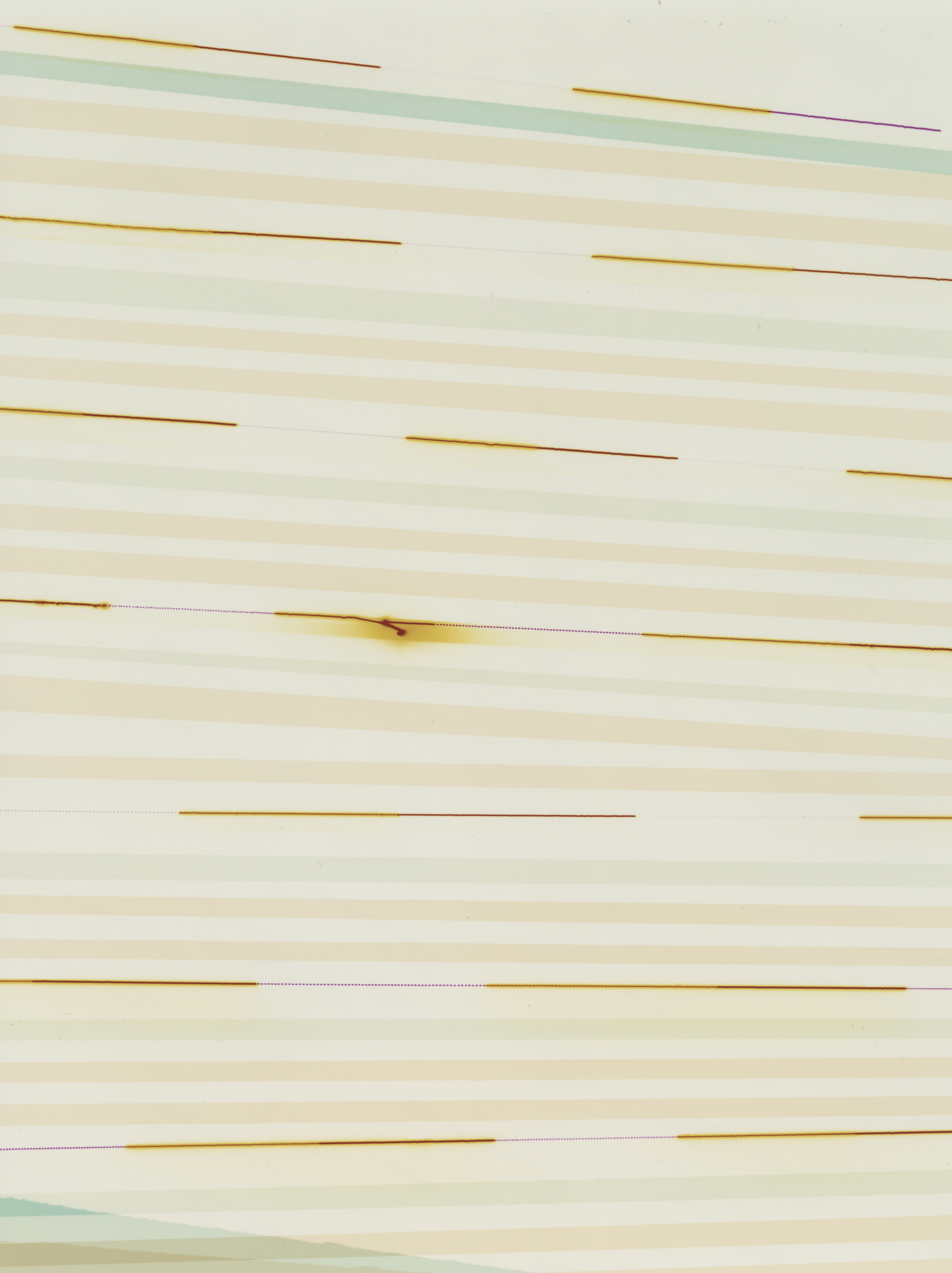
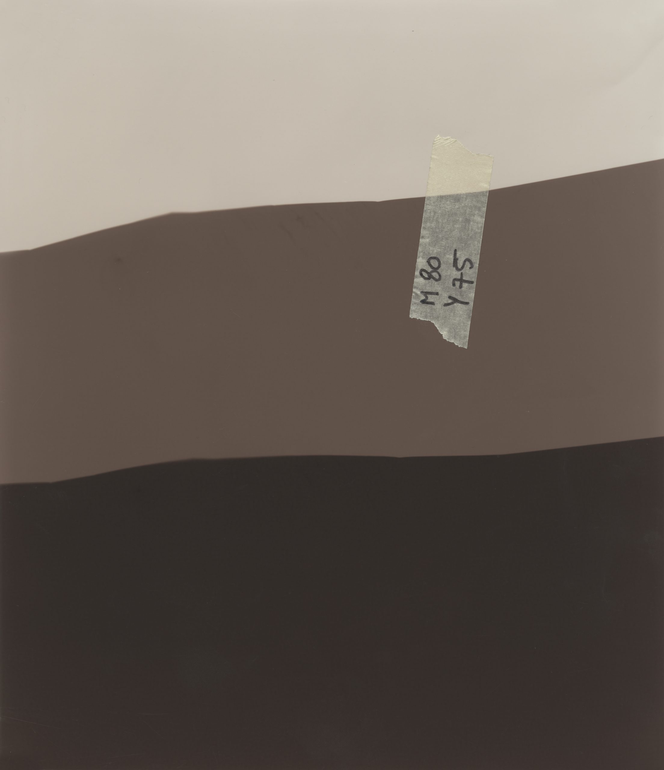
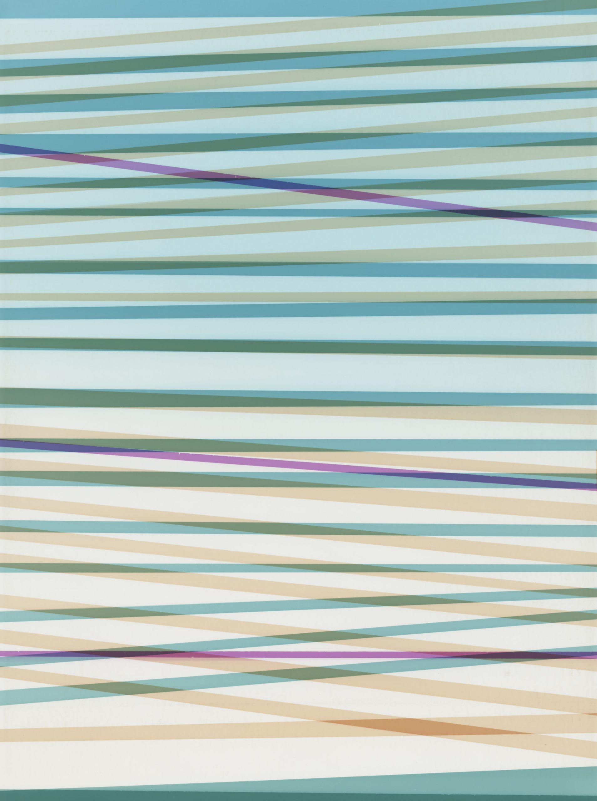
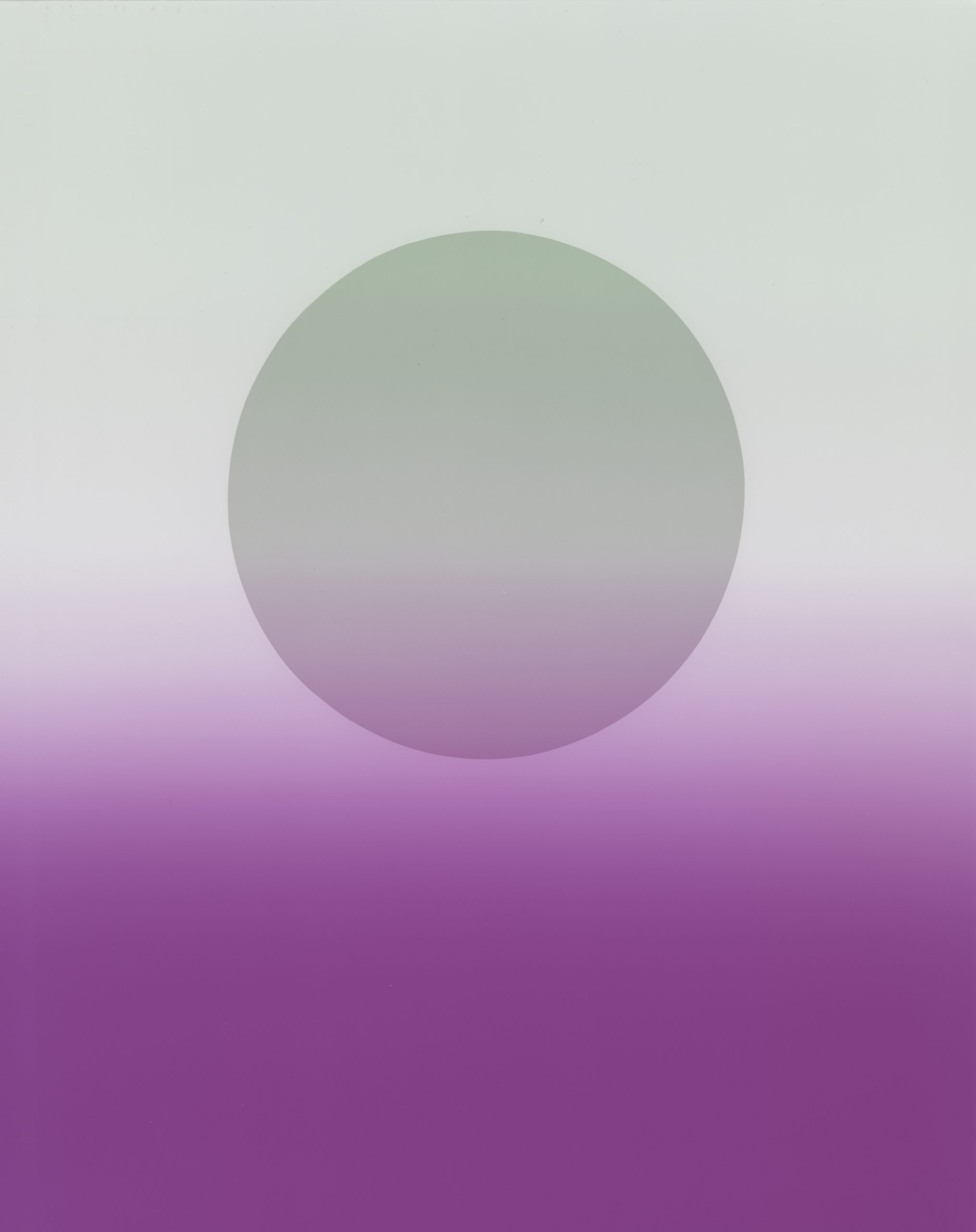
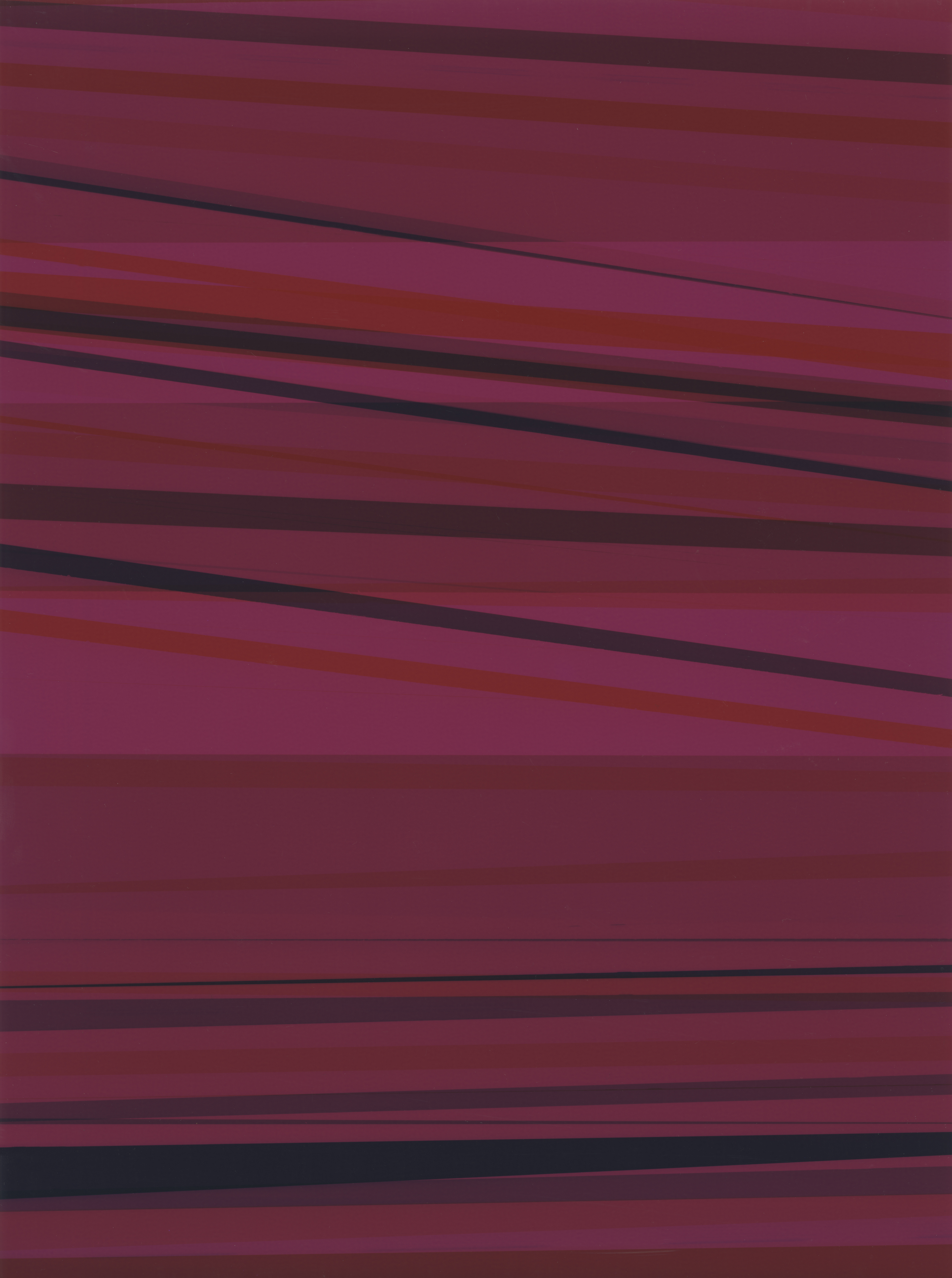
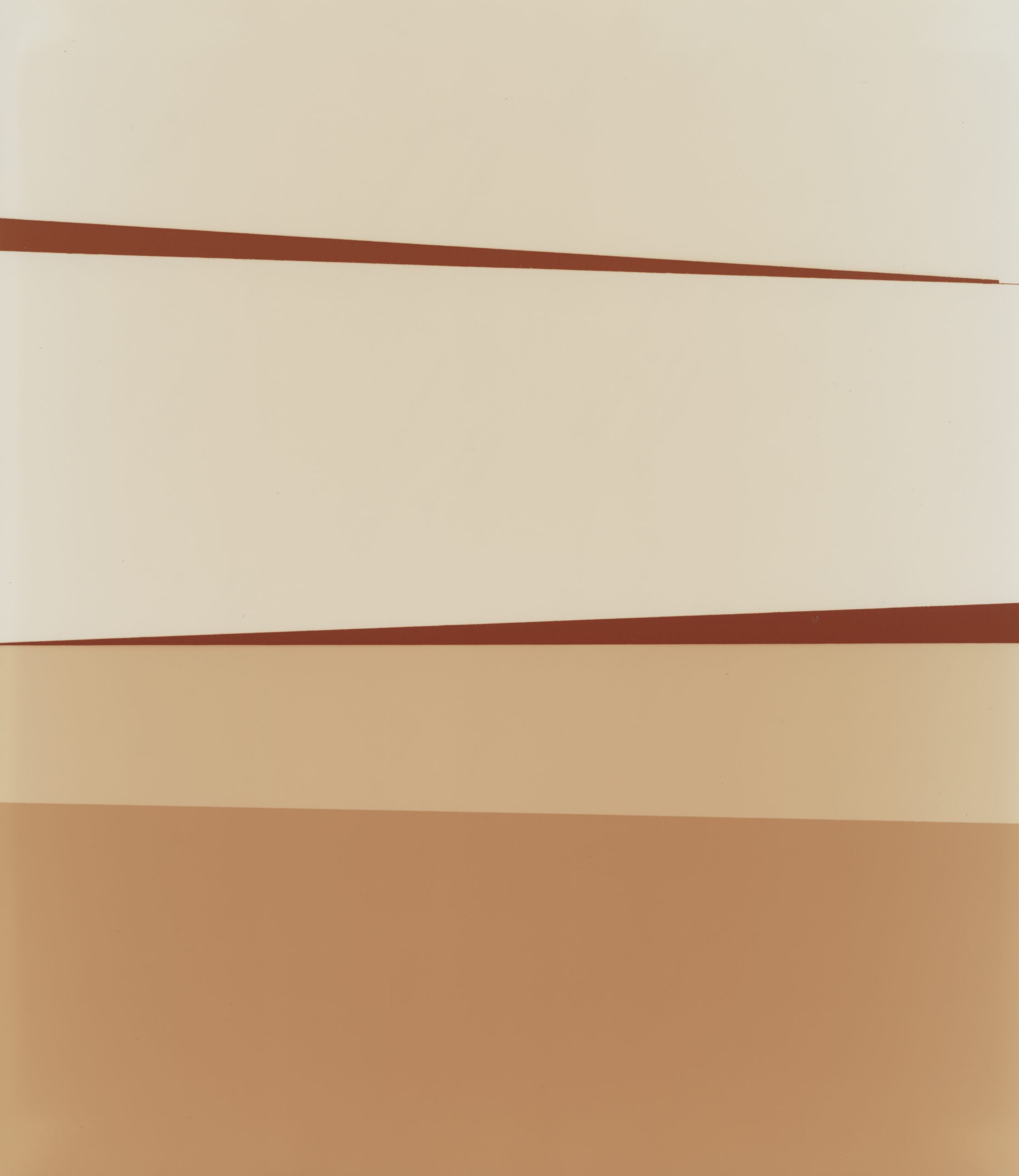
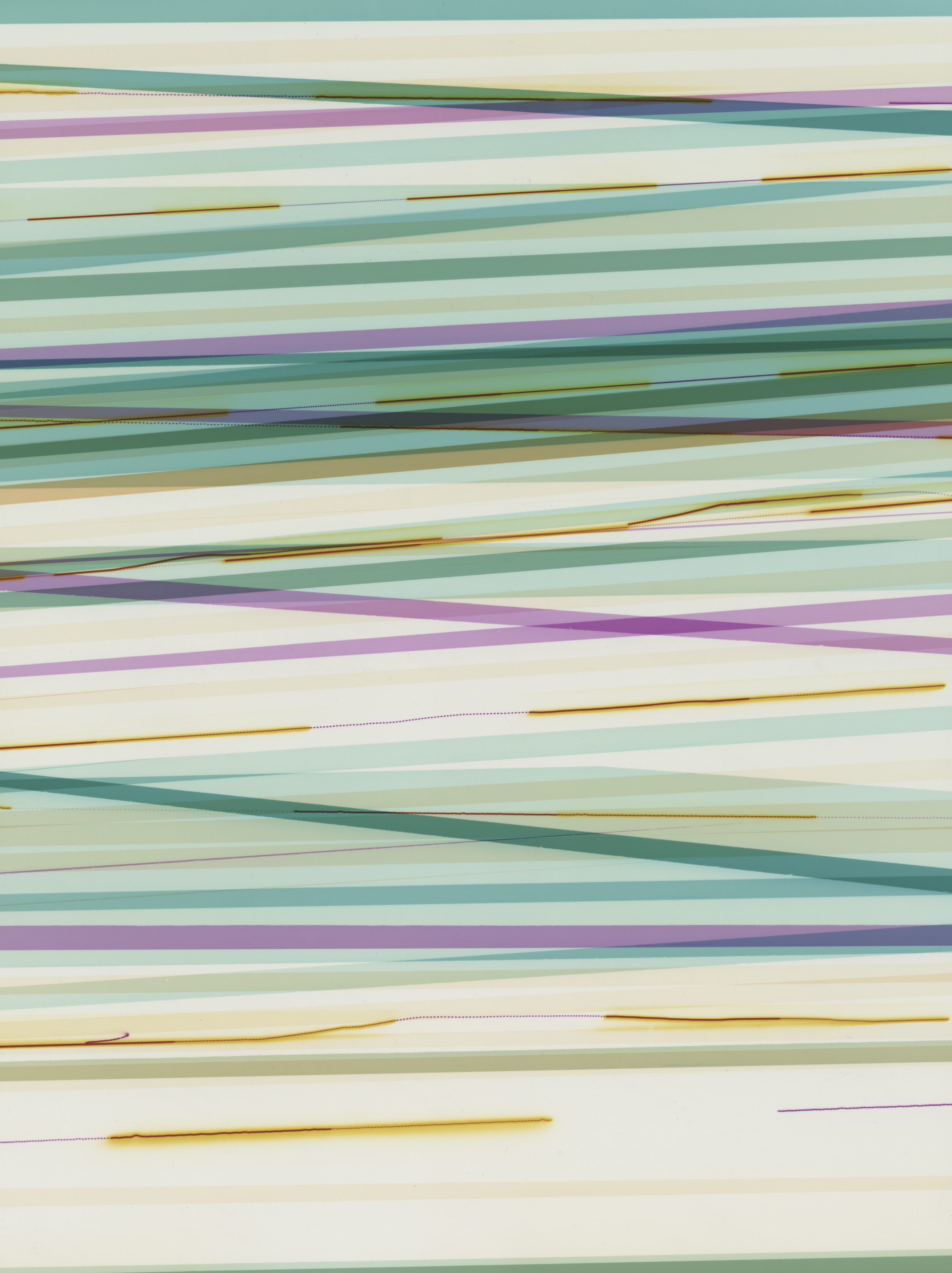
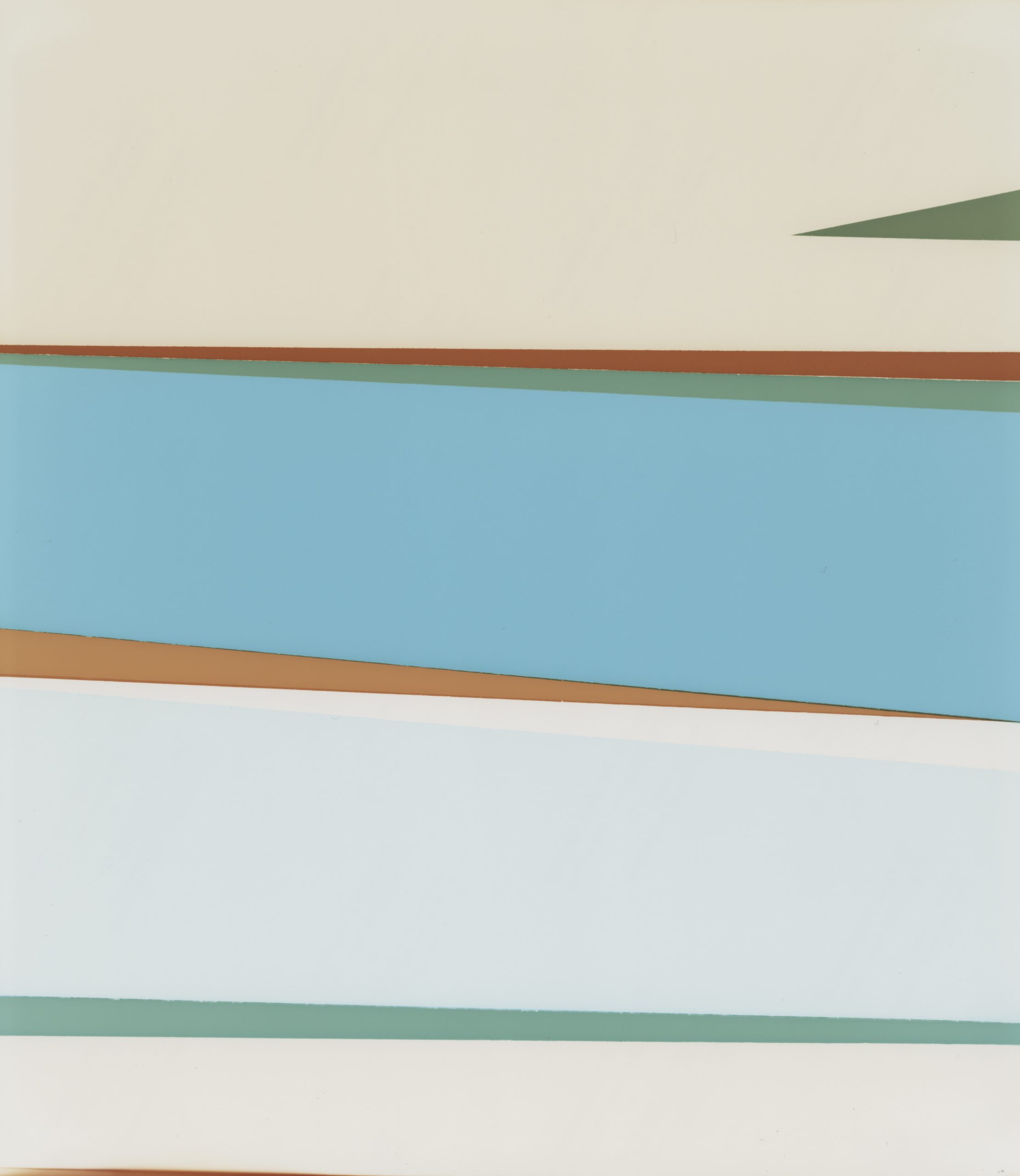
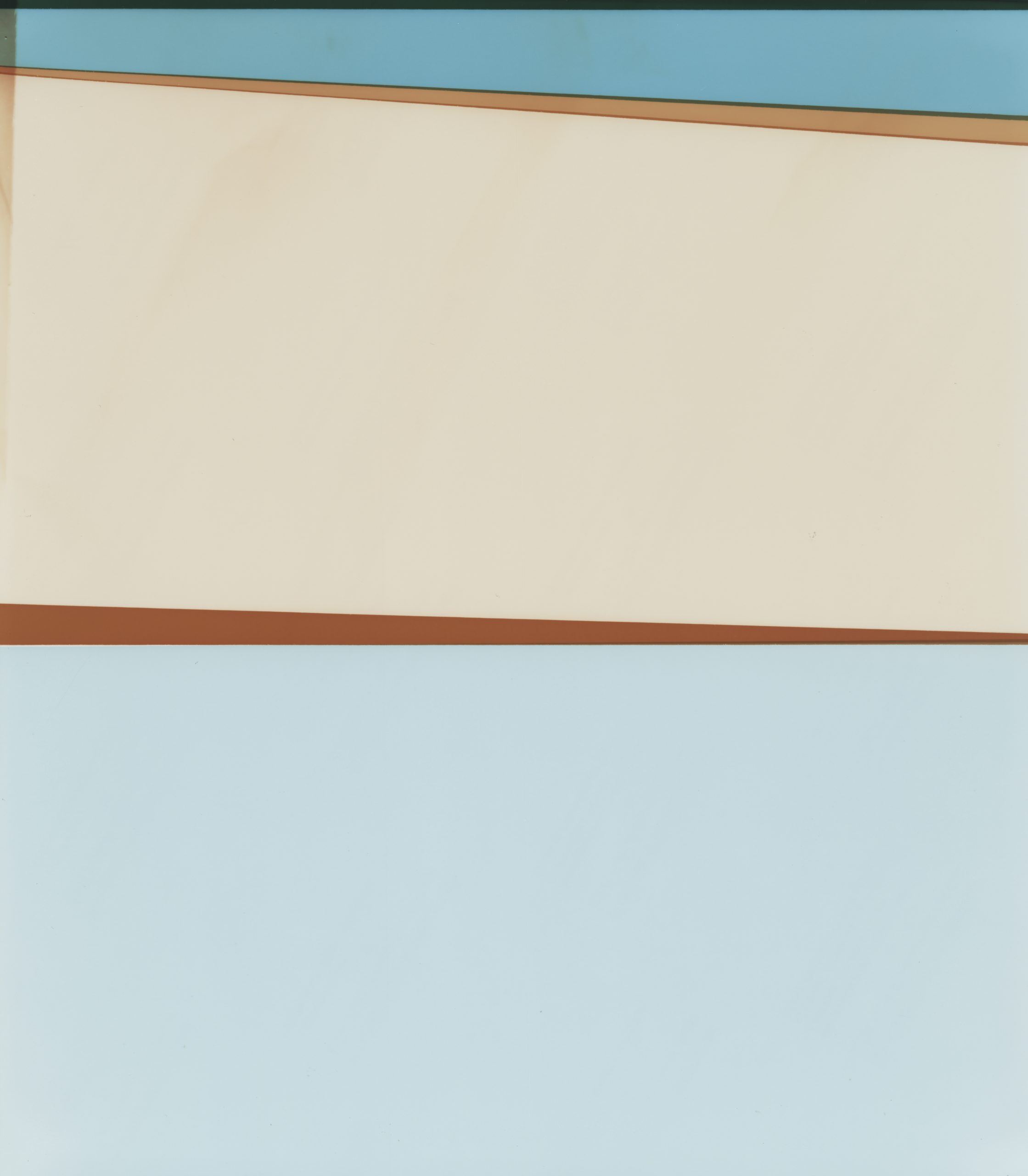
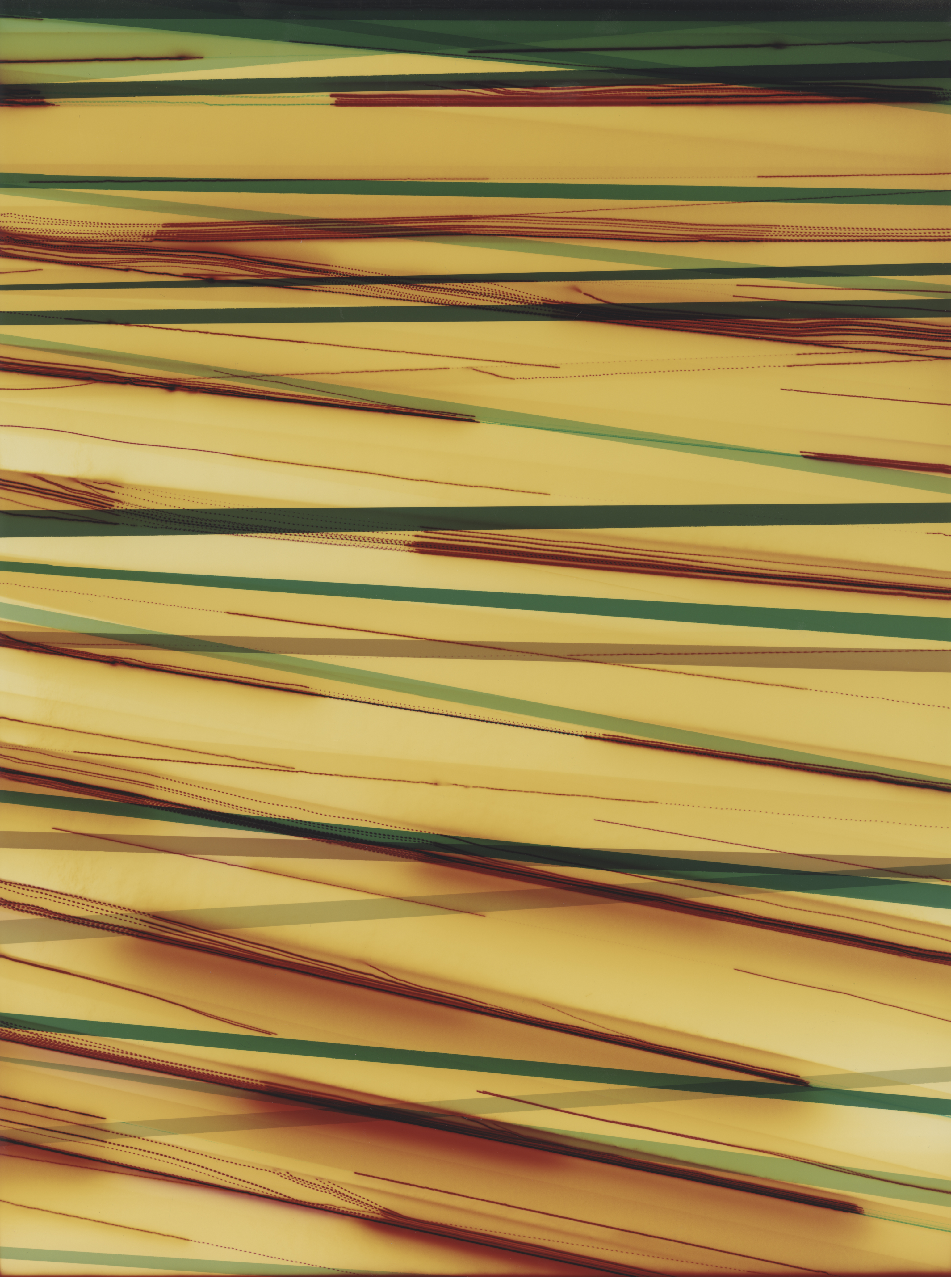
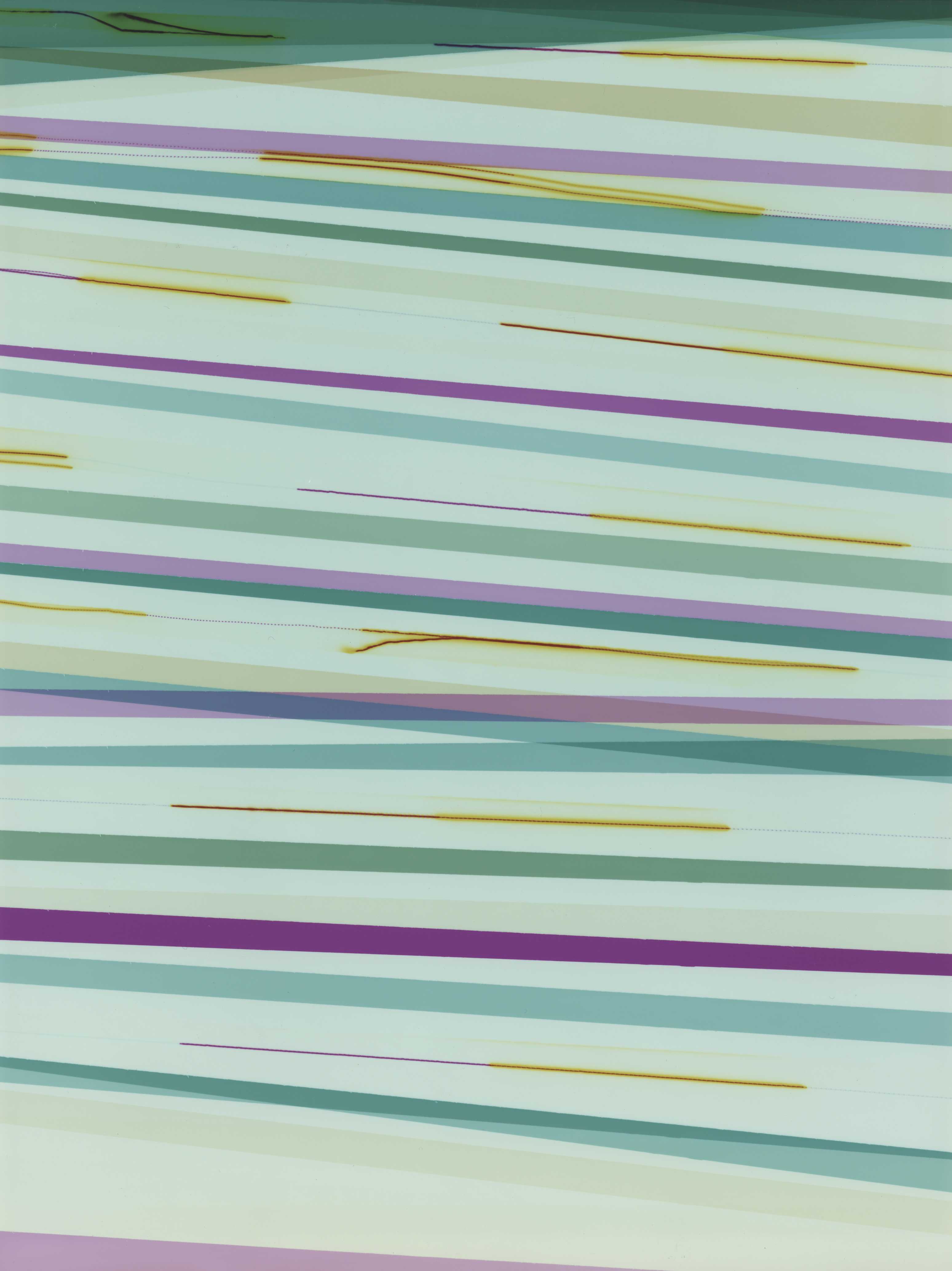
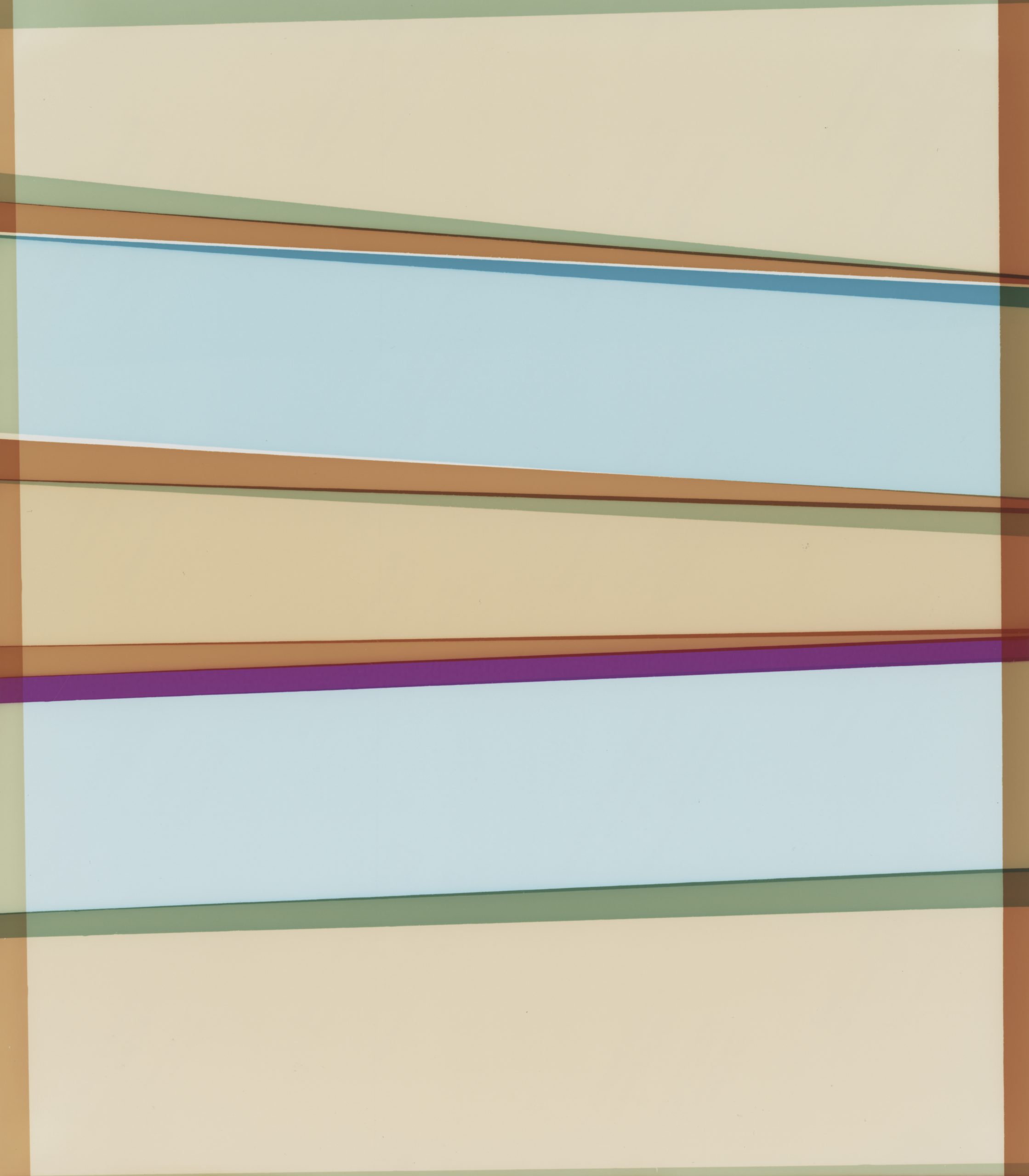
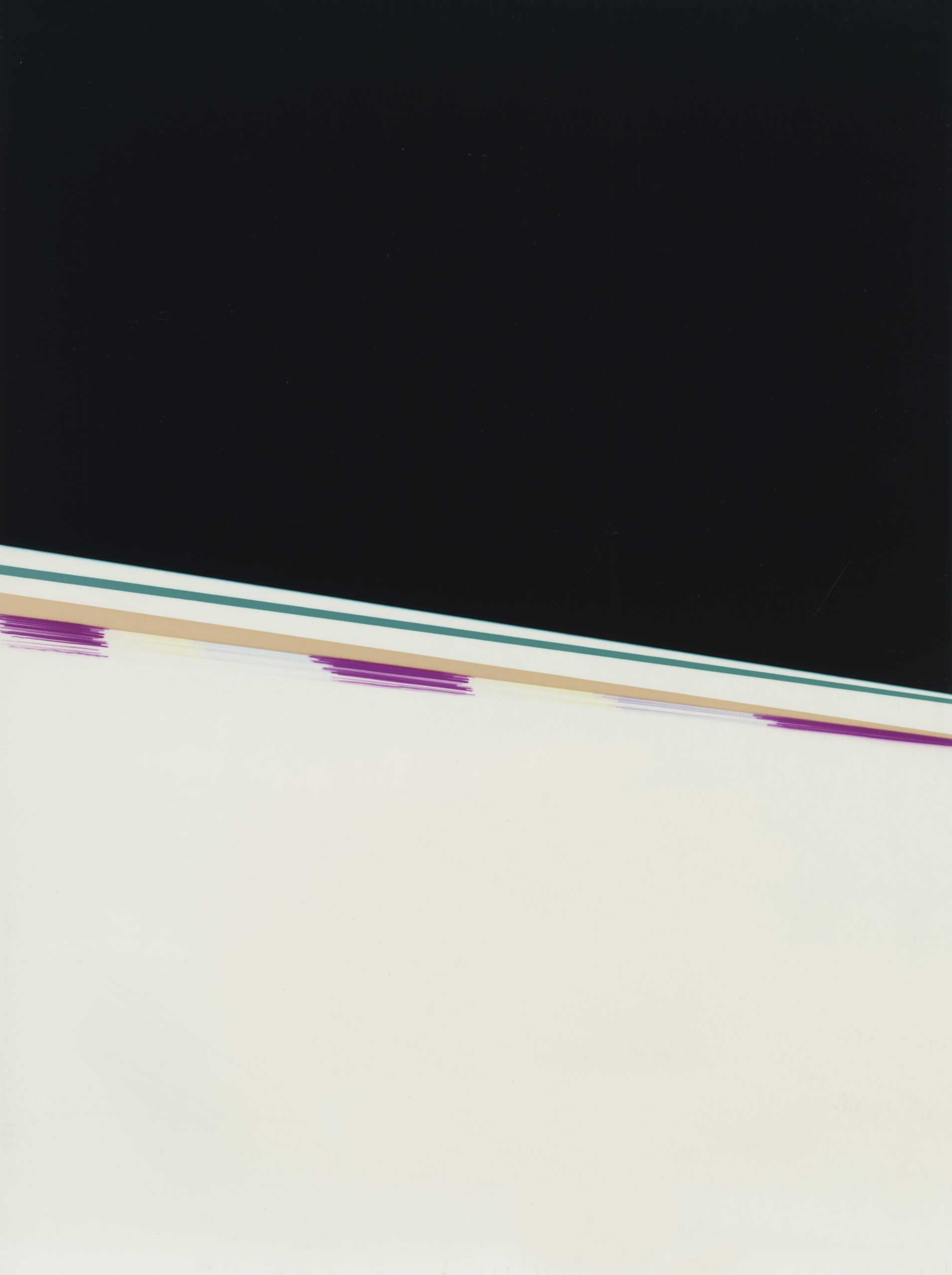
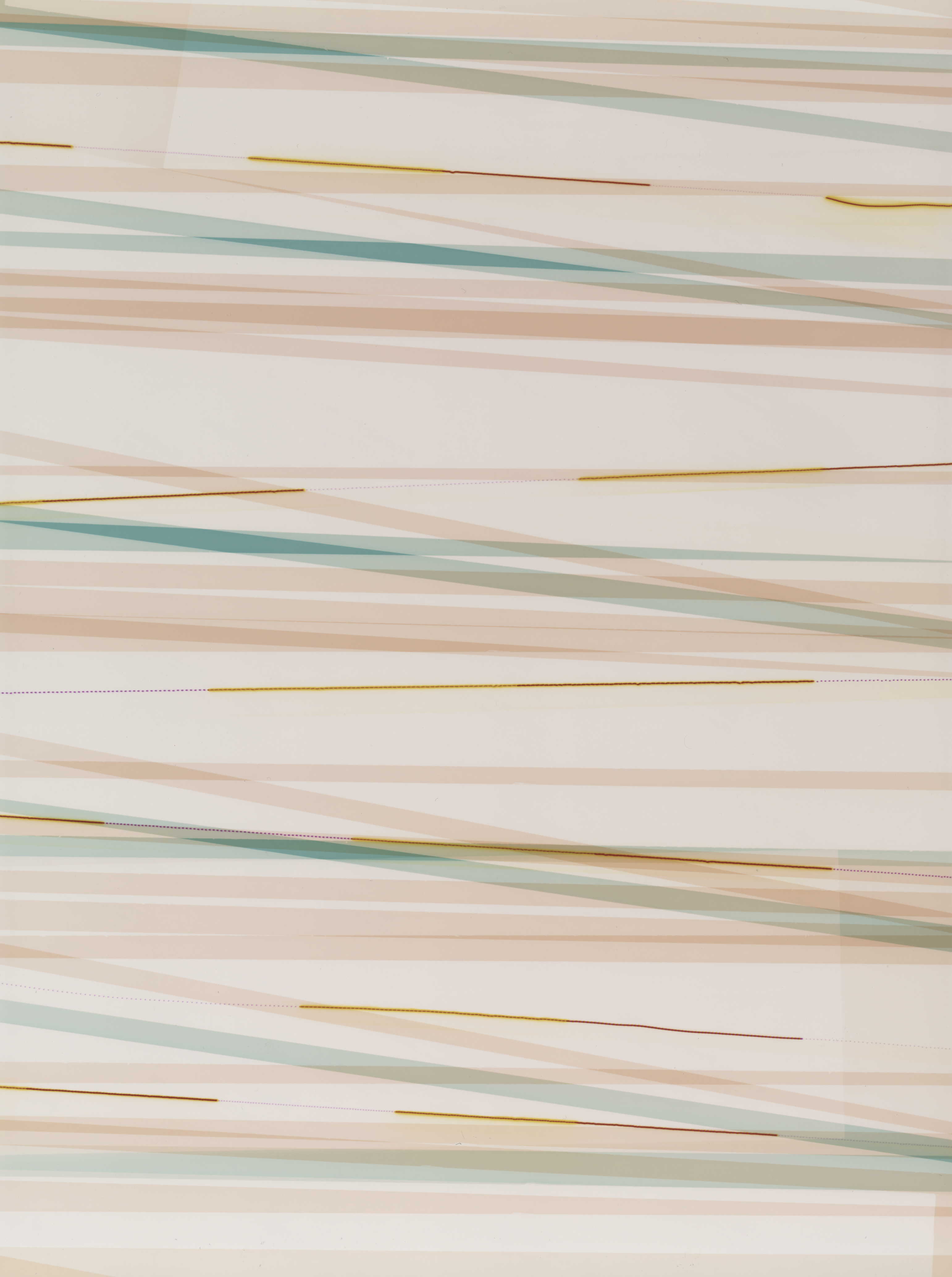
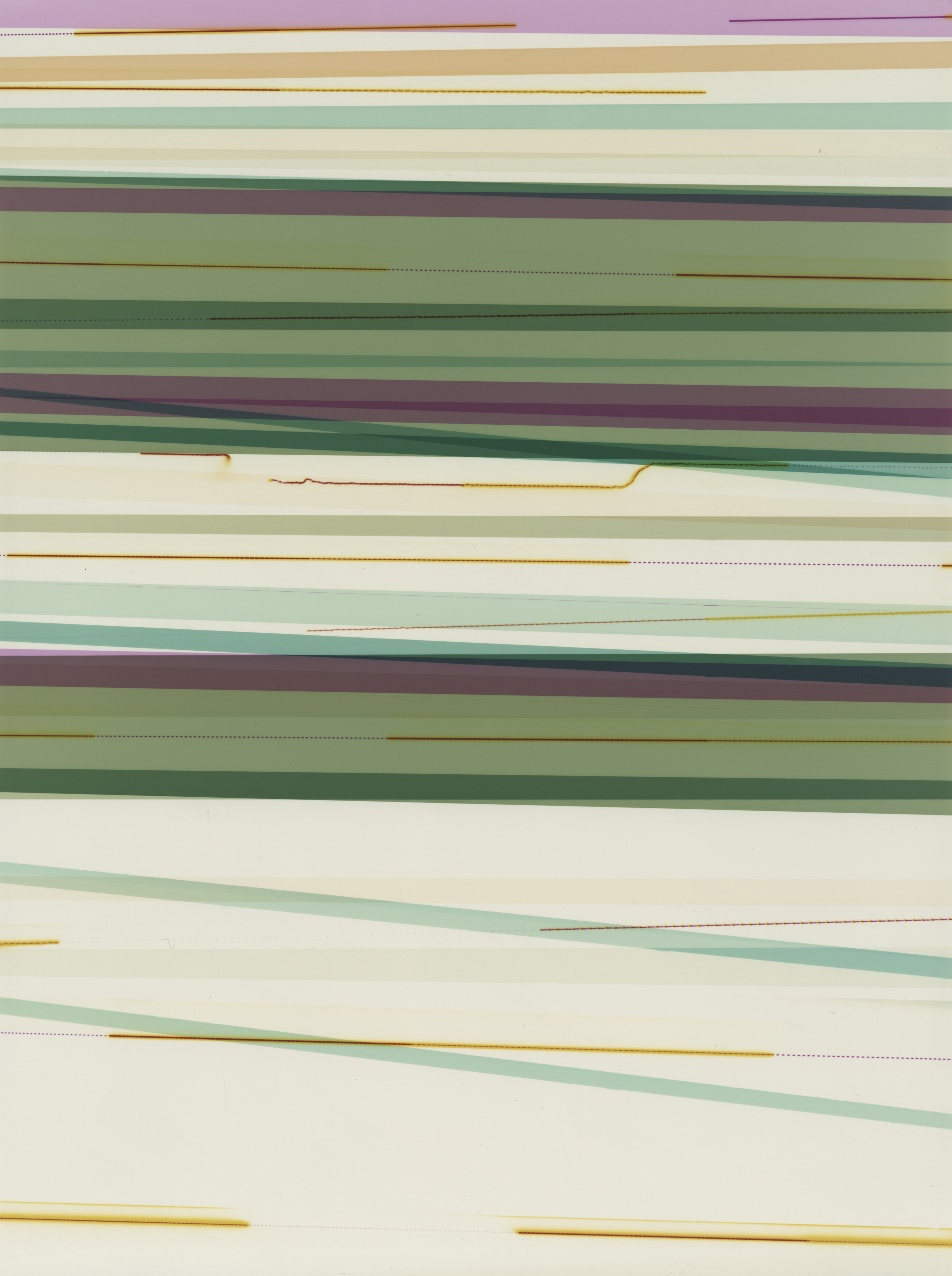
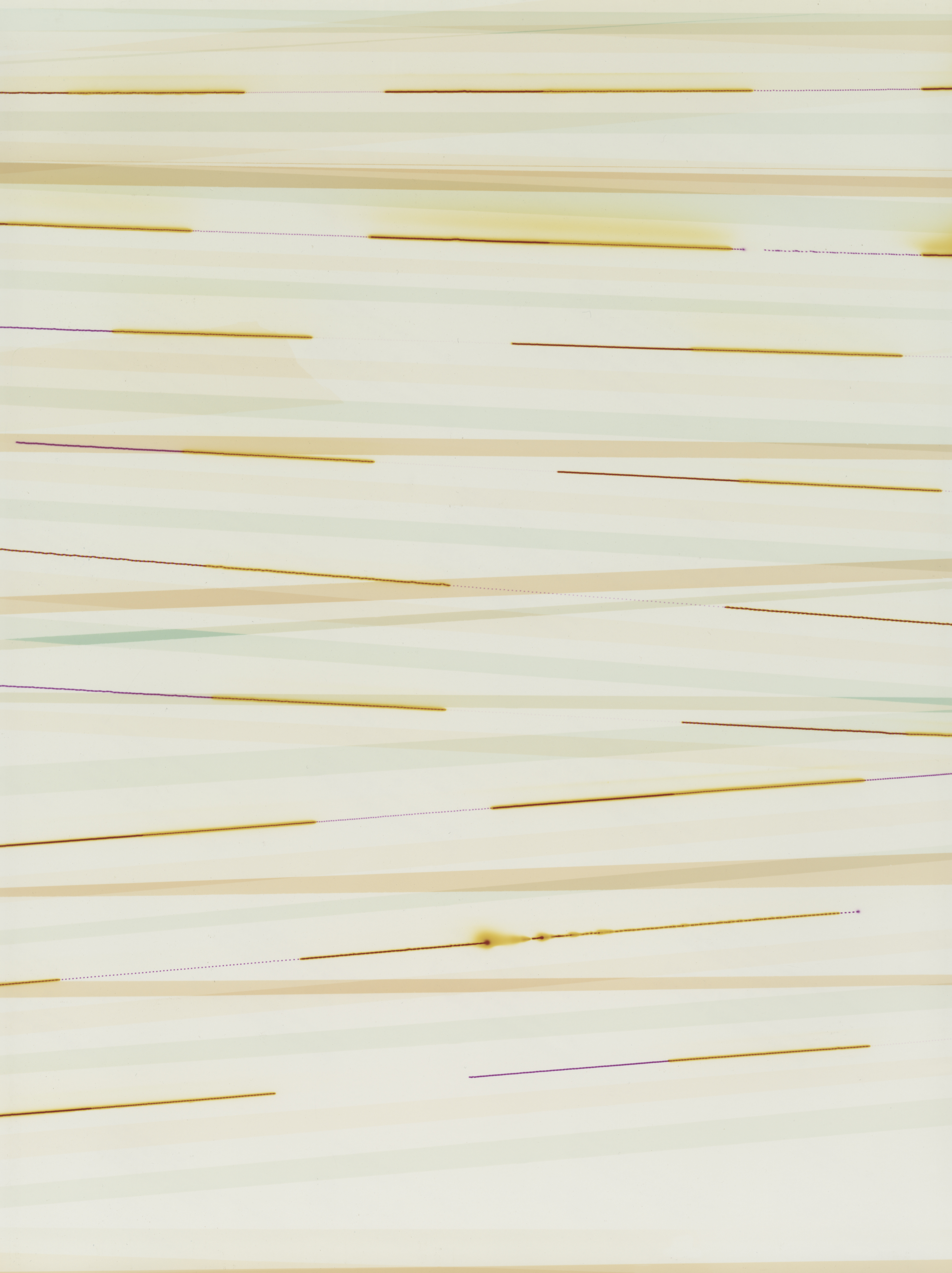
The works were produced by exposing photosensitive paper to varying light sources, patterns, and wavelengths. Their colours are not chosen but calculated: GPS coordinates associated with sites connected to Hammerl’s disappearance are converted directly into the filtration values — Cyan, Magenta, Yellow — of an analogue colour enlarger. Each line corresponds to either a latitude or a longitude reading; the colour of the first line is derived from the latitude, the second from the longitude. In this way, a coordinate such as 32° 54′ 4.79″ N (Tripoli) becomes 32 Cyan, 54 Magenta, and 4.79 Yellow — location rendered as light, geography as chromatic frequency. The weight and orientation of each line reflects the relative significance of each site to the investigation into Hammerl’s disappearance. Every rip or overlap marks a dead end. Every vertical line, a milestone.
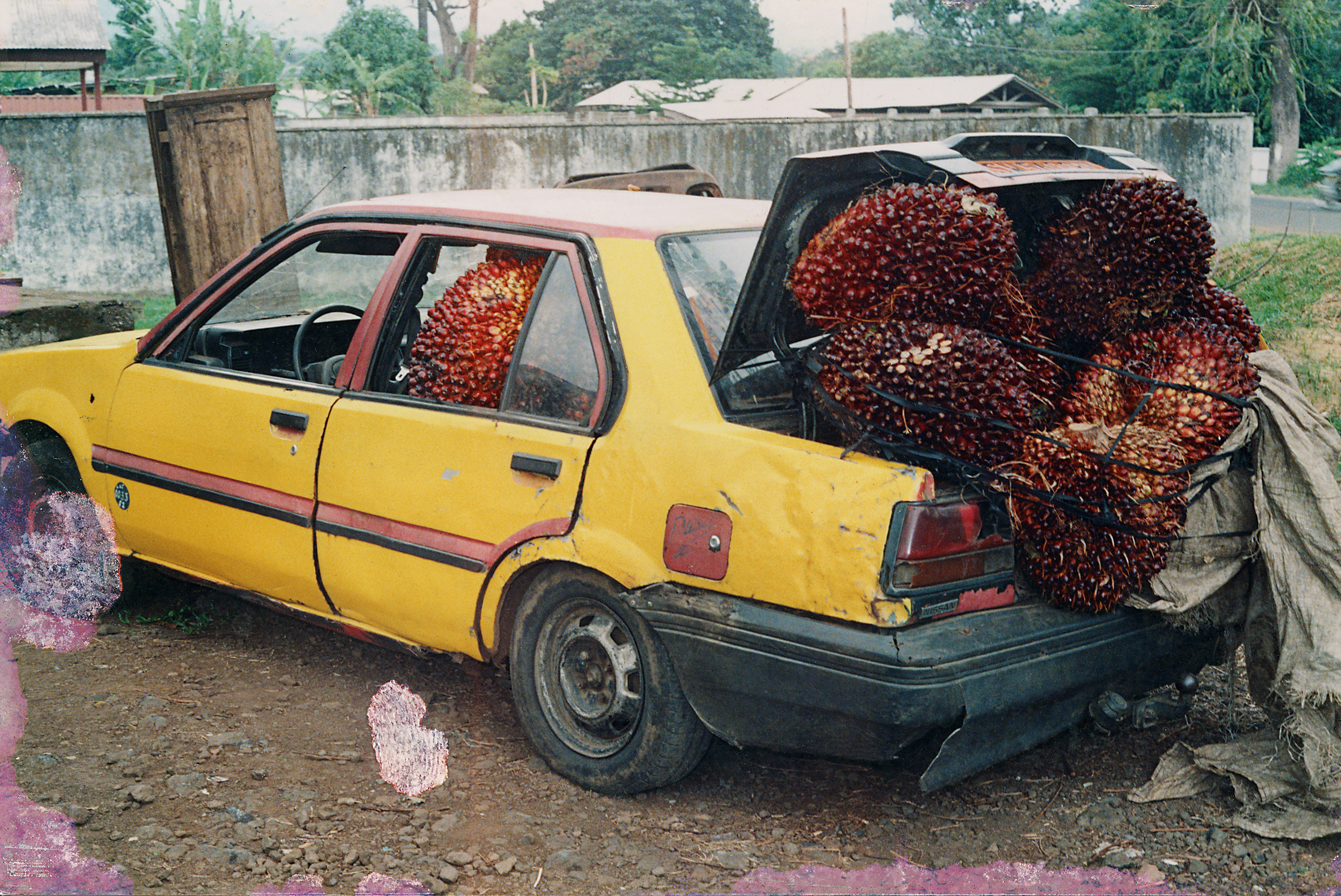
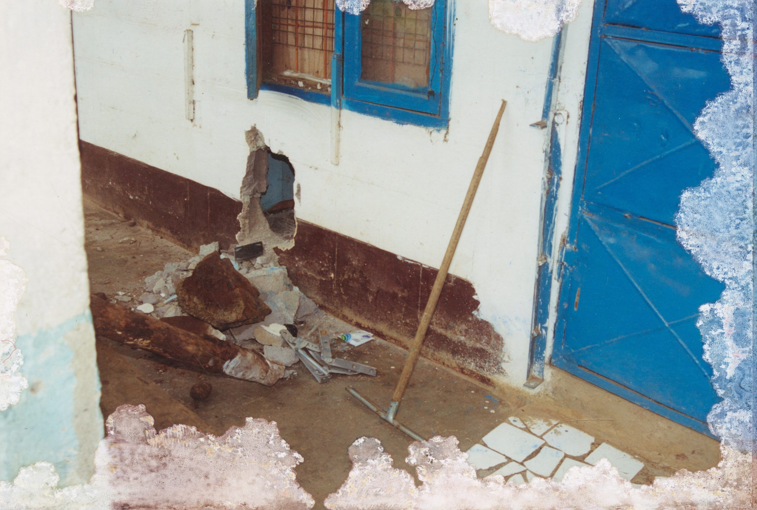
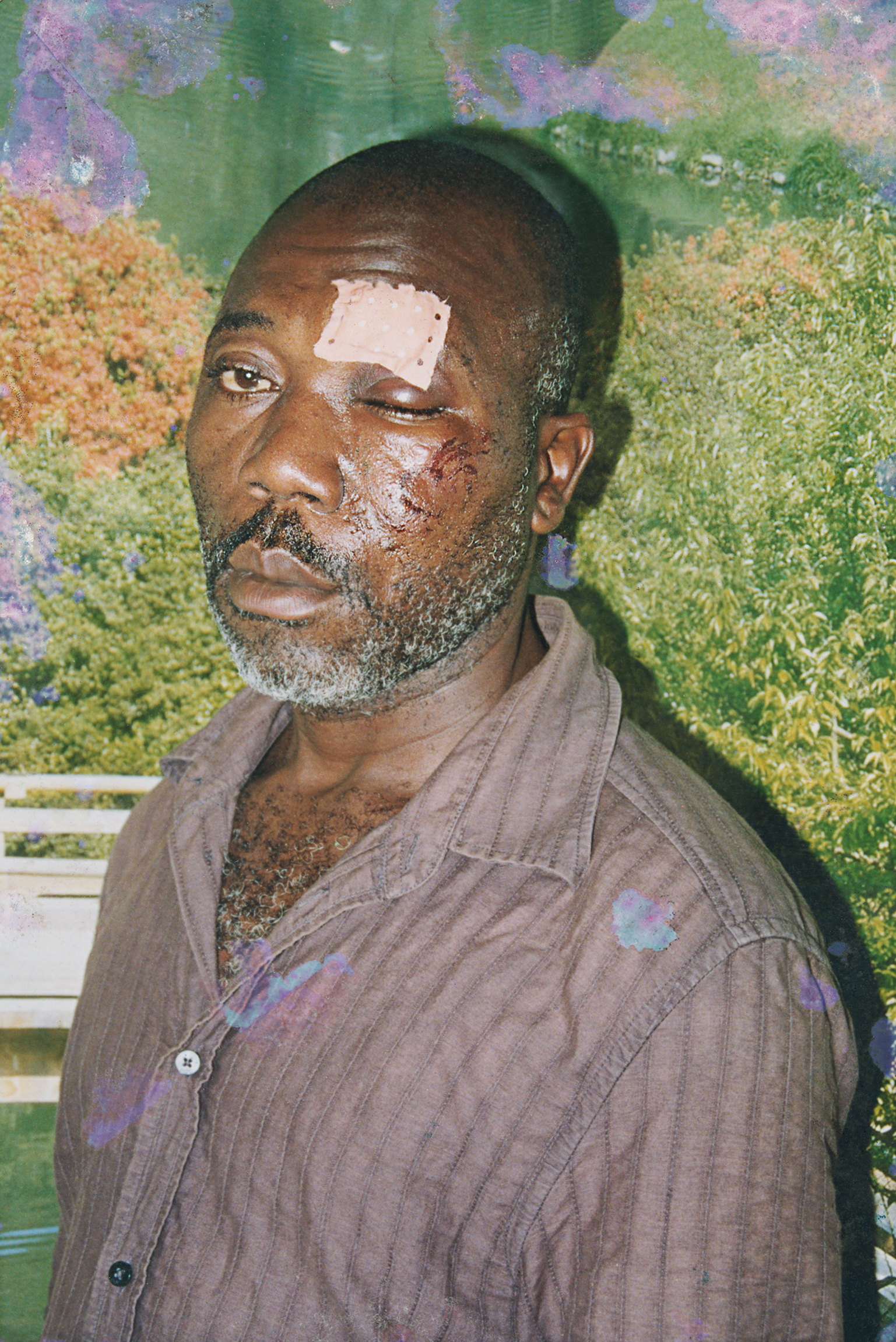
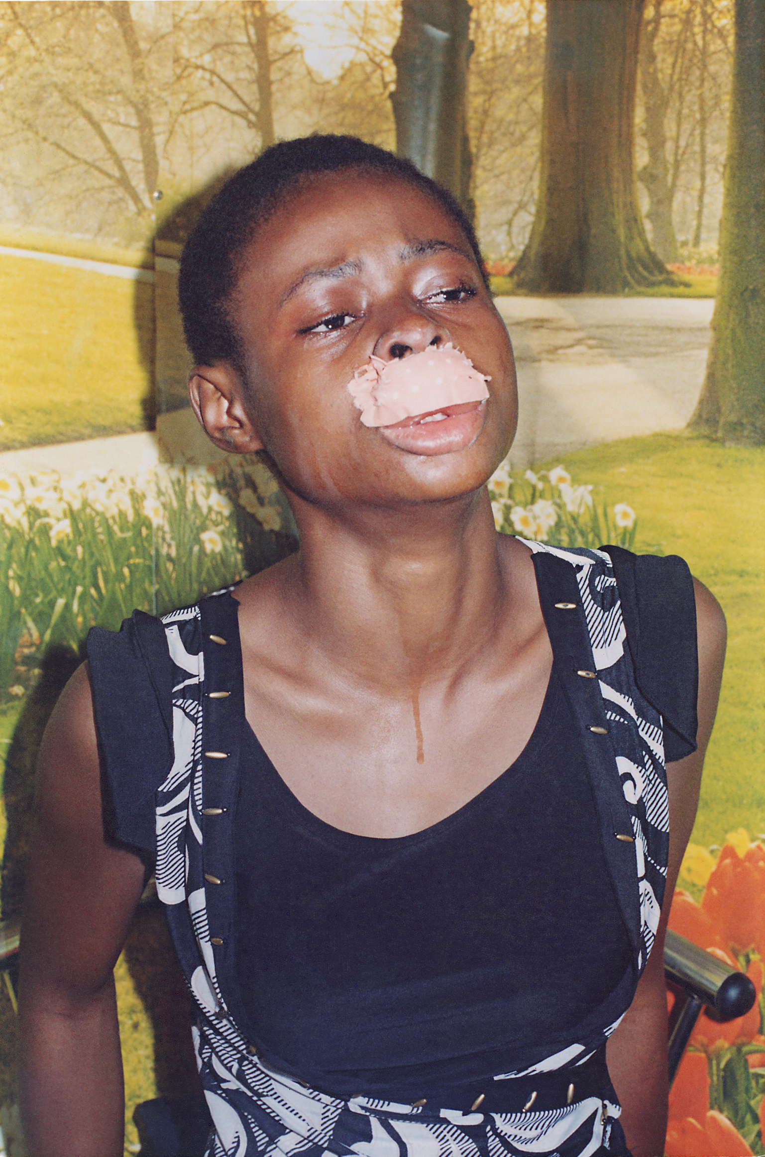
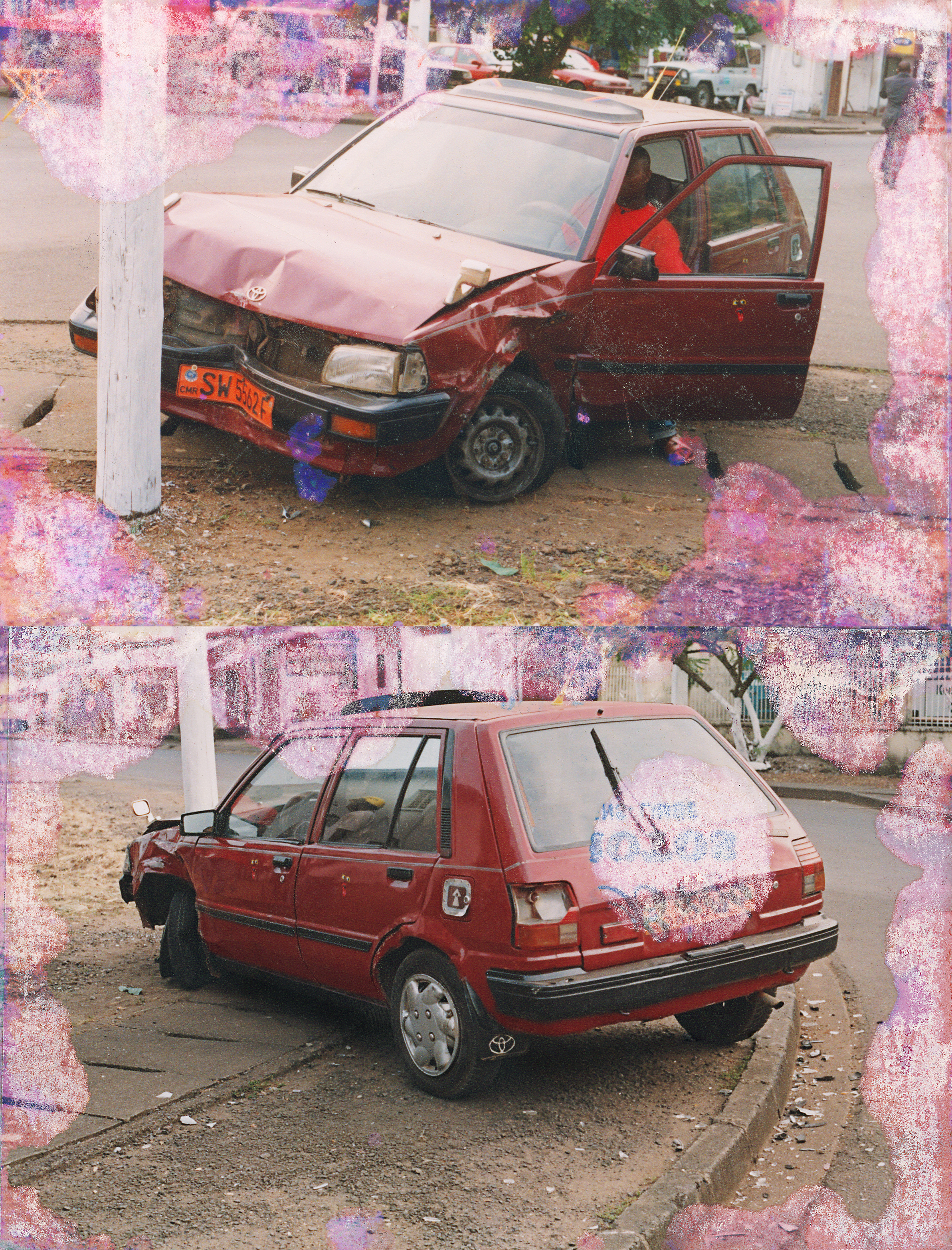
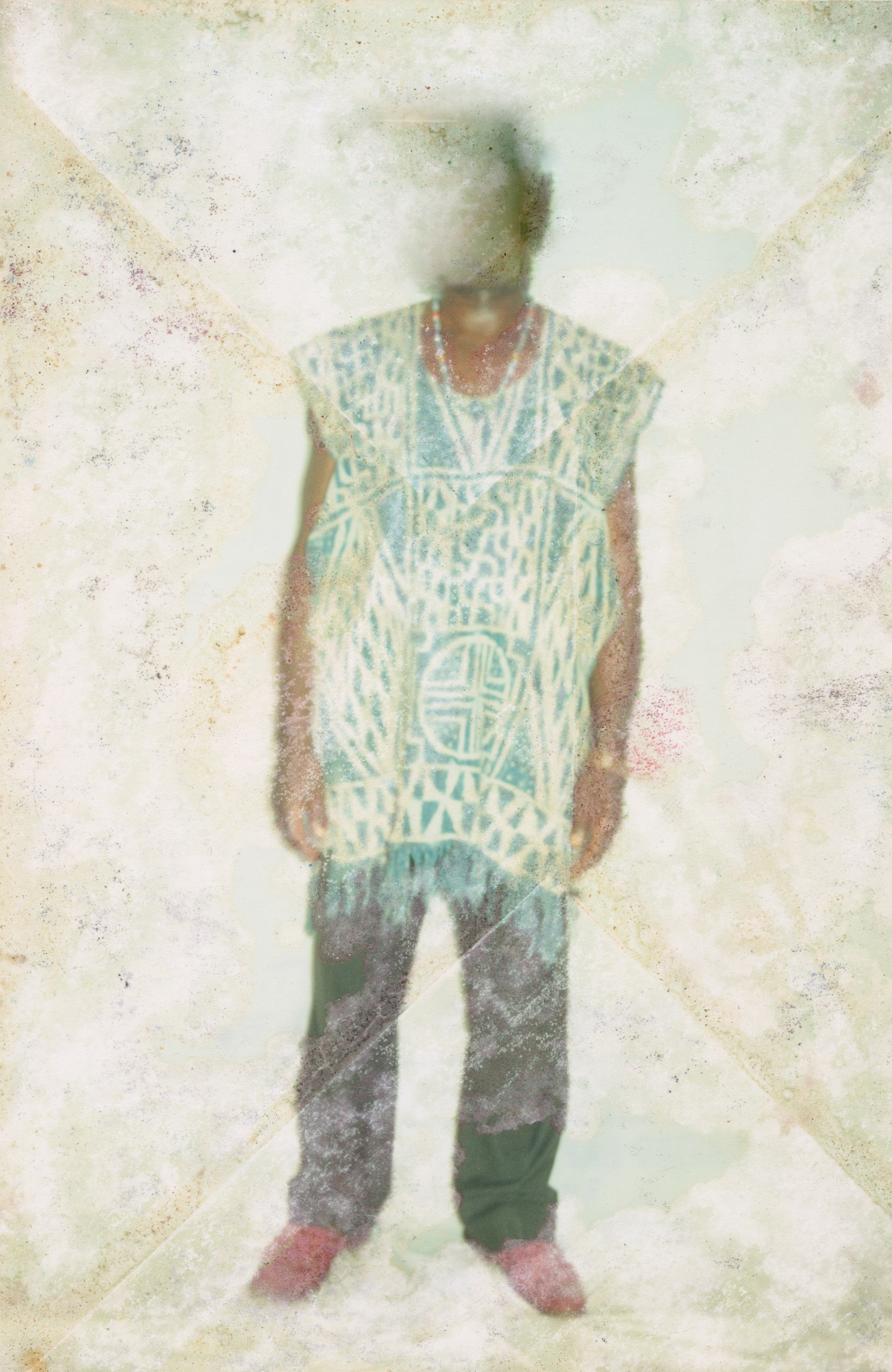
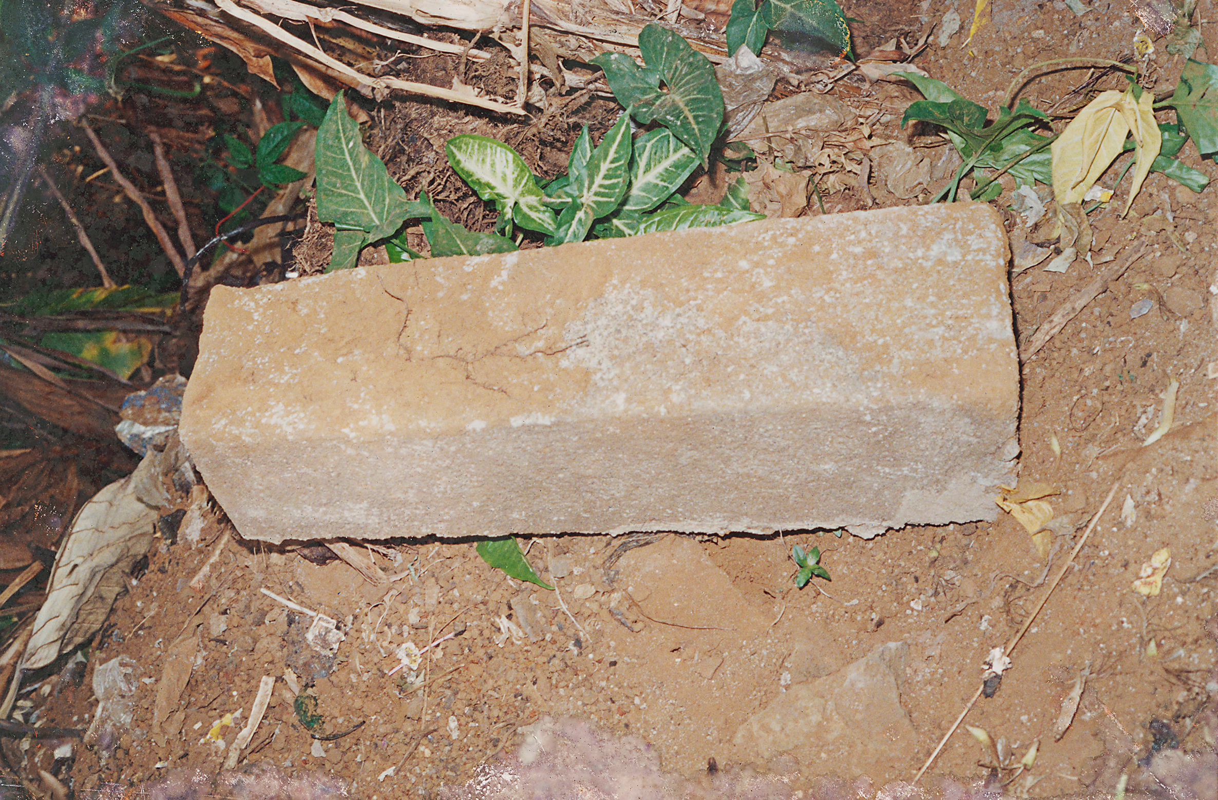
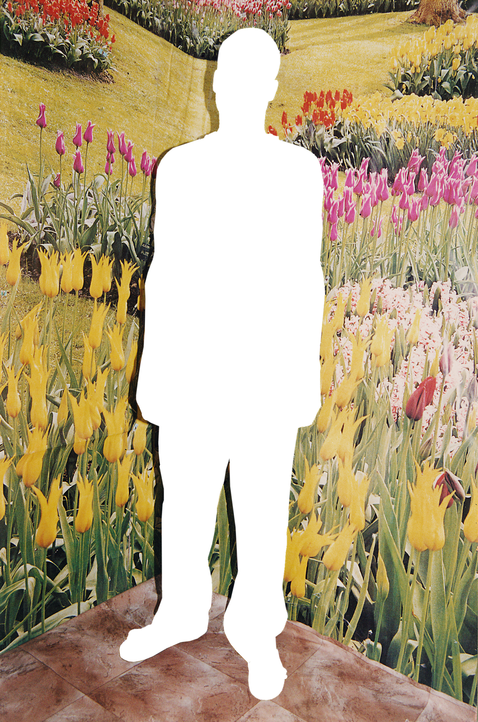
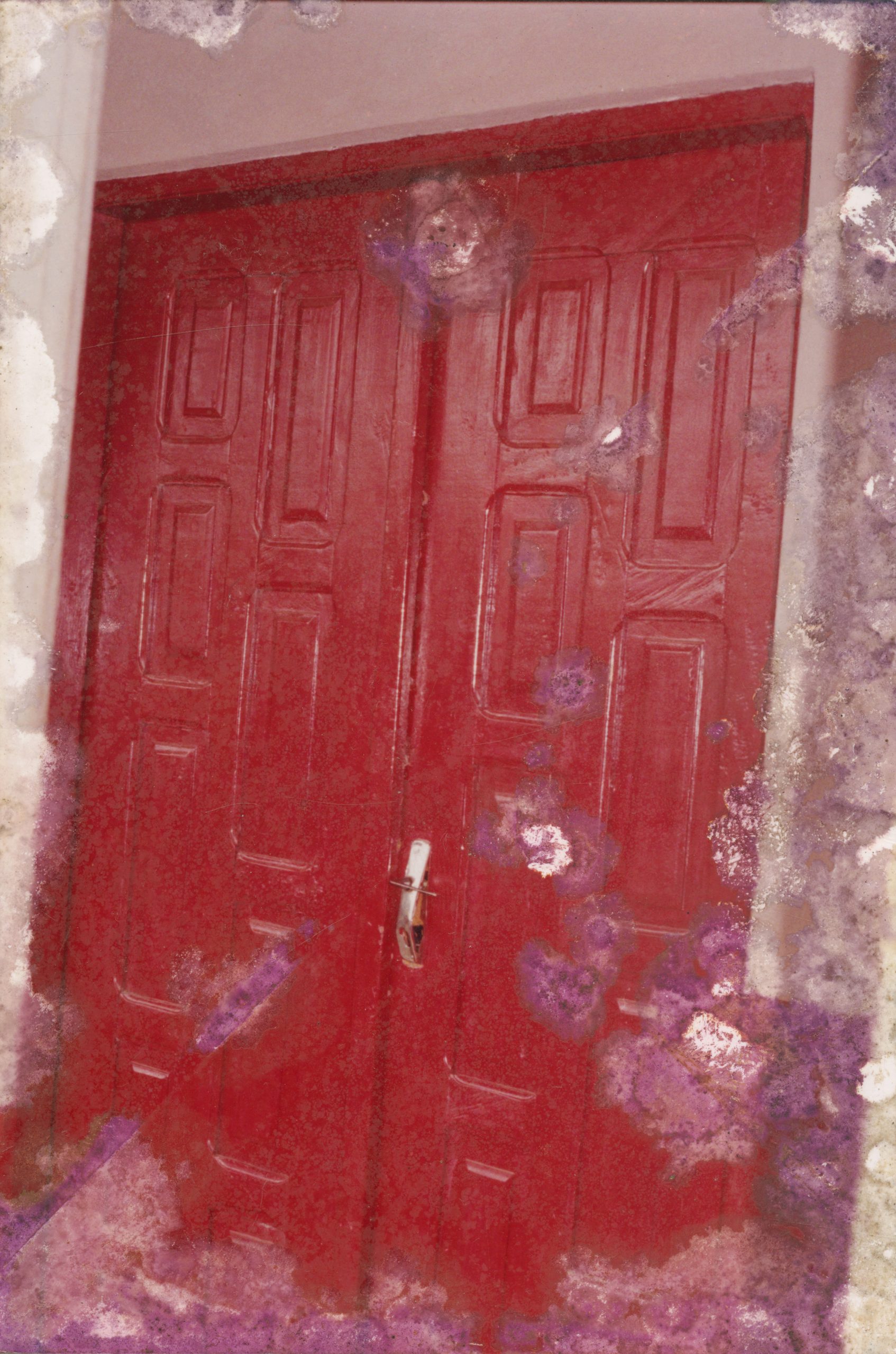
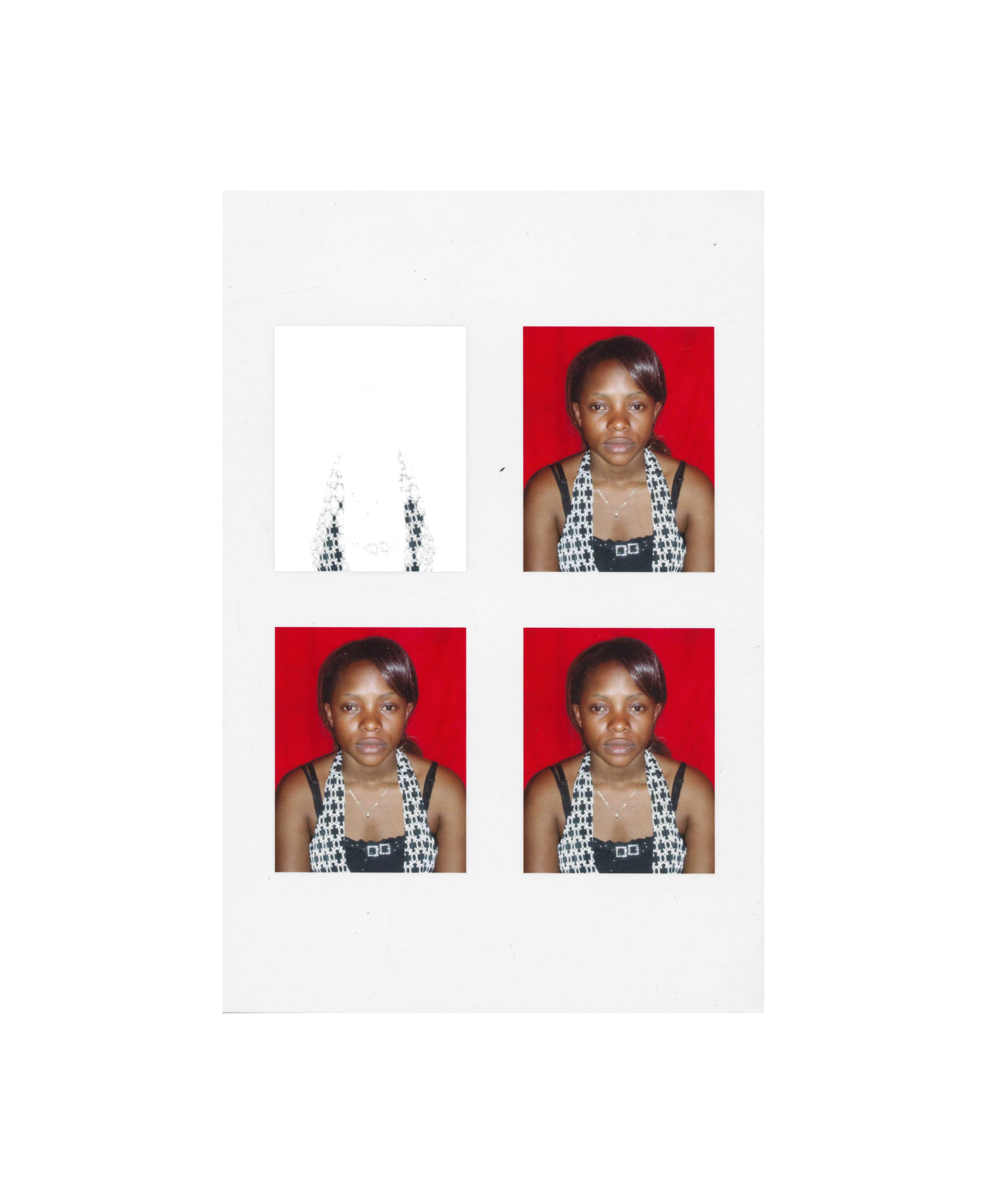
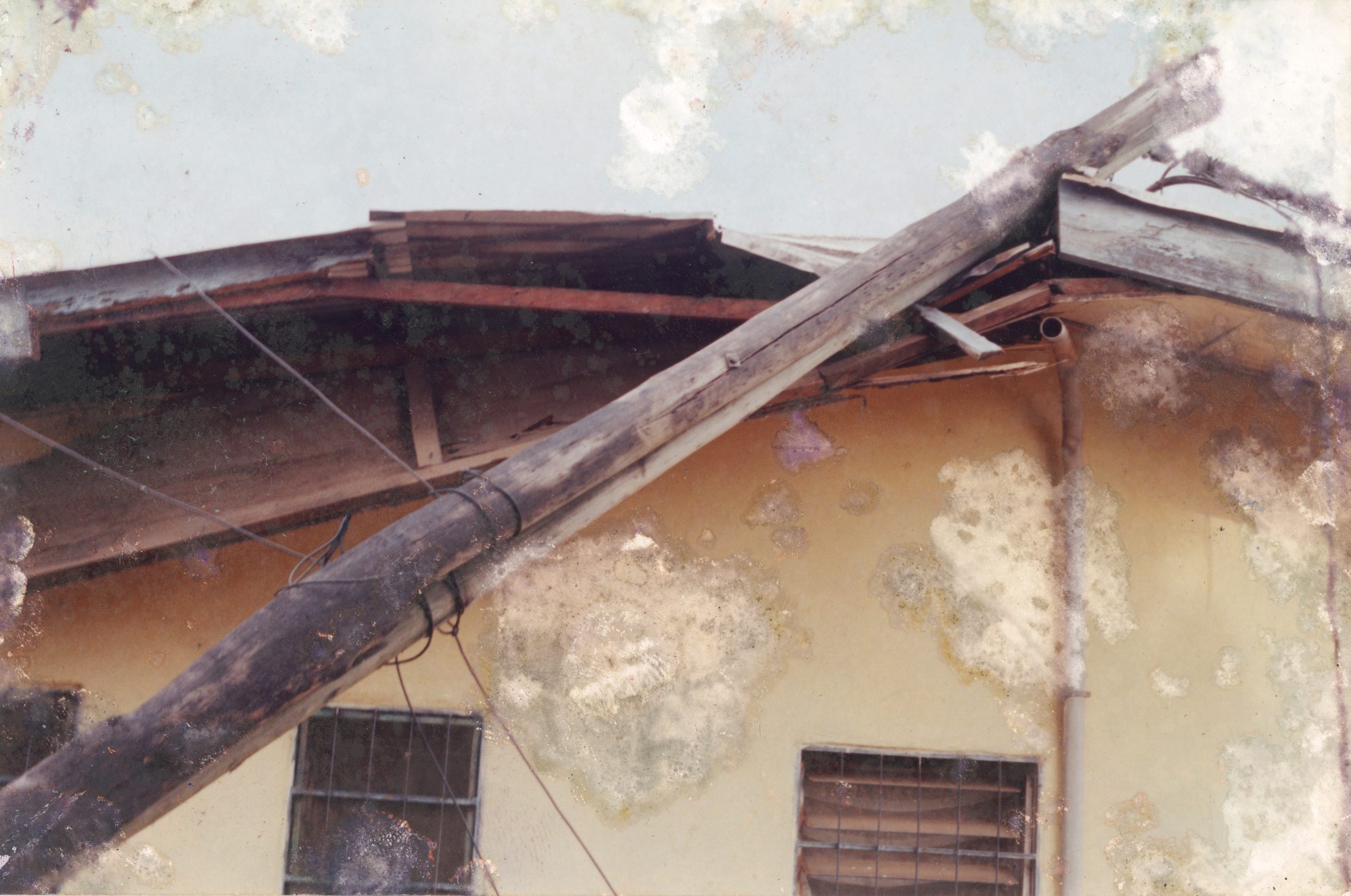
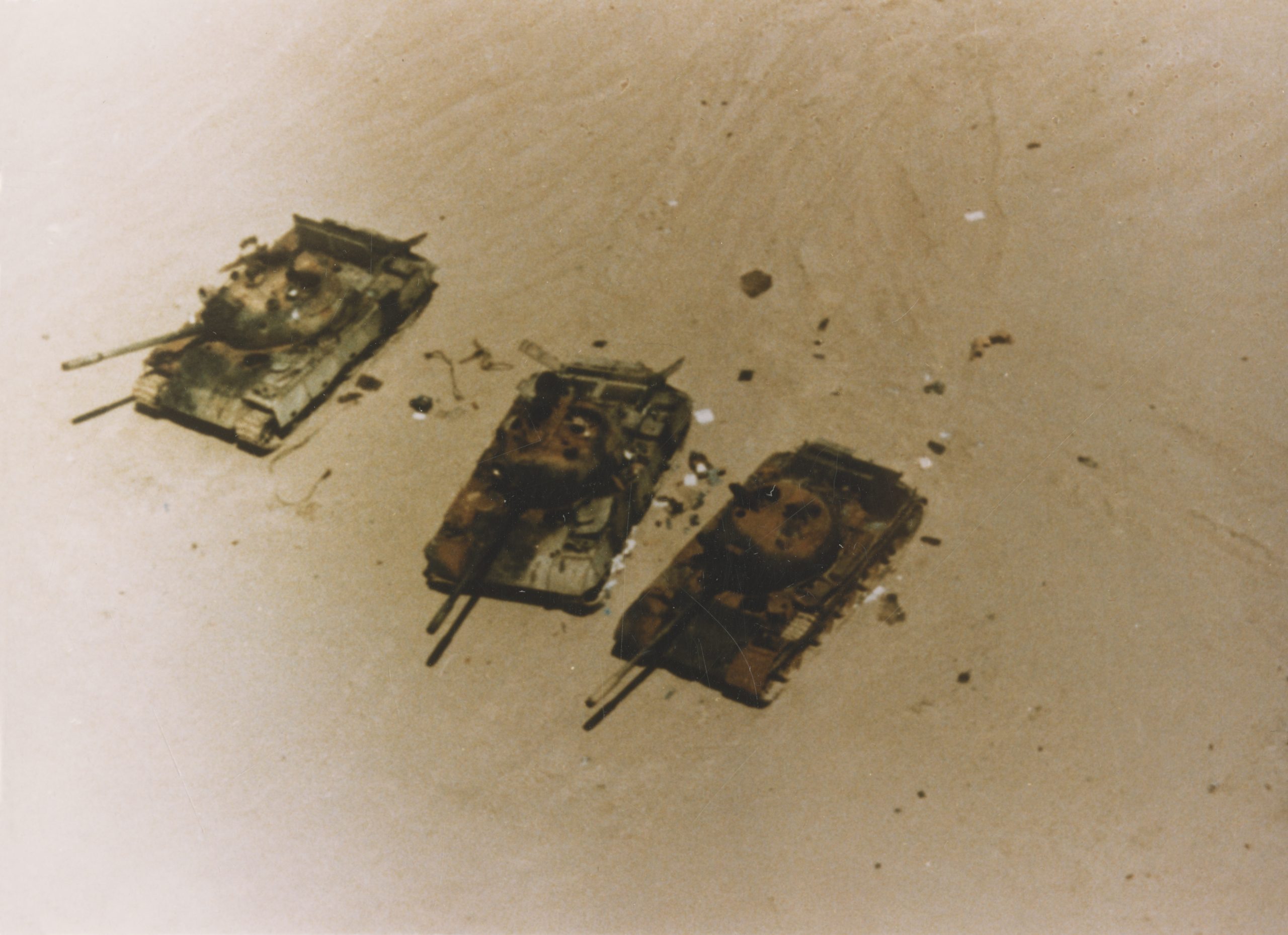
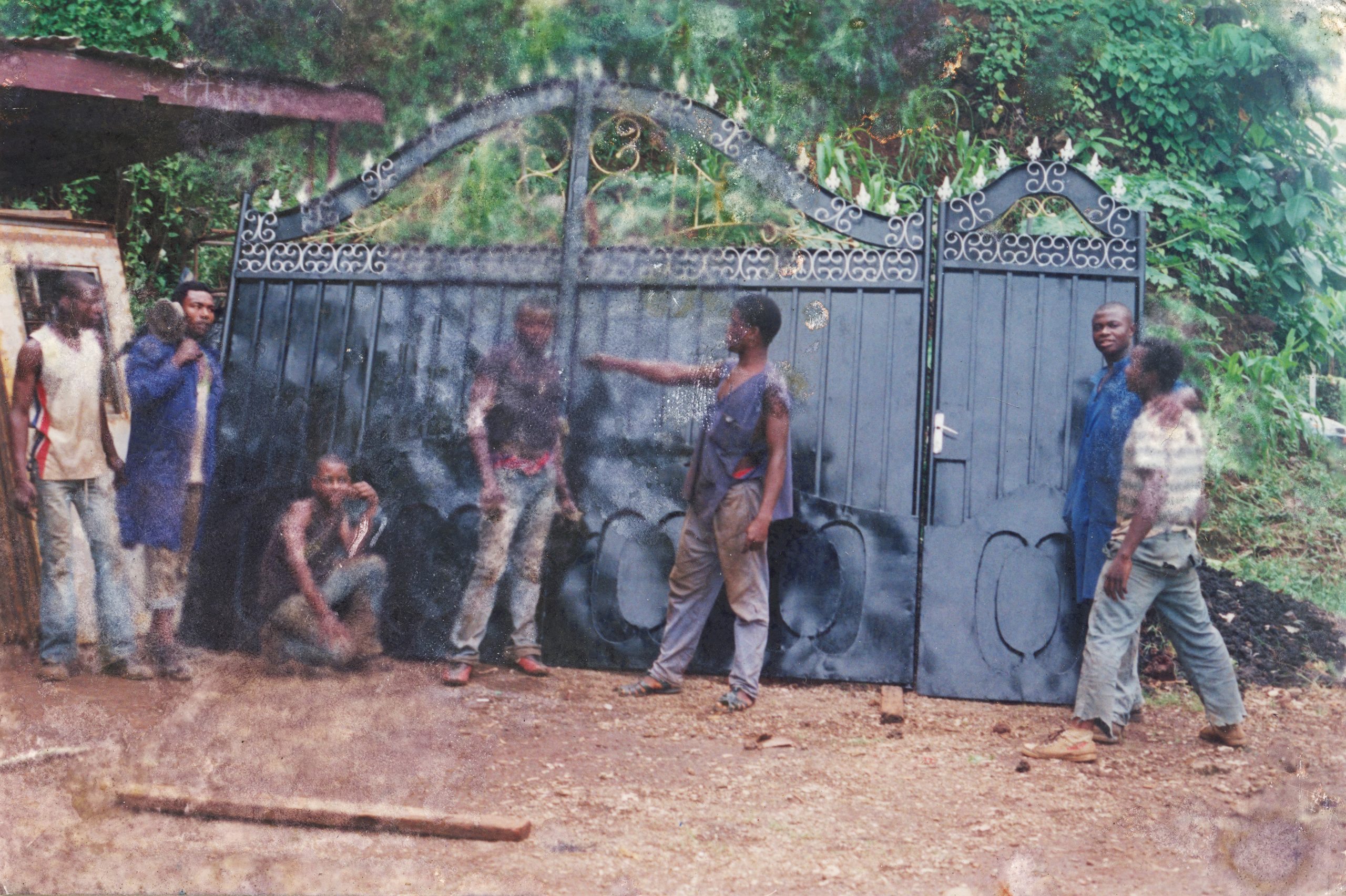
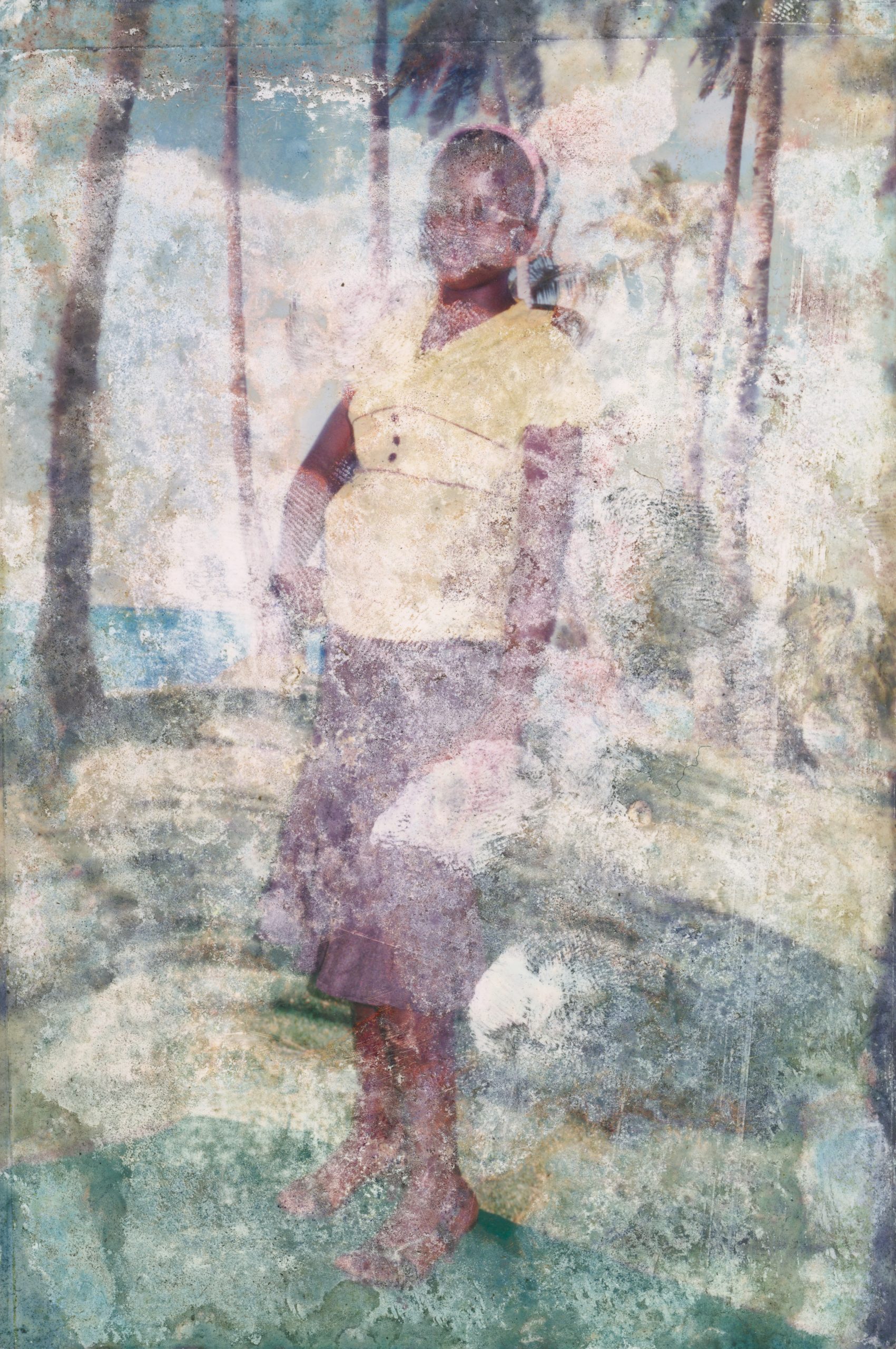
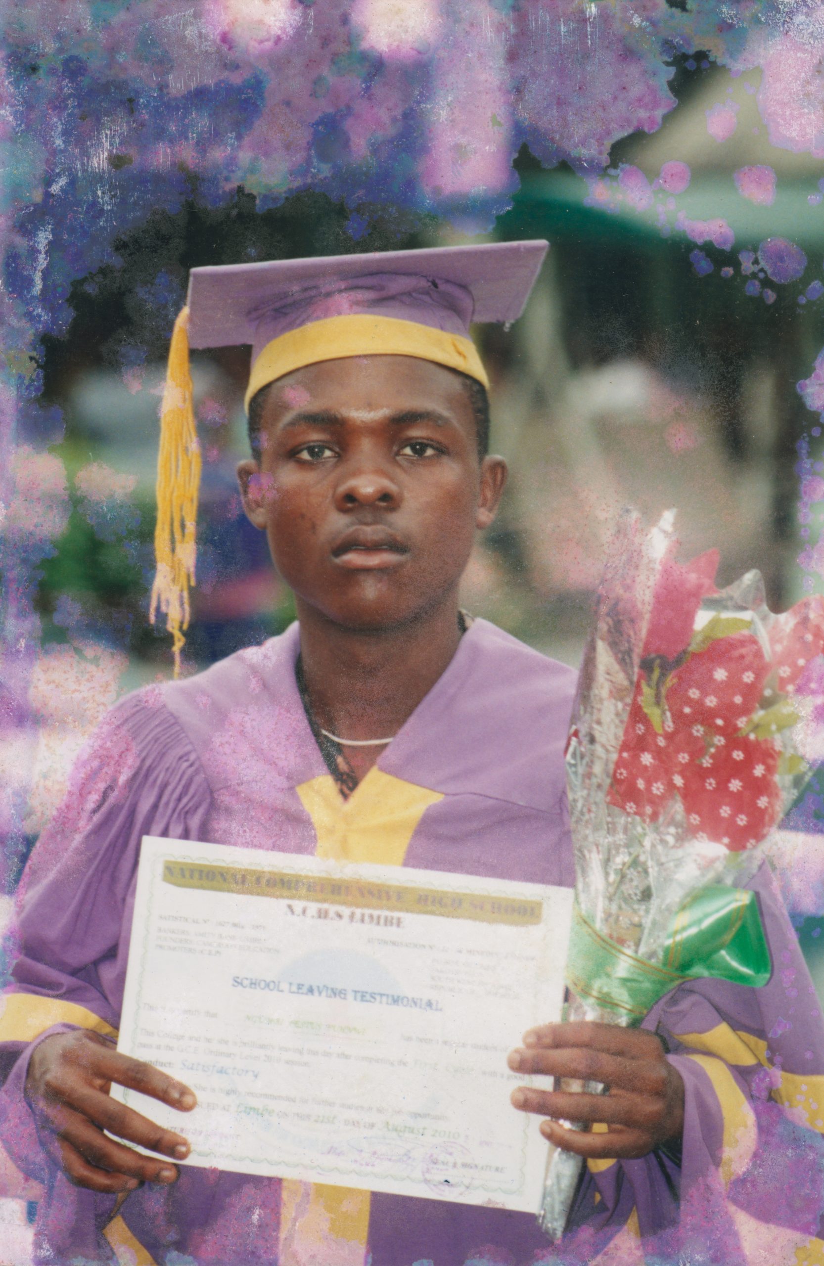
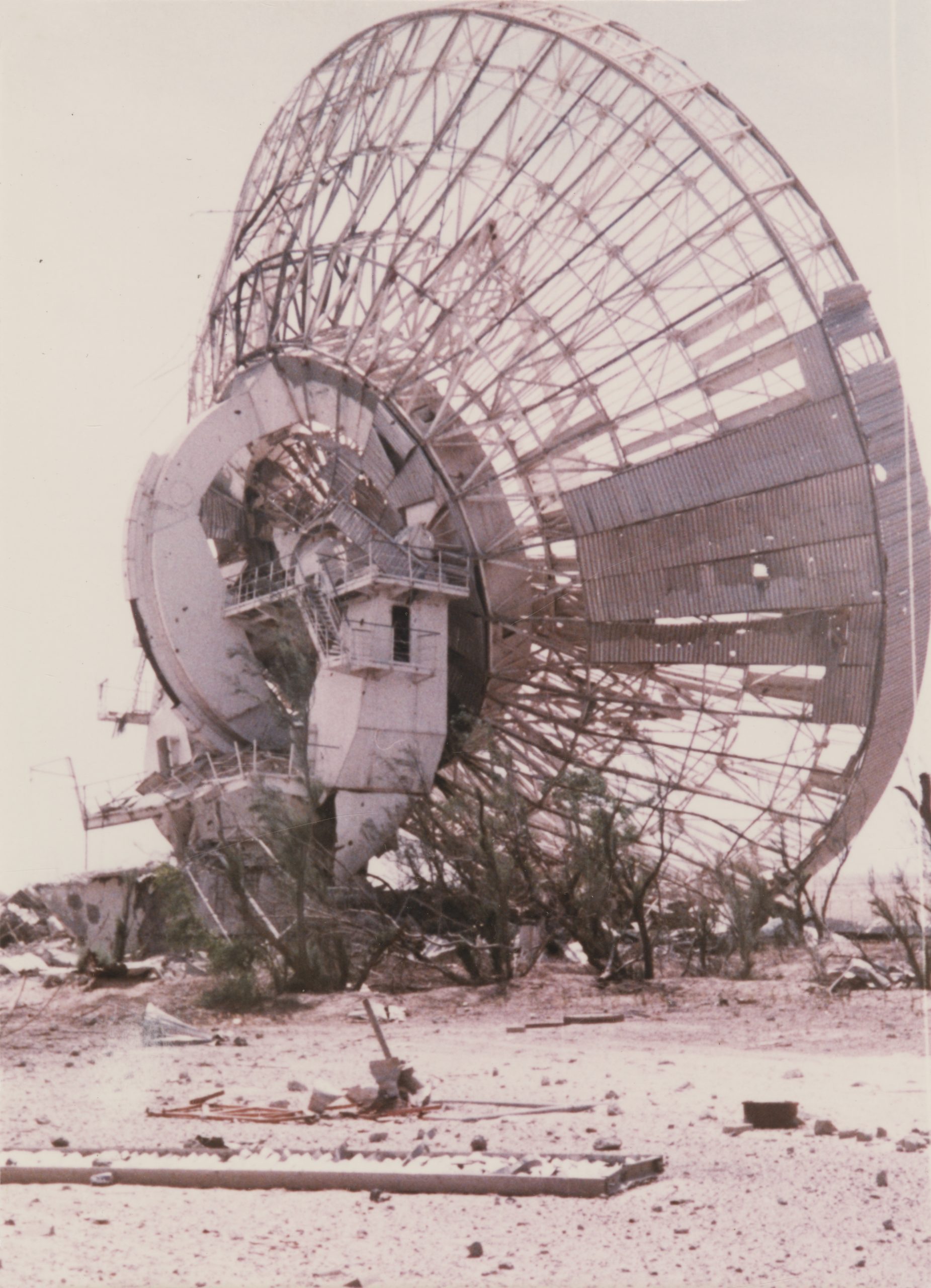
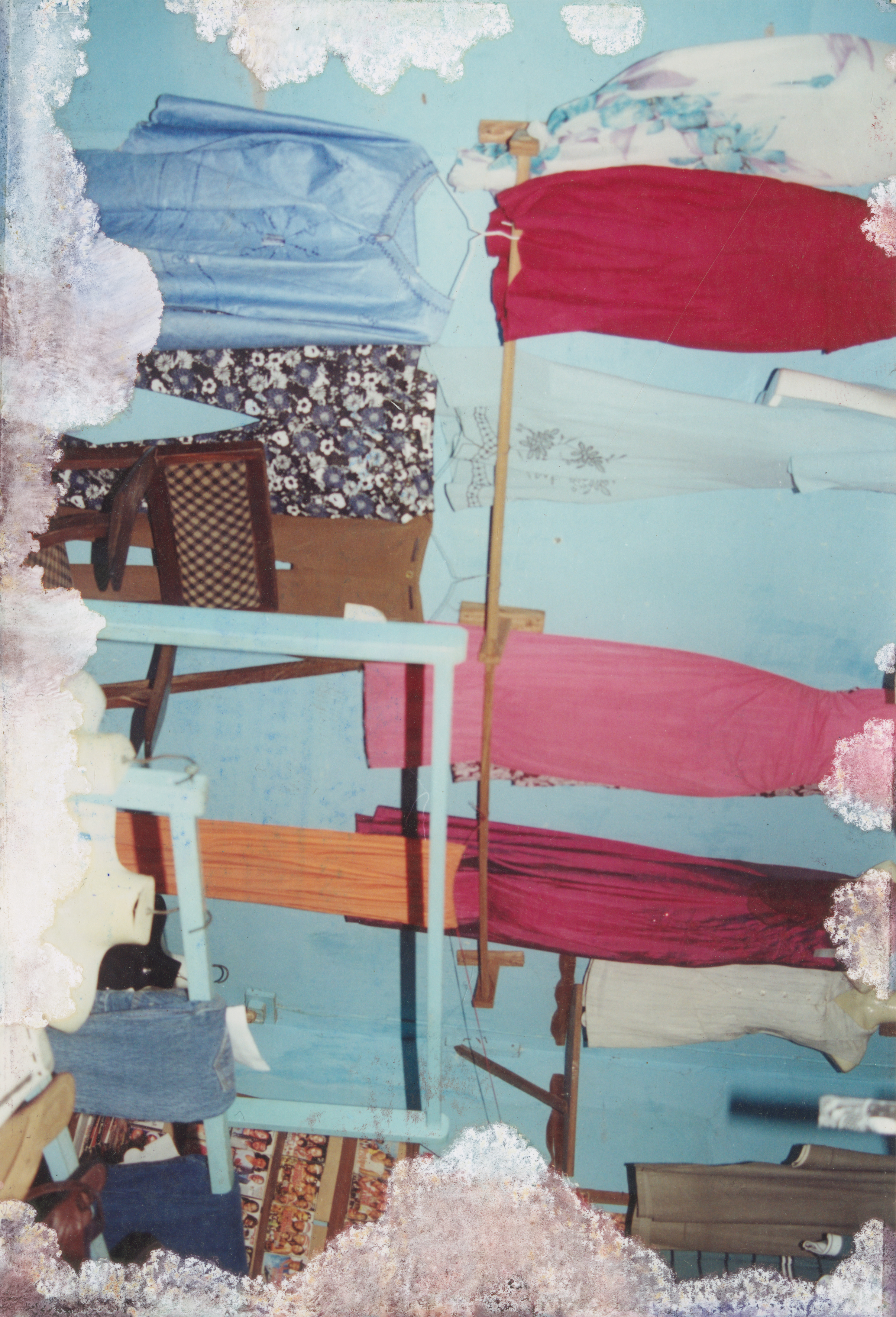
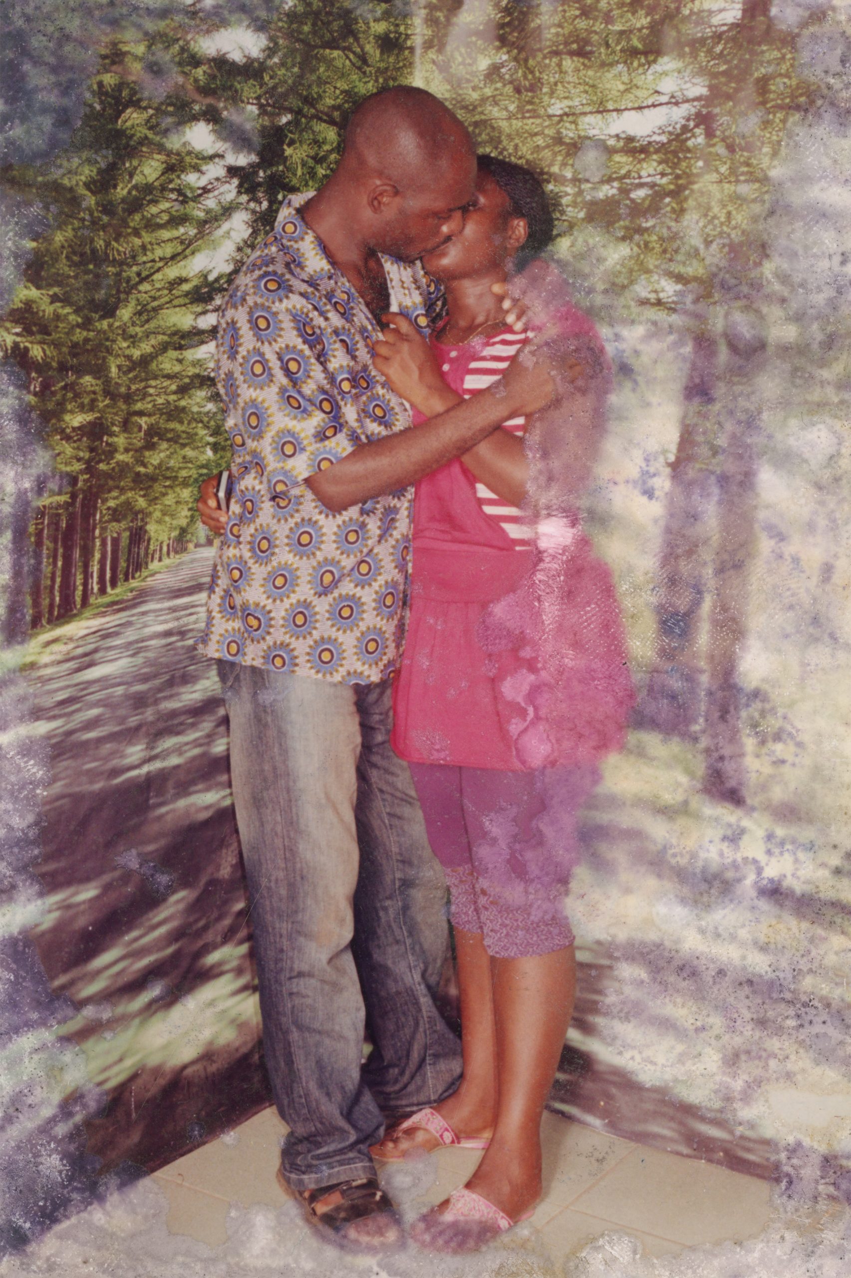
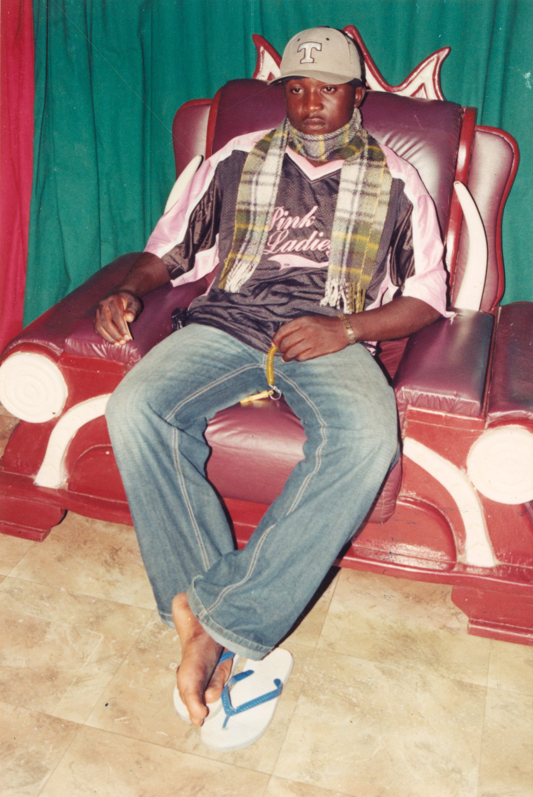
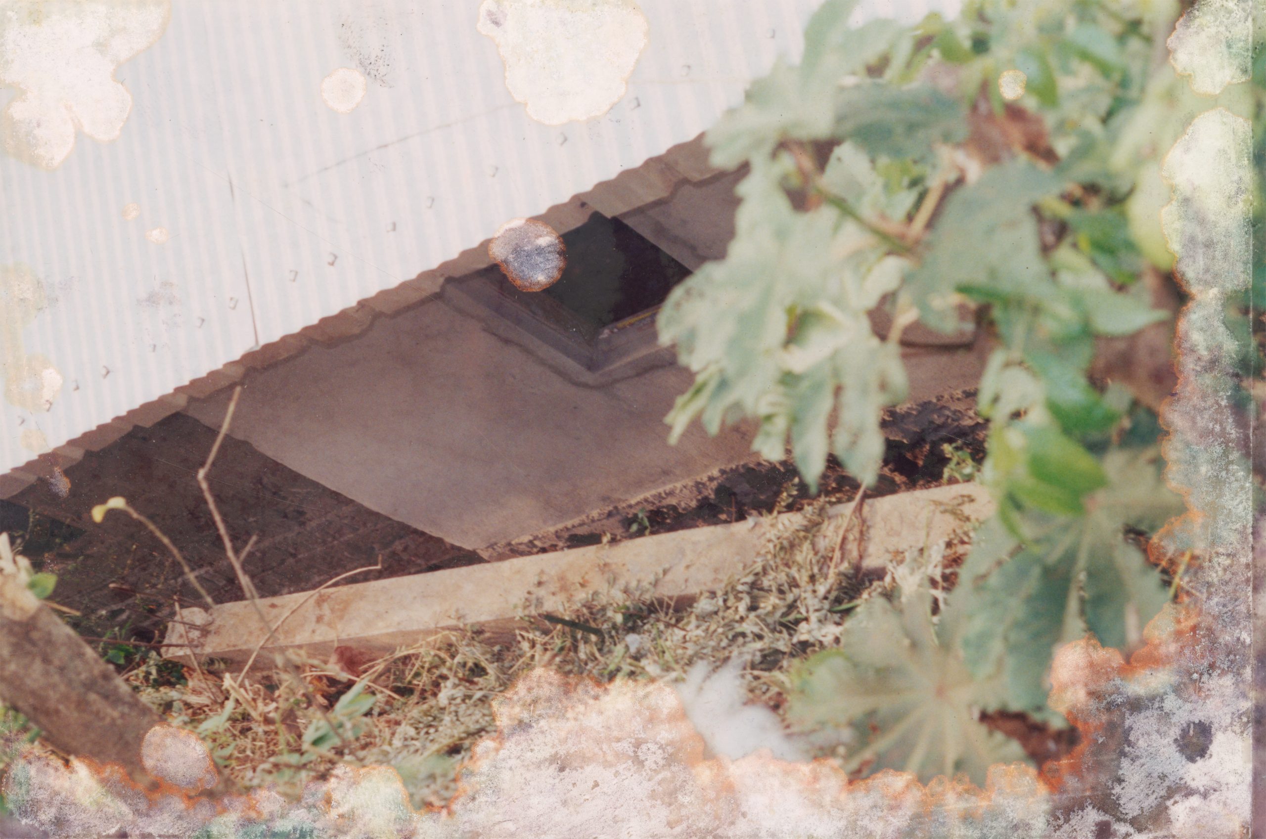
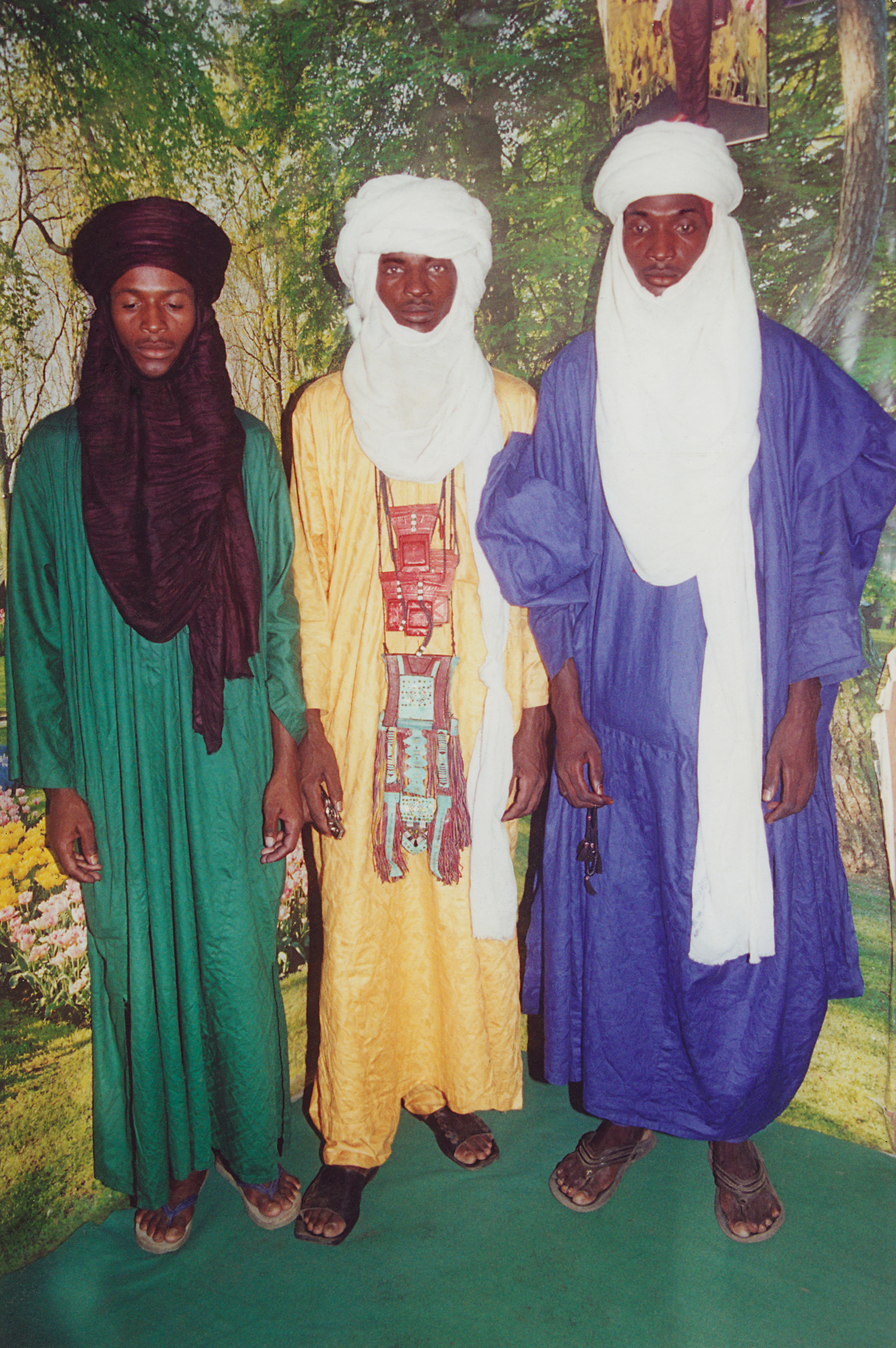
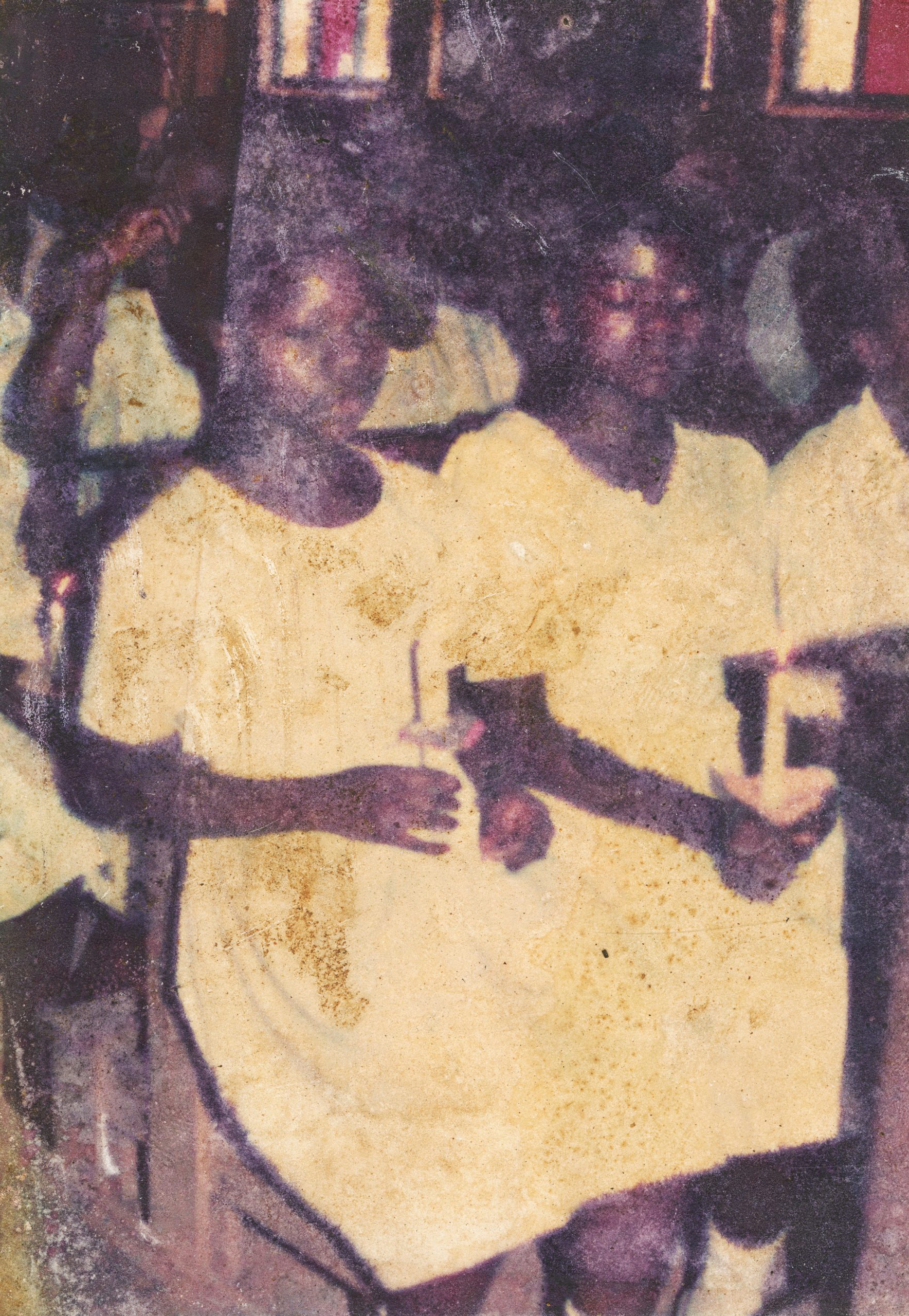
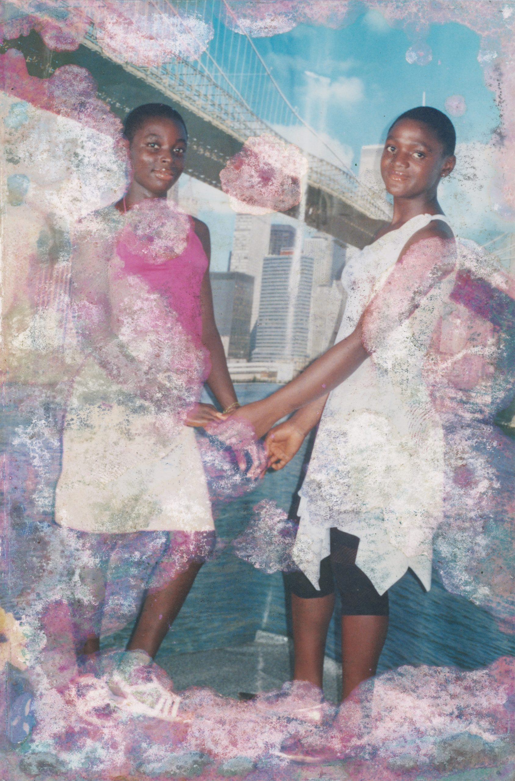
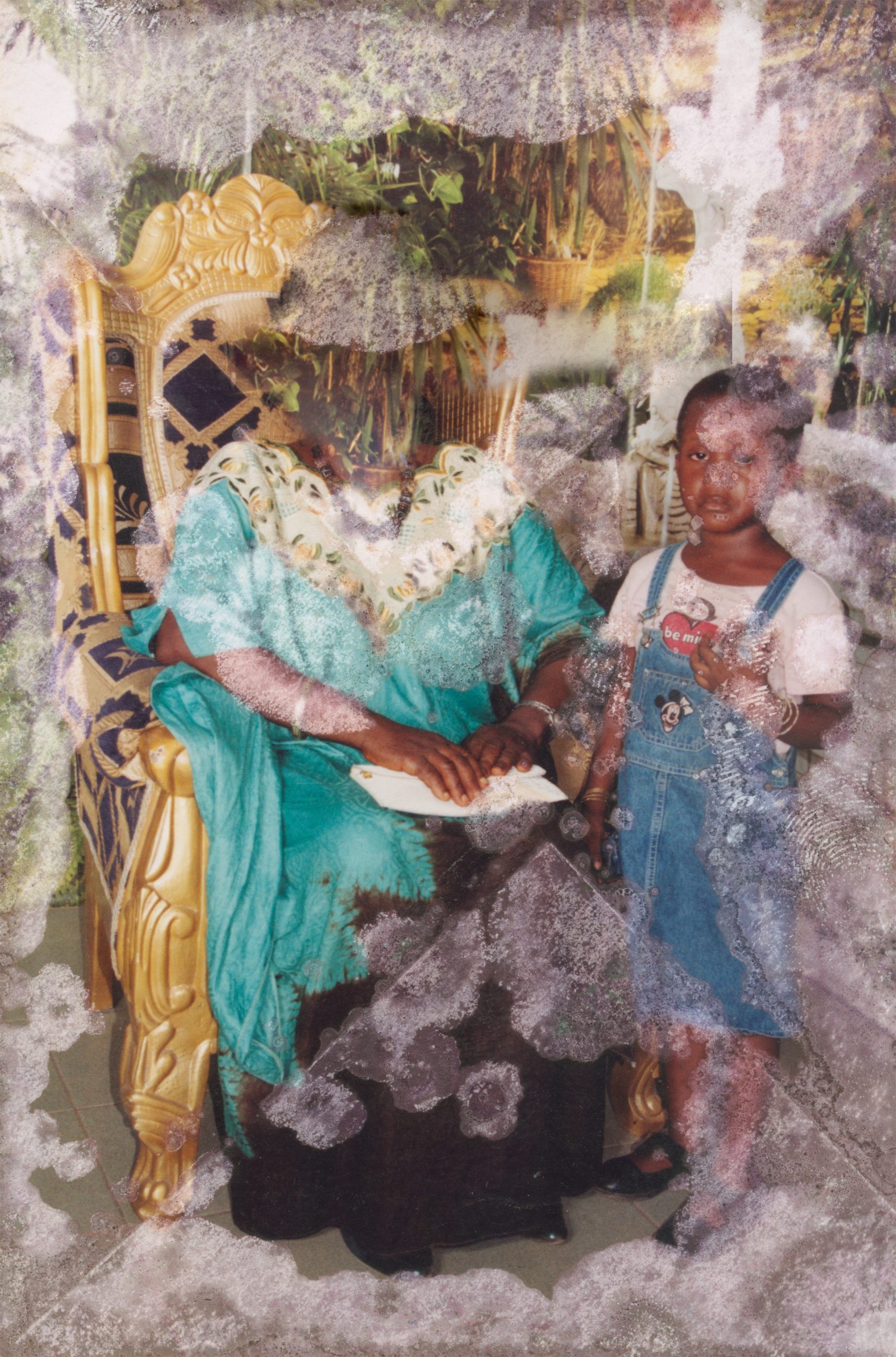
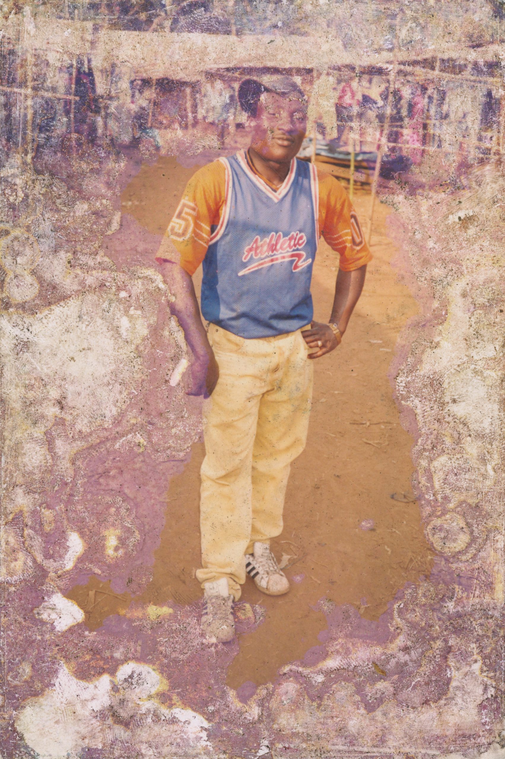
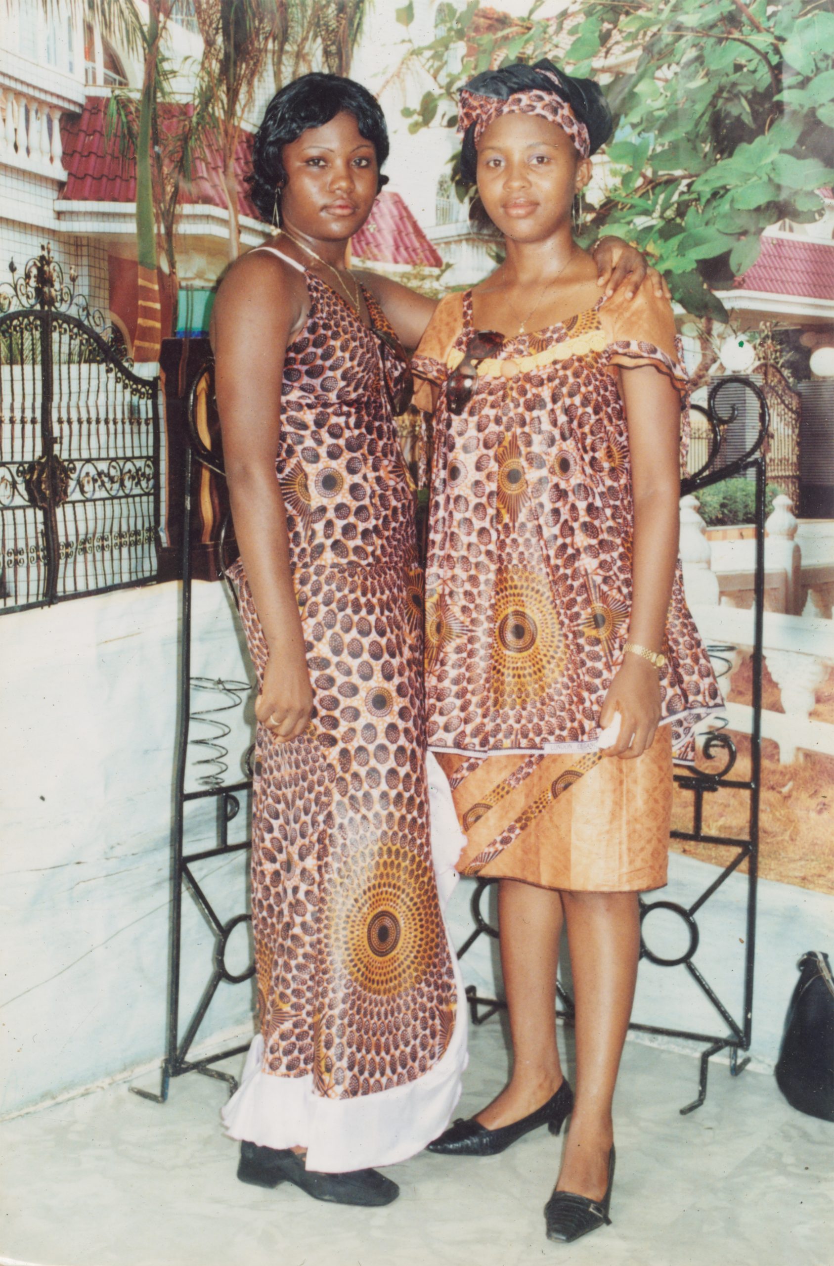
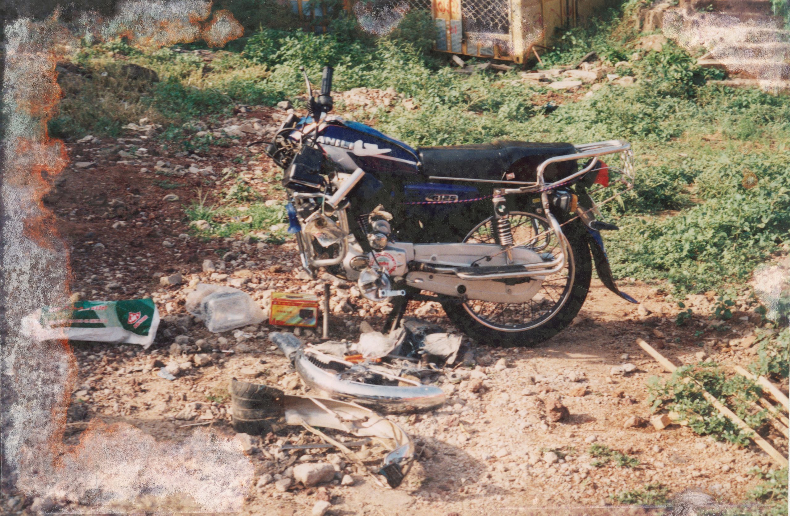
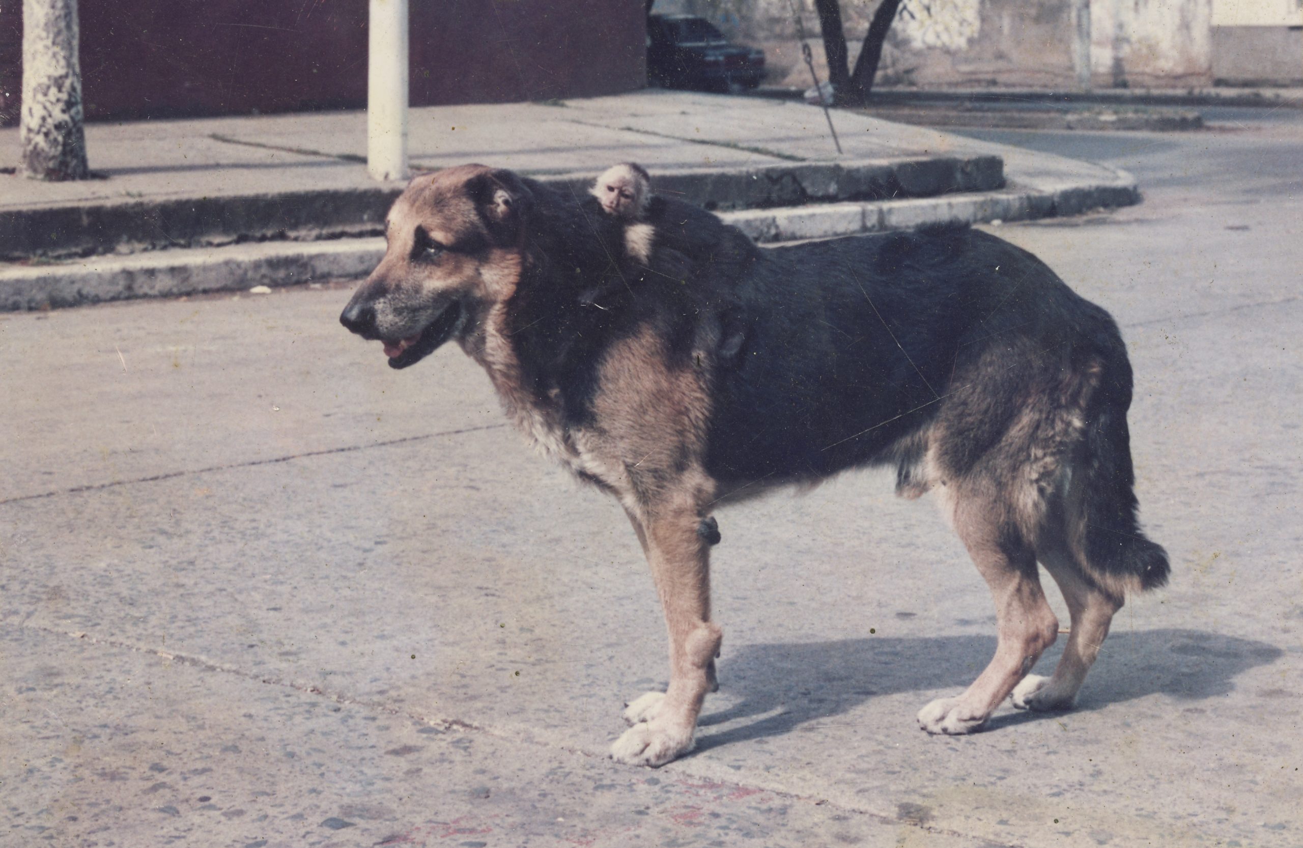
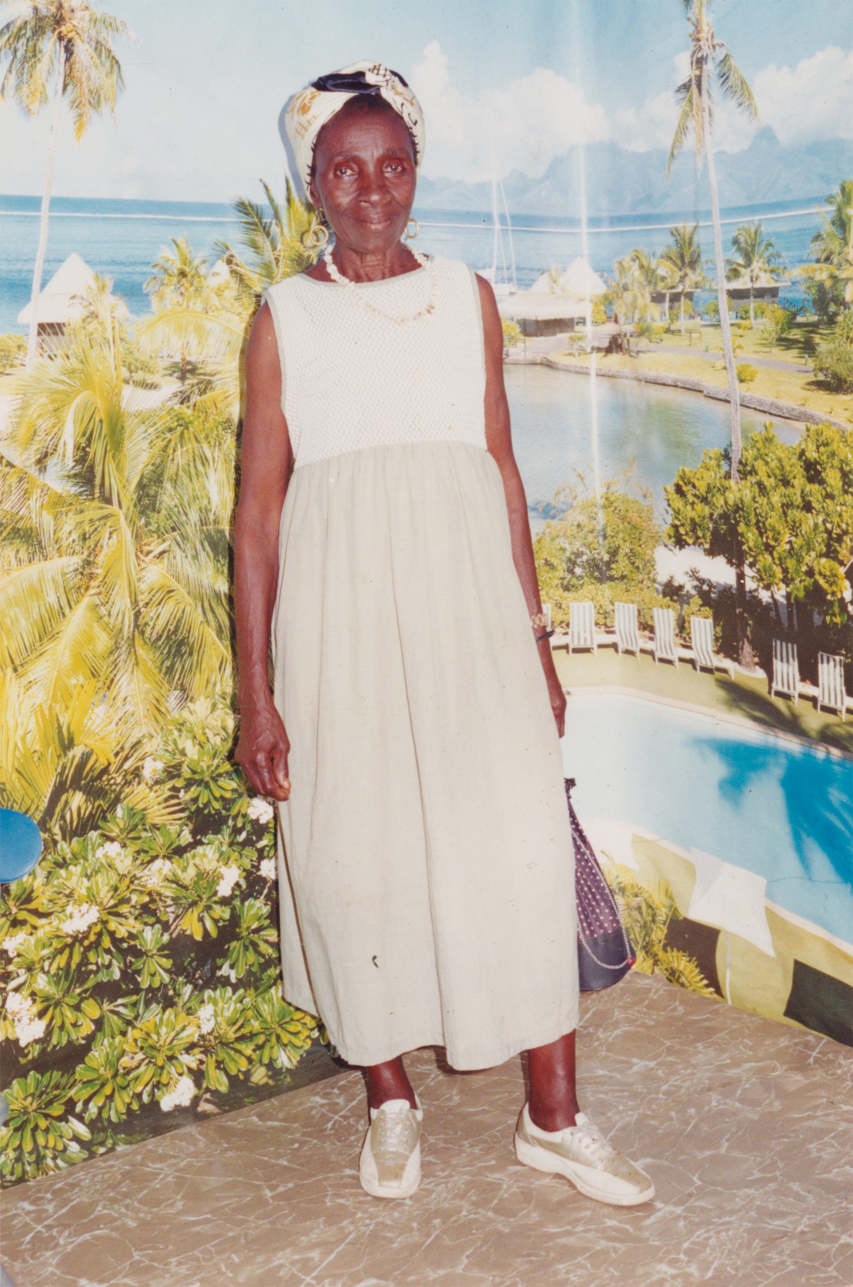
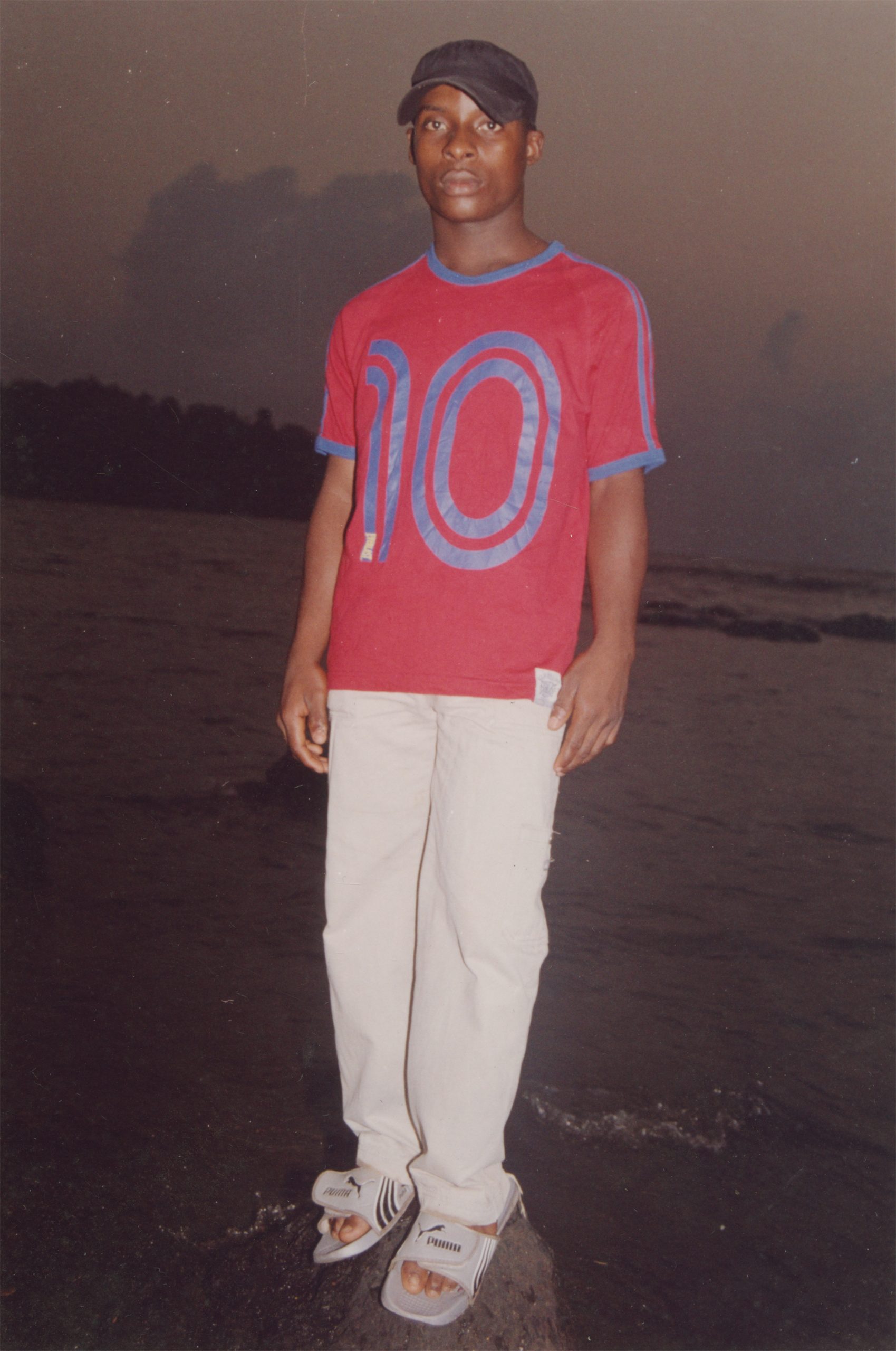
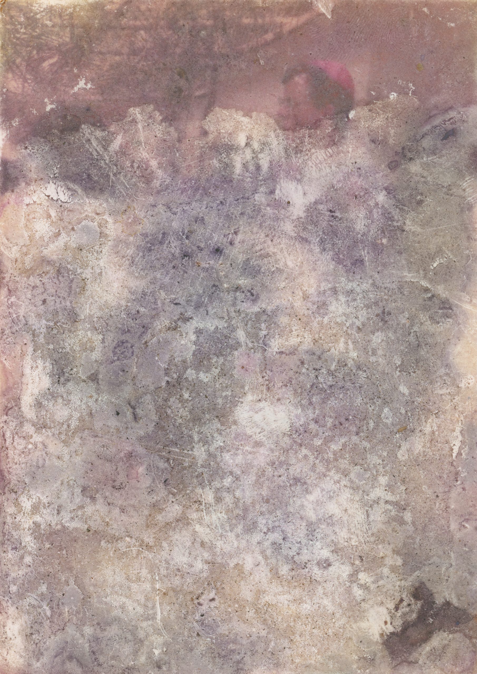
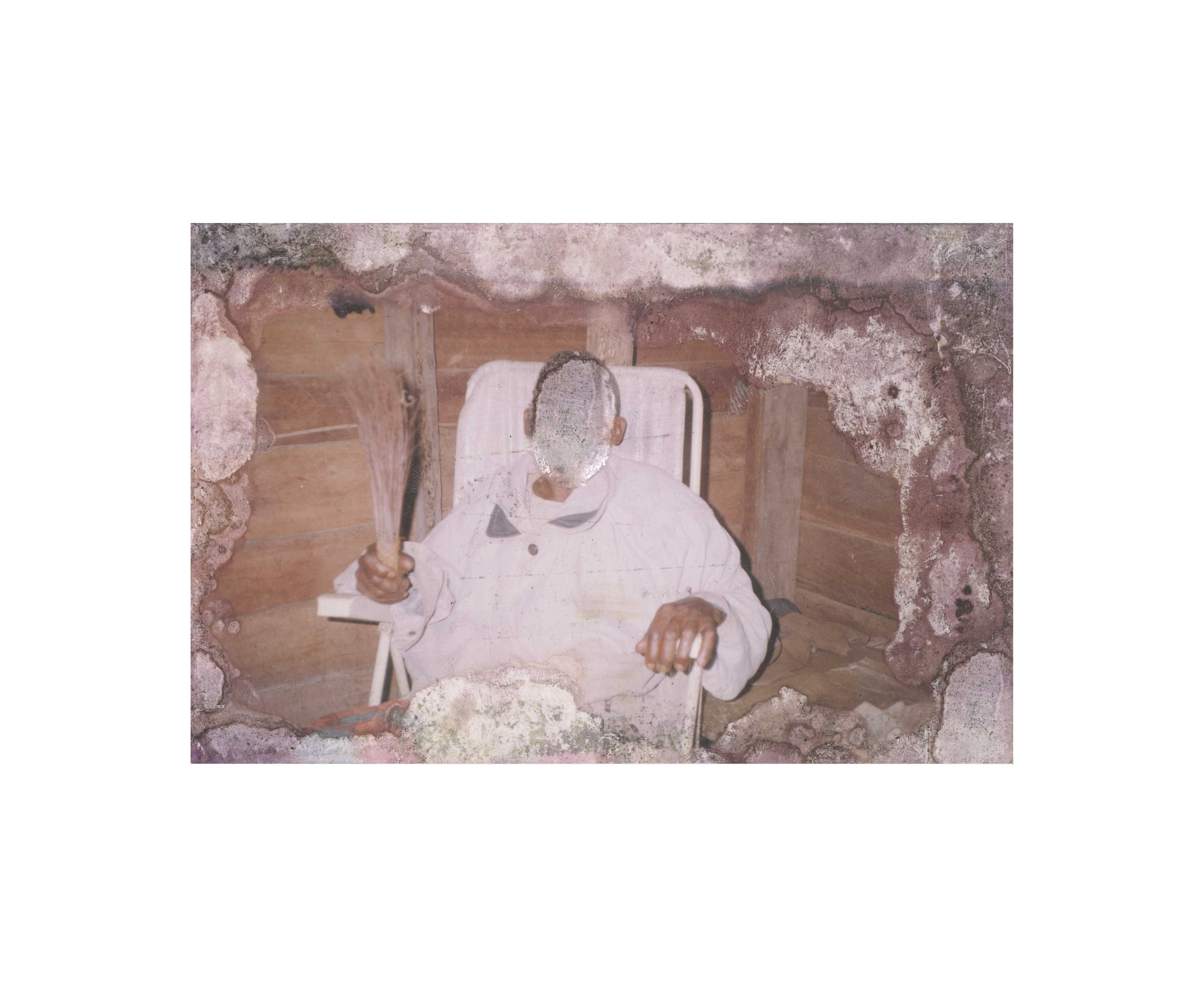
These works are paired with personal photographs recovered from sites Martins visited in the course of his research — routes historically traversed by economic migrants and victims of forced displacement — as well as from the collection of the Archive of Modern Conflict. In these found images, as in the light studies themselves, the referential subject is absent. No clear bridge connects the two sets of work. Only a reverberation: present, persistent, and impossible to fully account for.
-
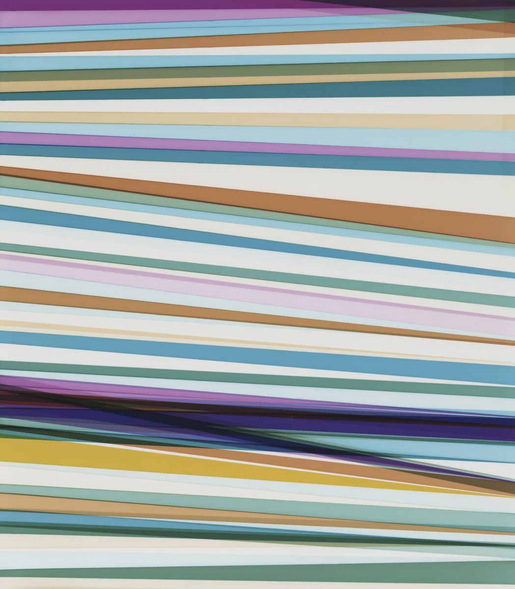
32° 11′ 94″ N, 20° 08′ 68″ E, First Battle of Benghazi (17.02 – 20.02.2011)
-

30° 80’ 02” N, 18° 08’ 65’’ E, location where Anton Hammerl was last seen alive (05.04.2011)
-
30° 26′ 6″ N, 19° 40′ 1″ Brega Oil fields are attacked during first battle of Brega (01.03.2011)
-
33° 14′ 88″ N, 11° 56′ 32″ E, Ras Jedir border with Tunisia closes (01.07.2021)
-
-
32° 88′ 04″ N, 13° 19′ 01″ E, Tripoli Central Hospital (1st visit) (30.09.2021)
-
32° 75′ 64″ N, 21° 73′ 76″ E, 50 black Africans, mostly from Chad, were lynched by protesters in Al Bayda (06.03.2011)
-
32° 53′ 07″ N, 13° 02′ 13″ E, NATO air-strike in Aziziya (02.06.2011)
-
-
32° 32′ 56″ N, 15° 09′ 93″ E, Battle of Misrata (18.02.2011)
-
32° 88′ 04″ N, 13° 19′ 01″ E, Tripoli Central Hospital (2nd visit) (30.03.2022)
-
30° 41′ 00″ N, 19° 57′ 00″ E, NATO airstrikes killed 14 rebel fighters and wounded seven more on the frontline at Brega (02.03.2011)
-
32° 11′ 94″ N, 20° 08′ 68″ E, First Battle of Benghazi (17.02.2011)
-
32° 11′ 94″ N, 20° 08′ 68″ E, Two policemen hanged by protesters in Benghazi (18.02.2011)
-
-
-
32° 27′ 85″ N, 14° 51′ 89″ E, Zliten massacre, where 85 civilians are purported to have been killed in NATO airstrikes (23.06.2011)
-
32° 54′ 4.79″ N, 13° 11′ 5.40″ E, Libyan military strongman Khalifa Haftar survives a car bombing in Tripoli (10.12.2011)
-
-
32° 22′ 39.11 N, 15° 5′ 31.26′ E, Abu Salim prison massacre (27.06.2006)
-
32° 76′ 75″ N, 22° 23′ 24″ E, Protests in Al Qubah (18.02.2011)
-
32° 53′ 55.7 ″N, 13° 10′ 37.6″ E, rebels take shelter in Sidi Darghut Mosque
-
-
30° 80′ 02″ N, 18° 08′ 65″ E, Mass graves with 157 bodies found in Bin Jawad
-
-
31° 18′ 97″ N, 16° 57′ 02″ E, A new mass grave containing the remains of 4 people was found near the seashore in Al-Aweijah area west of Bin Jawad town, near Sirte
-
30° 80′ 02″ N, 18° 08′ 65″ E, The Battle of Bin Jawad (06.03.2022)
-
30° 80’ 02” N, 18° 08’ 65’’ E, Anton Hammerl’s colleagues are abducted near Brega (05.04.2011)
-
-
-
-
33° 14′ 88″ N, 11° 56′ 32″ E, Rebel coastal offensive in Ras Ajdir to cut supplied from Tunisia to Gaddafi Forces (13-28.08.2011)
-
30° 41’ 00’’ N, 19° 57’ 00’’ E, location where Anton Hammerl and colleagues were met by Gaddafi-backed militia
-
32° 54′ 4.5″ N, 13° 11′ 5.25″ E, Suppression of an opposition protest in Tripoli (17.06.2021)
-
-
30° 41′ 00″ N, 19° 57′ 00″ E, Fourth battle of Brega (13.07.2011)
-
30° 41′ 15″ N, 19° 57’08” E, NATO air-strike on a pipeline production plant south of Brega (22.07.2011)
-
30° 26′ 6″ N, 19° 40′ 1″ Brega front line moves again (05.04.2011)
-
-
27° 03′ 65″ N, 14° 42′ 90″ E, Clashes between Gaddafi and rebel forces for control of the desert oasis city of Sabhã (19.06.2011)
-
-
31° 79′ 76″ N, 14° 05′ 37″ E, NATO air-strike in Bani Waled (28.08.2011)
-
27° 03′ 65″ N, 14° 42′ 90″ E, NATO air-strike in Sabhã (19.06.2011)
-
32° 58′ 36″ N, 14° 03′ 63″ E, Civilians flee Msallata clashes (05.08.2011)
-
-
-
-
31° 79′ 76′ N, 14° 05′ 37′ E, Battle of Bani Waled (08.09.2022)
-
-
31° 18′ 97″ N, 16° 57′ 02″ E, Second Gulf of Sidra offensive (23.08 – 20.10.2011)
-
-
-
31° 80′ 24″ N, 12° 30′ 06″ E, Protests in Zintan (20.02.2011)
-
32° 54′ 4.79″ N, 13° 11′ 5.40″ E, Execution of a rogue rebel in Tripoli (03.09.2011)
-
-
32° 75′ 62″ N, 21° 73′ 70″ E, Rebel capture of the La Abraq Airport in Bayda (21.02.2011)
-
-
32° 54′ 4.19″ N, 13° 11′ 5.29″ E, Discovery of a killing site for mutinous soldiers in Tripoli (29.08.2011)
-
32° 54′ 4.17″ N, 13° 11′ 5.45″ Execution of rebel prisoners near Tripoli (05.05.2011)
-
-
-
32° 06′ 82″ N, 23° 94′ 18″ E, Protests in Tobruk (21.02.2011)
-
31° 18′ 97″ N, 16° 57′ 02″ E, Capture and execution of rebel fighters at Sirte (26.02.2011)
-
31° 56′ 28″ N, 12° 5′ 27″ E, Families protest in Roujdane (16.02.2011)
-
-
32° 54′ 4.19″ N, 13° 11′ 5.29″ E, Suppression of an opposition protest in Tripoli (29.05.2011)
-
-
-
30° 26′ 6″ N, 19° 40′ 1″ Second battle of Brega (13.03.2011)
-
32° 7′ 0.0084” N, 20° 4′ 0.0048” E, Revenge killings against loyalists in Benghazi (21.02.2011)
-
30° 41′ 00″ N, 19° 57′ 00″ E, 11 religious imams were claimed to be killed and 50 others injured when a NATO airstrike struck a large gathering in Brega (13.05.2011)
-
30° 26′ 6″ N, 19° 40′ 1″ Battle of Brega–Ajdabiya road (08.04.2011)
-
-
-
-
31° 86′ 49″ N, 11° 79′ 33″ E, Nafusa Mountains Campaign (01.03.2011 – 20.07.2011)
-
-
30° 26′ 6″ N, 19° 40′ 1″ Third battle of Brega (31.03.2011)
-
30° 26′ 6″ N, 19° 40′ 1″ Brega front line moves again (06.04.2011)
-
30° 26′ 6″ N, 19° 40′ 1″ Attack on a military patrol in Brega
-
-
-